Tregaron
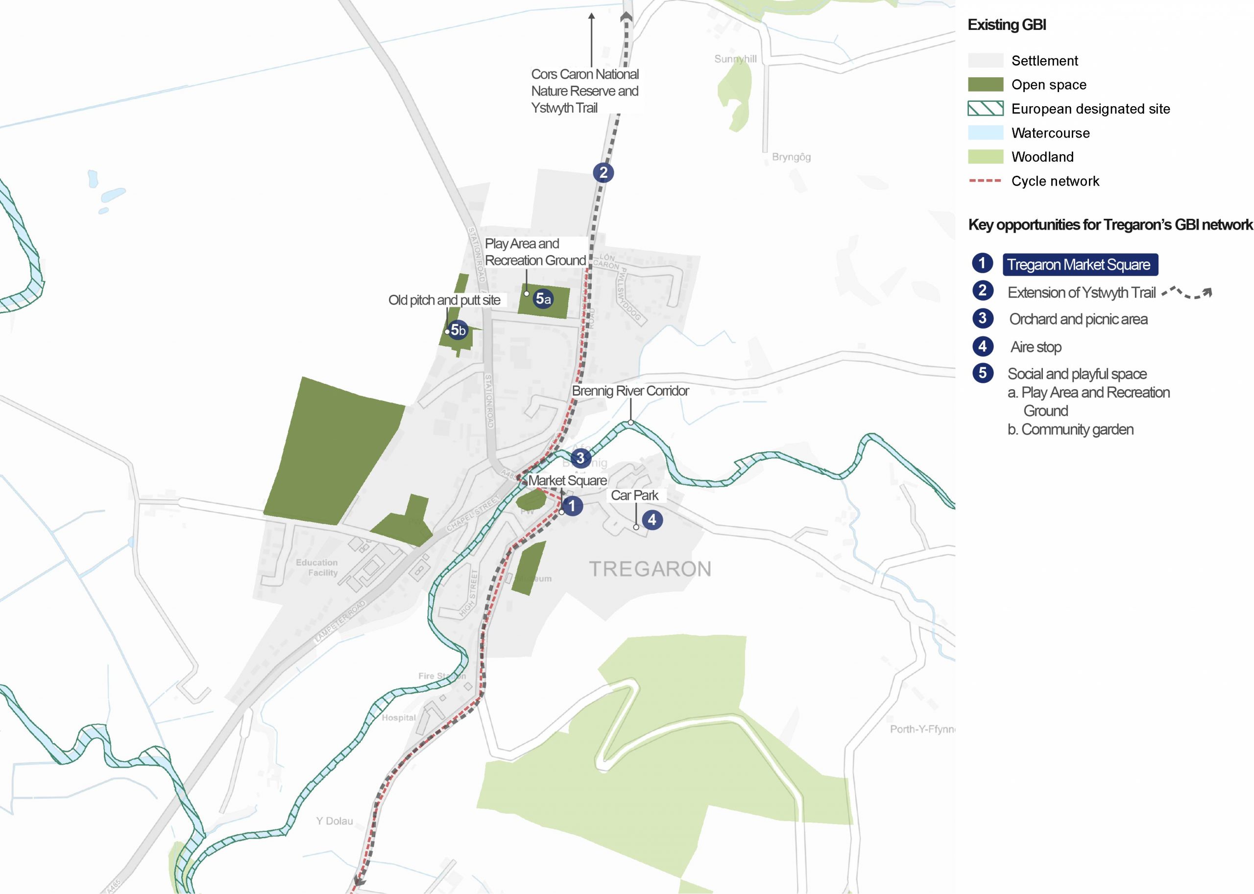
Overview of GBI opportunities in Tregaron
An Overview of Tregaron
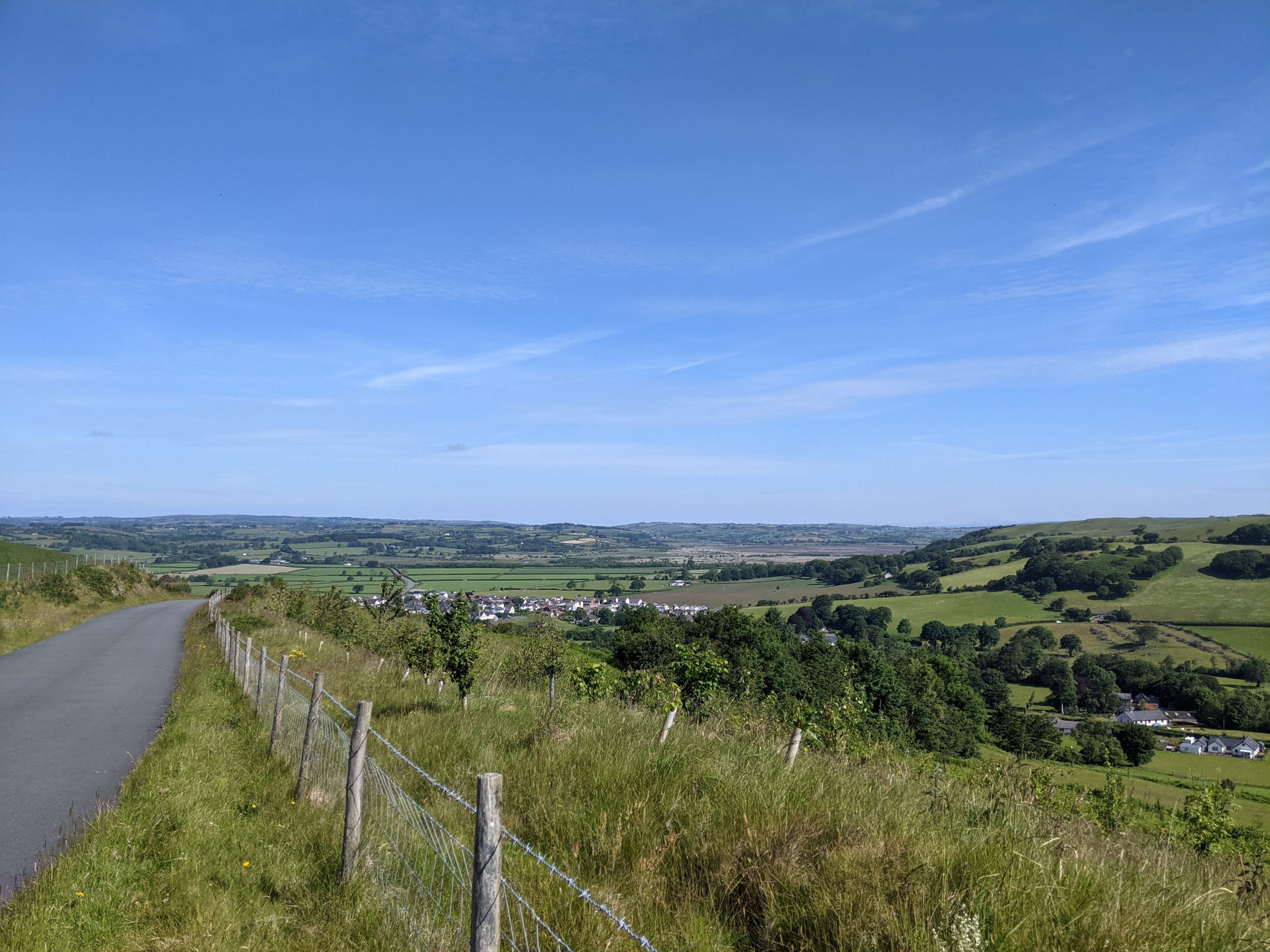
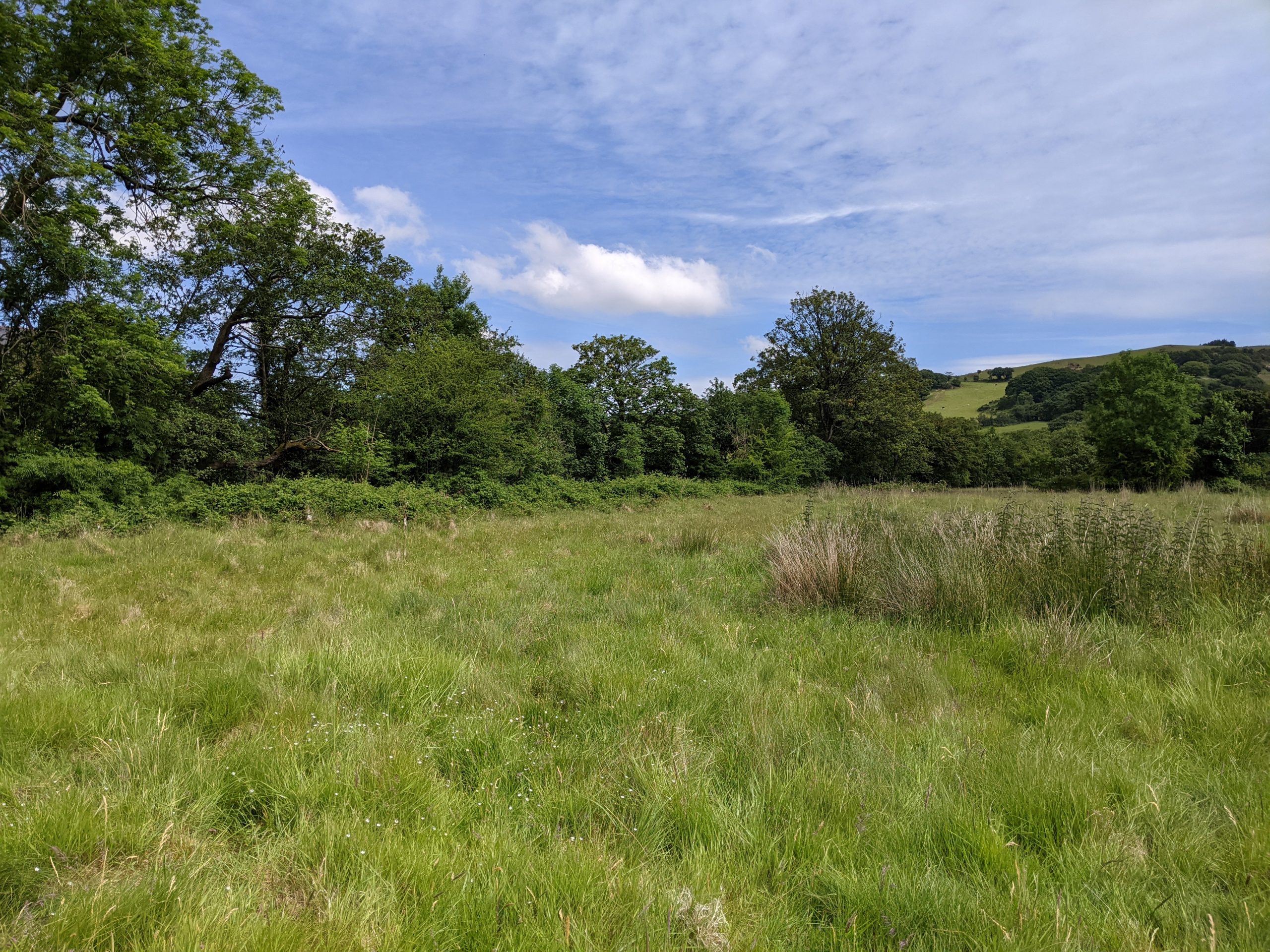
Tegaron's hilly surrounding landscape
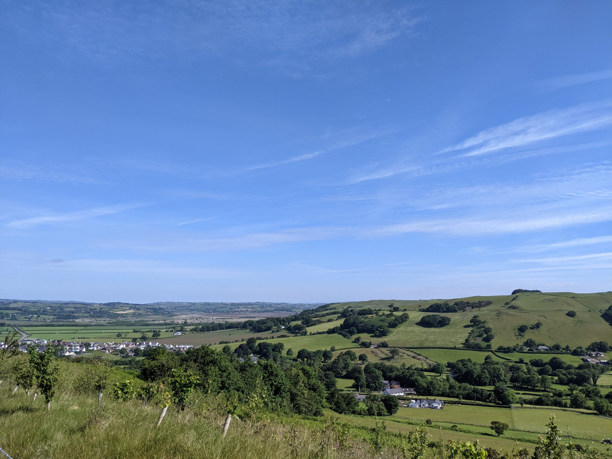
Tregaron is the largest settlement in the uplands of Ceredigion. According to the 2011 census, it has a population of around 1,250 people. It is located where the Afon Brennig meets the Afon Teifi. The lower slopes of the Cambrian mountains to the east provide a rugged backdrop.
The town originally developed around a medieval market square and St Caron’s Church. This historic core remains to be characterised by relatively narrow, winding streets. This leaves little room for green space and vegetation.
Settlement growth in the 1800s was influenced by the drover’s trade and the opening of the Milford and Manchester Railway, however, it was not until the late 20th century that the settlement expanded outside of its historic core.
Tregaron’s ‘blue assets’ are important ecologically. Both its rivers lie within the Afon Teifi SAC and SSSI designations. These are important for their fish species as well as otter, floating water plantain and multi-fruited river moss.
The Cors Caron Nature Reserve lies to the north of Tregaron. This bog was valued historically as a source of peat, wild fowling, summer pasture, and for hay gathering. Today it has an important recreational use and is valued for its rich ecology and distinctive raised bog landscape.
The Ystwyth Trail also runs close to Tregaron but is not directly connected to the town.
“The cycle route to Tregaron could be a mostly traffic free route on a par with the Camel Trail in Cornwall.”
– Stakeholder, online survey
See Appendix B for a summary of all stakeholder comments.
What are the key challenges facing Tregaron?
Walking and cycling connections: There is a good network of Public Rights of Way in the surrounding countryside. However, Tregaron lacks some connectivity because the Ystwyth Trail ends two miles before it reaches Tregaron. As a result, visitors to Cors Caron generally do not continue into Tregaron and it is more difficult for residents to visit Cors Caron car-free. Better access to the wider countryside would bring significant benefits to Tregaron, particularly to open access land at the Cambrian Mountains. This would help to shape the town as a ‘gateway’ for outdoor pursuits.
Local economy: There is a need to enhance the experience of Tregaron town to boost its appeal to visitors and residents. The current lack of economic opportunity in the town reduces the sense of community and civic pride. Many younger people leave the town for work, and numerous services have left the town centre.
Flood risk: Tregaron has a history of flooding associated with the Teifi and Brennig rivers, with significant flooding events in 1987 and 2000. A large flood defence scheme was implemented by Environment Agency Wales in 2008 to 2010, with the aim of protecting over 100 residential and commercial properties. In 2020, NRW announced a natural flood management (NFM) project on the upper Teifi catchment, with the aim of further reducing flood risk in Tregaron.
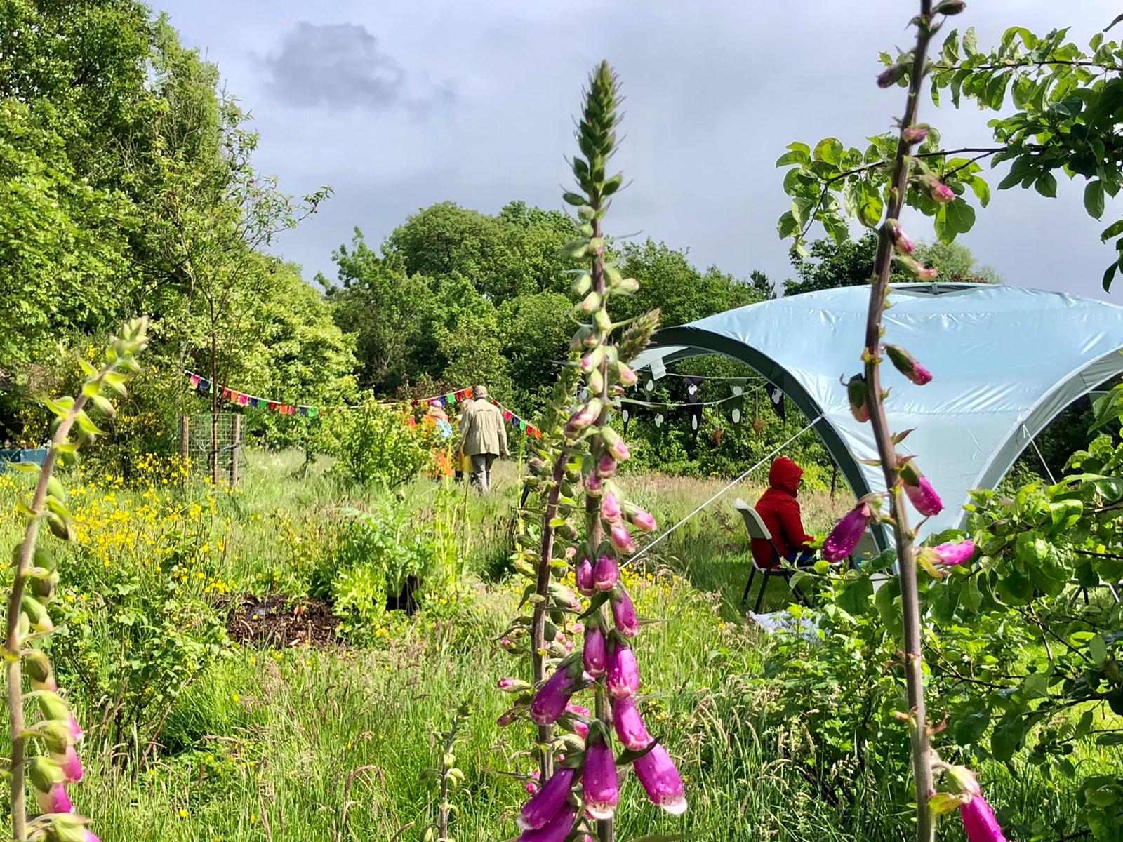
Access to green space: Tregaron has relatively poor access to GBI assets. The town does have open spaces such as playing fields and play areas, but there are few formal parks or accessible natural spaces. Opening up the banks of the Afon Brennig and Afon Teifi to recreation could improve opportunities to connect with nature.
Tree cover: Increasing tree cover in Tregaron is a challenge due to the narrow streets throughout much of the settlement. Tregaron was not considered in the NRW Town Tree Cover Assessment, however the canopy cover in the town is generally low. There may be opportunities to explore other methods of greening, such as green walls and roofs, which take up less space but still provide biodiversity and cooling benefits.
Flagship Project: Tregaron Market Square
For more information on this project, see the dedicated Tregaron Market Square flagship project page.
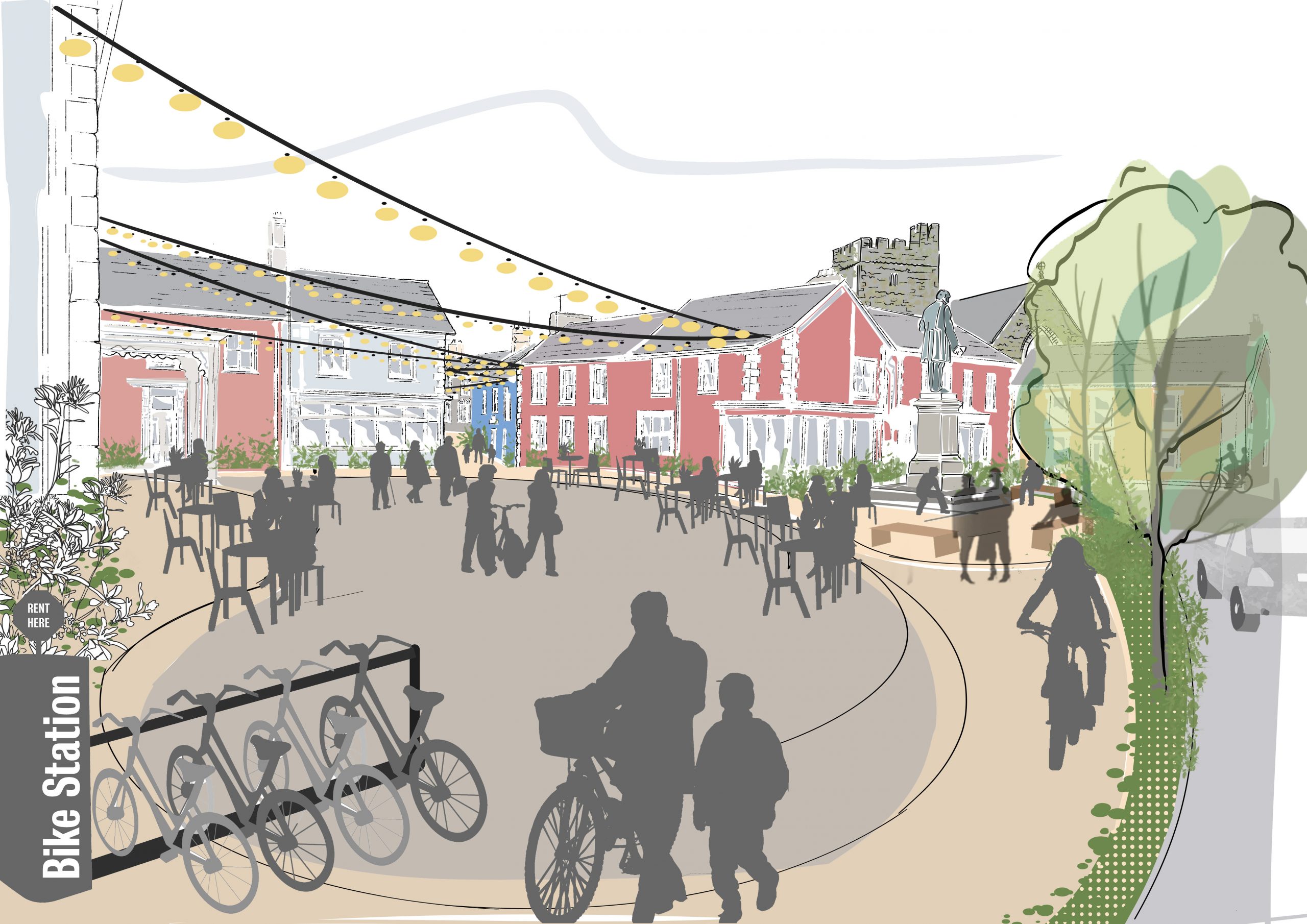
Purpose: Seeking a healthier balance between vehicles and people in Tregaron Market Square. This would free up space for greening, events and for people to walk, cycle and meet in the town centre. In the summer months the space could welcome visitors by foot, bike or car ready to ‘stop off’ and explore local businesses. This would help to boost Tregaron’s profile as a ‘gateway to the Cambrians’.
Project 2: Extension of Ystwyth trail
Purpose: Connecting Tregaron Town centre to the Ystwyth Trail with a safe traffic-free route. This would improve access for local residents to the Cors Caron National Nature Reserve as well as improving connections for locals and visitors alike to Aberystwyth. Improving planting along the trail would also create a valuable pollinator corridor.
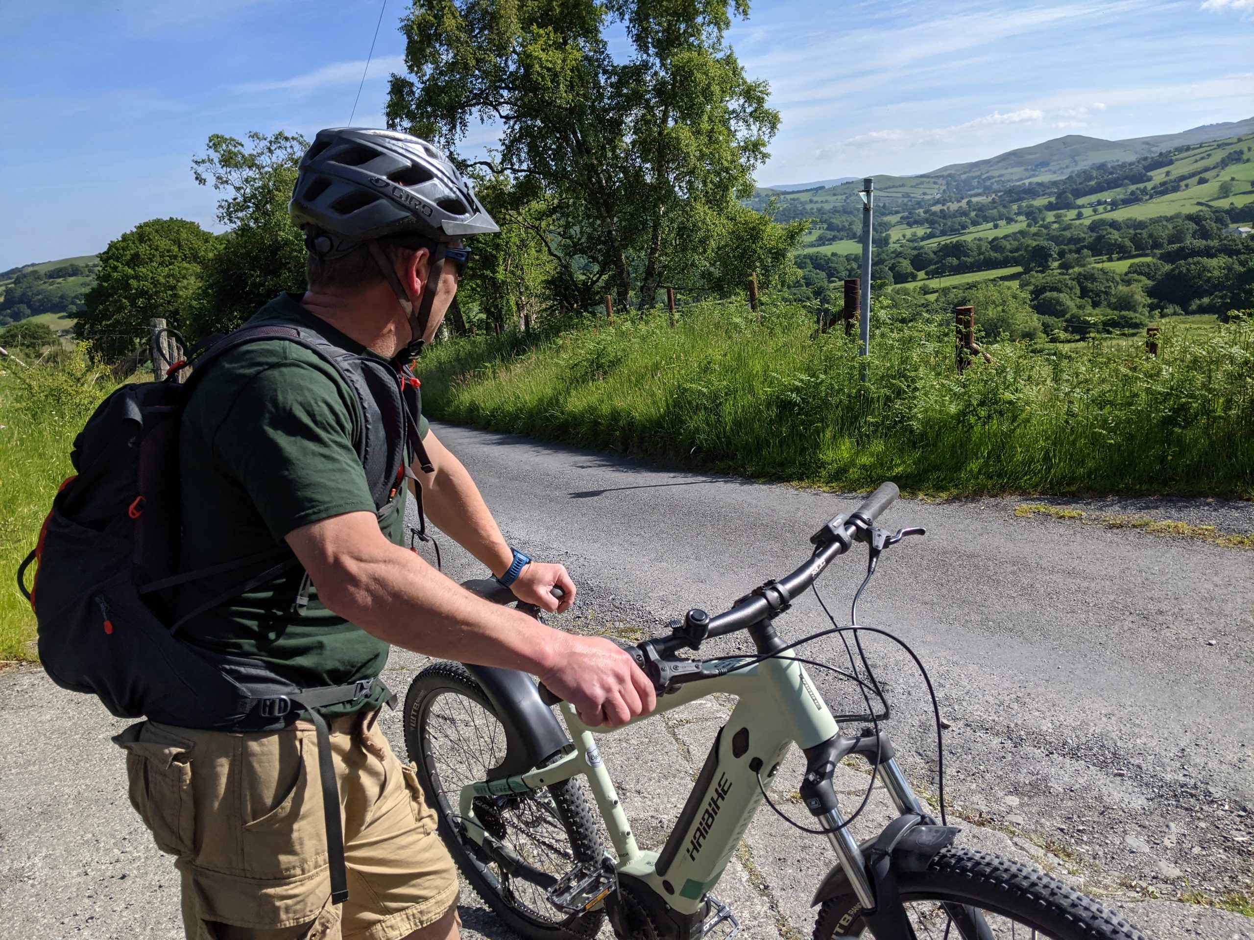
Tregaron's hills are well suited to e-biking
Countryside surrounding Tregaron
Potential partners: Natural Resources Wales, Sustrans, Ceredigion Disability Centre, Walking for Wellbeing, Tregaron Town Council, Cors Caron Nature Reserve.
Description: Creating this important connection would link Tregaron to important nearby destinations.
This route is being explored as part of Ceredigion County Council’s Active Travel Strategy for the Welsh Government. Its delivery would benefit the wellbeing and safety of the local community, many of whom exercise or frequently visit Cors Caron but currently have to drive or navigate narrow lanes by bicycle.
Extending the trail to Tregaron would encourage walkers and cyclists visiting the area to spend time and money at businesses in the town. It also offers the opportunity to market Tregaron as a base for exploring the trail, with opportunities to develop a campsite as part of an expanded hospitality offer in the town.
Options to complete the trail include:
- negotiating with relevant landowners for the use of sections of the old railway corridor.
- using an existing wide green path known as Gypsy Lane.
- creating dedicated cycle lanes on the final section of the B343 where it enters the town.
Aside from active travel, the route offers potential to enhance biodiversity and better connect habitats. The route could be made pollinator-friendly by maintaining hedgerows and introducing wildflower planting along the borders.
Walking and cycling through the town itself could be improved by reallocating space to walkers, cyclists and wheelchairs, with wider pavements on busy roads, improved maintenance of ‘back routes’ through the town and ‘school streets’. Signage and wayfinding would also play an important role.
Inspiration from elsewhere…
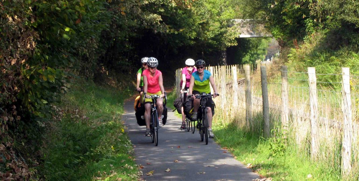
The Lon Las Menai & Lon Eifion Cycleway is a scenic, 16 mile cycle path with excellent traffic-free hard surface – stretching all the way from the town of Caernarfon to the centre of Bryncir village. The path is well used and runs alongside the Welsh Highland Railway. The Ystwyth Trail can be upgraded to provide similar traffic-free connections right into the heart of Tregaron town centre.
Case study image: Lon Eifion Cycleway (Cycling North Wales)
Project 3: Orchard and picnic area on the banks of the Afon Brennig
Purpose: Celebrating and improving Tregaron’s riverside walk by improving access and incorporating space for social activities, education and play. This offers the opportunity to support the health of the river corridor, tackle flood risk along the river and plant community orchards.
Brennig riverside
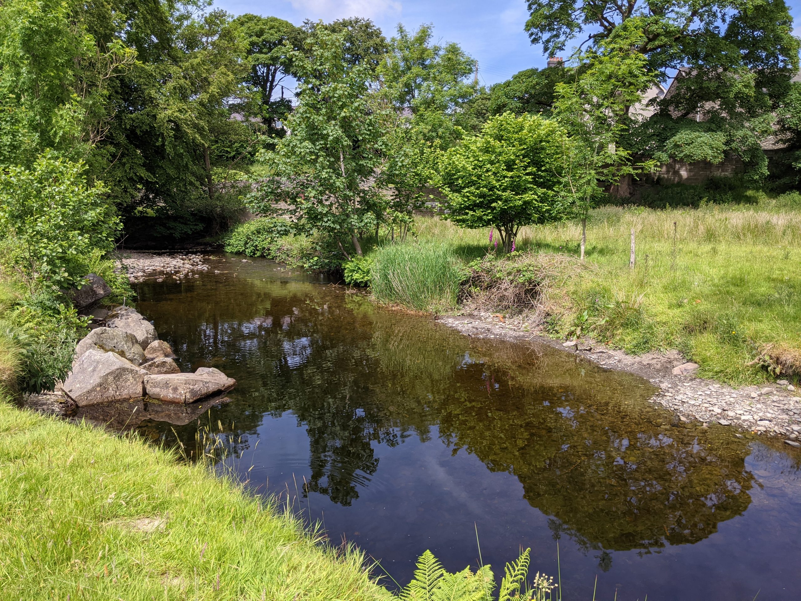
Land owned by Natural Resource Wales near River Brennig
Potential partners: Natural Resources Wales, Tregaron Town Council, local community and businesses, The Orchard Project.
Description: Space has been identified for a community orchard on a floodplain in the heart of Tregaron and bordering the Afon Brennig.
This land played a role in flood alleviation work carried out by Natural Resource Wales (NRW). The site is owned by NRW but is not currently used to provide any additional GBI functions.
A community orchard would be a valuable wellbeing resource for the local community. Additional planting would also improve the flood resilience and biodiversity of the site, creating a truly ‘multifunctional’ GBI asset.
The site is centrally located in the town, just beyond the Market Square, and would benefit from improved access points. In particular a ramp should be provided from the existing bridge to connect to the riverside footpath. Alternatively, a footbridge across the river from the B4343 outside Y Llew Coch would provide access to the Afon Brennig. This should be accessible by wheelchairs.
Creating a small clearing by the river would open up the space for a wider range of users of different generations. This could include the installation of picnic benches and informal playful elements, such as climbing logs or wooden otters. Tree planting could be used to create a boundary to protect the amenity and privacy of houses backing onto the space.
Inspiration from elsewhere…
The Orchard Project, aims for every household in the UK’s towns and cities to be within walking distance of a productive, well cared for, community-run orchard.
Their model involves providing expert advice and training for community groups in orchard management skills for long term sustainability. In doing so, they hope to strengthen communities, improve wellbeing and build resilience. The harvesting period provides an opportunity for community events and for volunteers and local children to come together and raise awareness about local food systems.
Case study image: Alexandra Park Food Forest (The Orchard Project)
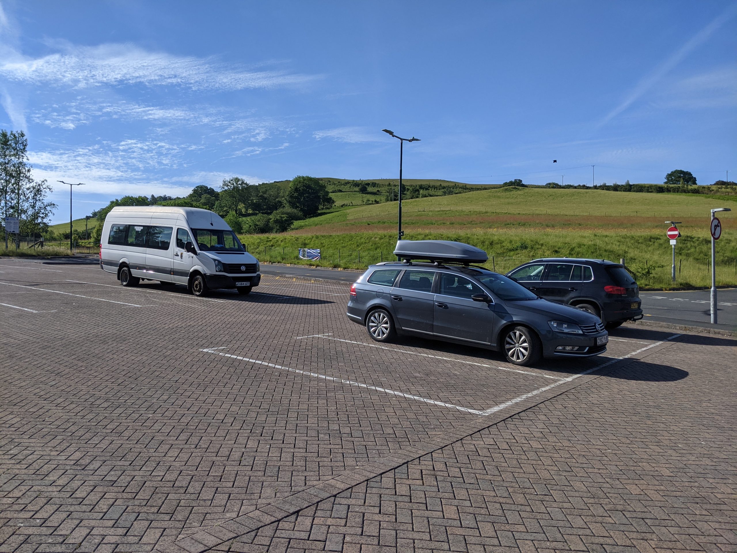
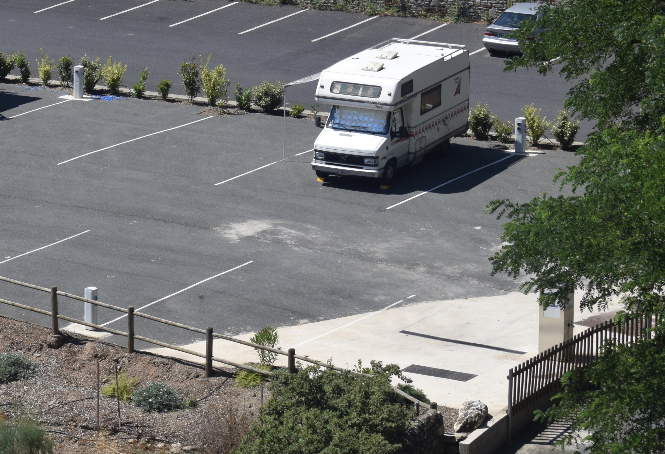
Project 4: Aire stop
Purpose: To improve the function of Tregaron car park for campervans, supporting the resilience of local hospitality businesses. Planting within the car park can be used to enhance the setting and biodiversity of the site.
Car parks in Tregaron
Potential partners: Tregaron Town Council, local community and businesses (including local cafes)
Description: Motorhome stopovers, known as “Aires” are mostly public parking areas where motorhome and campervan users may stop overnight for free or for a small fee. They are seen as symbolising the freedom of motor homing.
Formalising a space for the use of touring vans and campervans in Tregaron would encourage an increasing number of motorhome users in the local area to stay overnight in the town, use its facilities, and visit local businesses.
The Council-owned car park should be explored as a potential location. The site is set against a backdrop of green hills and benefits from well maintained public toilets. It also lies within 100 metres of local cafes, pubs and the Market Square.
Incorporating a green area into any hard surfacing (set within trees with picnic bench seating and bins) would create an attractive and biodiverse setting. EV charging points and 24-hour access to the public toilets would encourage visitors to properly use and steward the area.
Inspiration from elsewhere…
The Campaign for Real Aires (CAMpRA) has been formed for the creation of “Aires” in the UK. Their aim is to provide safe parking spaces for Motorhomes/Campervans in the UK to help boost the economy by increasing spending in local areas and encourage staycations. The idea is a popular concept in mainland Europe.
Craven District Council, Yorkshire, has established several “Aires” across its rural towns and villages. The Aires helped to support the visitor and evening economy of the areas. The initiative boosted Council income, helped to make the local area more secure and helped to address antisocial behaviour.
Case study image: Campaign for Real Aires UK (CAMpRA)
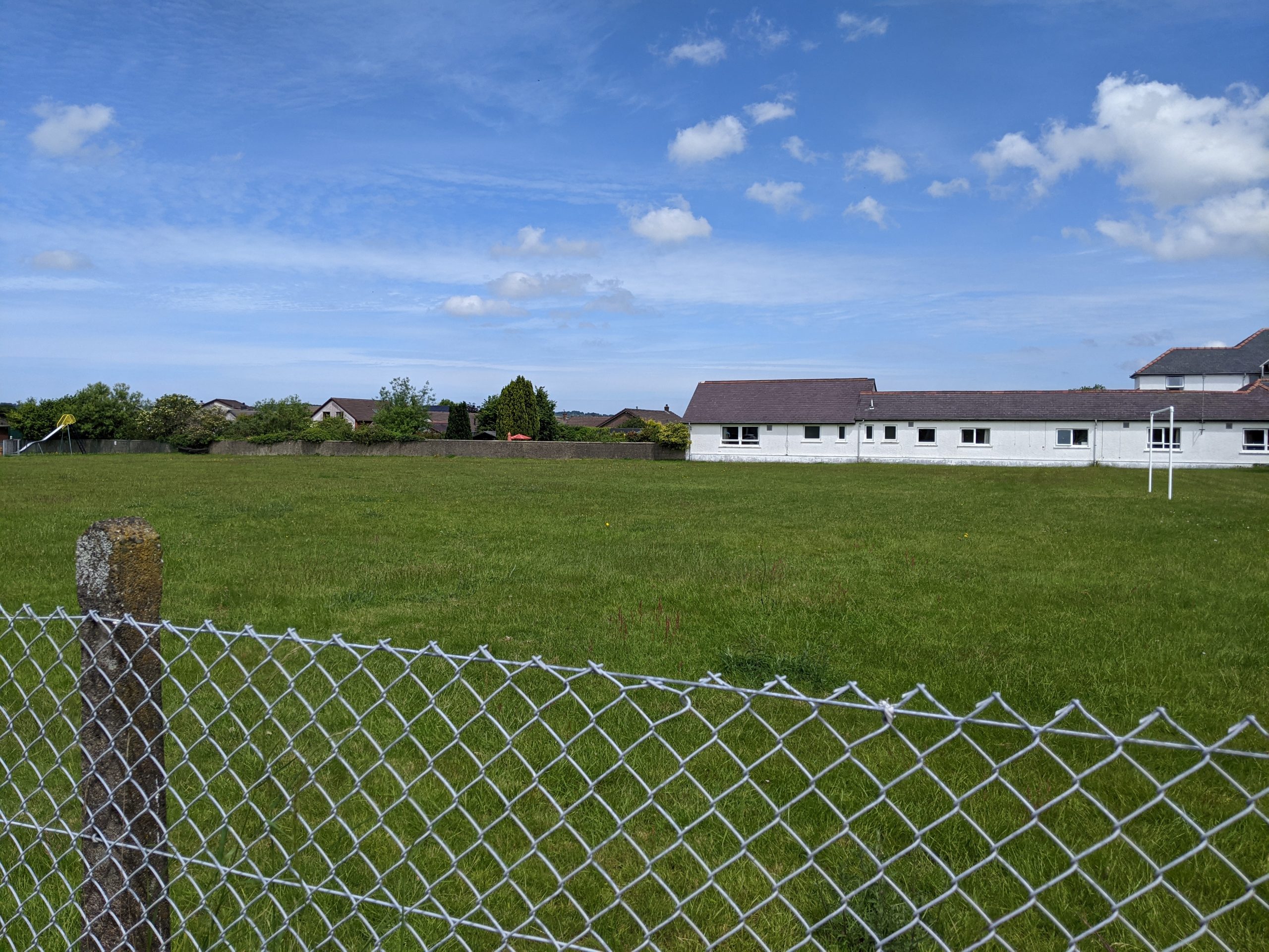
Project 5: Enhancements to Tregaron Play Area and Recreation Ground and a new community garden
Purpose: To encourage the multifunctional social uses of green spaces. This would bring benefits for health, wellbeing and ecological connectivity.
Play Park field in Tregaron
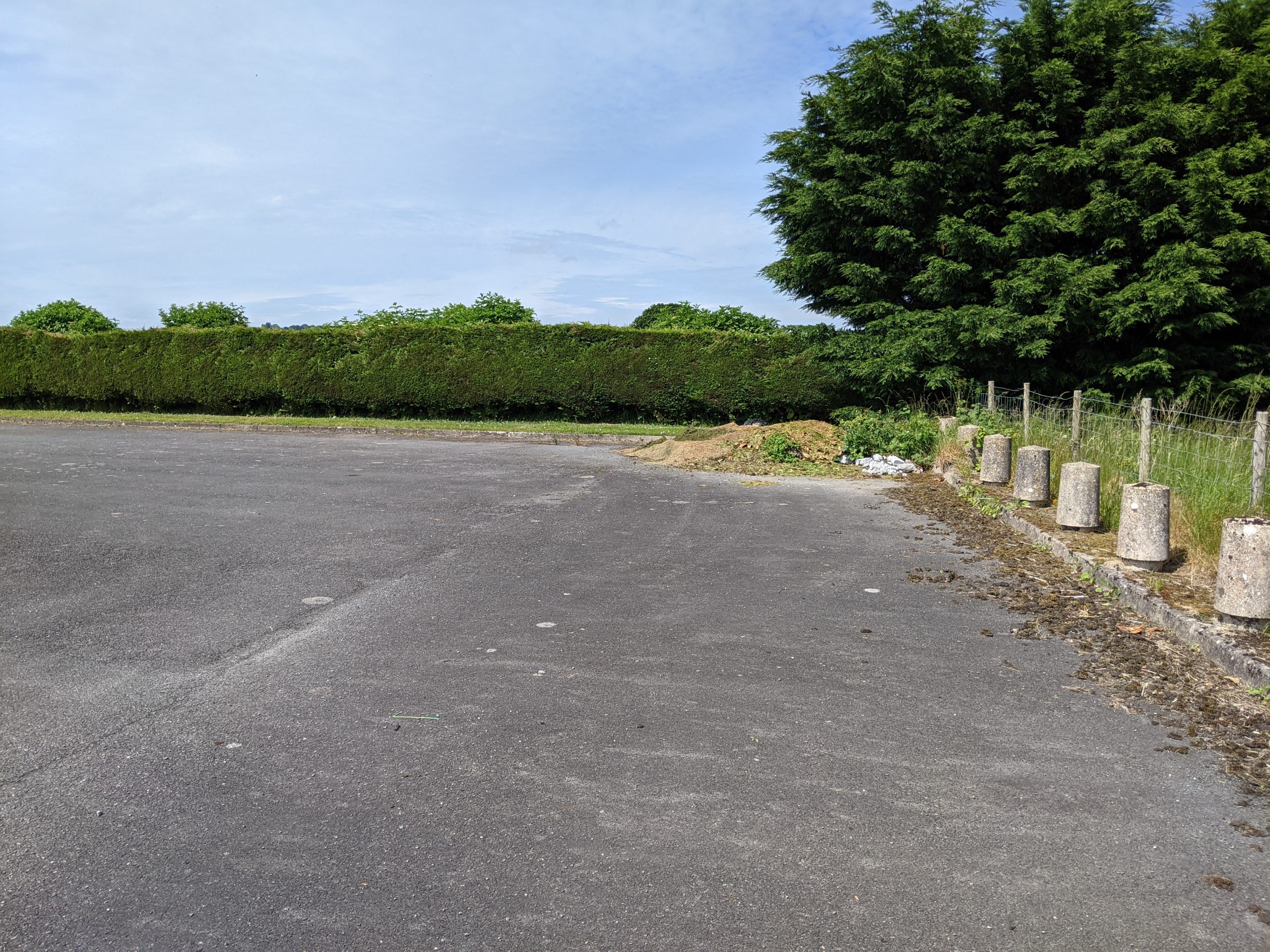
Old pitch and putt site
Potential partners: Tregaron Town council, Ceredigion County Council (current owners of both areas of land), local schools, community groups.
Description: Tregaron Play Area and Recreation Ground provides play space and sports grounds for the local community. There is a margin of space along the borders of the sports pitch which could be used to plant a wildlife-friendly border for pollinators and to create a wildlife corridor.
The sports pitch shares a boundary with Tregaron’s care home. By enhancing the sports pitch with planting, the space could simultaneously act as a wellbeing resource for residents. A sensory garden, or similar, could increase the use of this space by a wide range of people, potentially in partnership with local community groups.
Additional space for a community garden has been identified on the old “pitch and putt” site. A growing space in the heart of Tregaron’s community would provide an important social space and wellbeing resource while also boosting the biodiversity potential of the site, which is currently scrub land.
Inspiration from elsewhere…
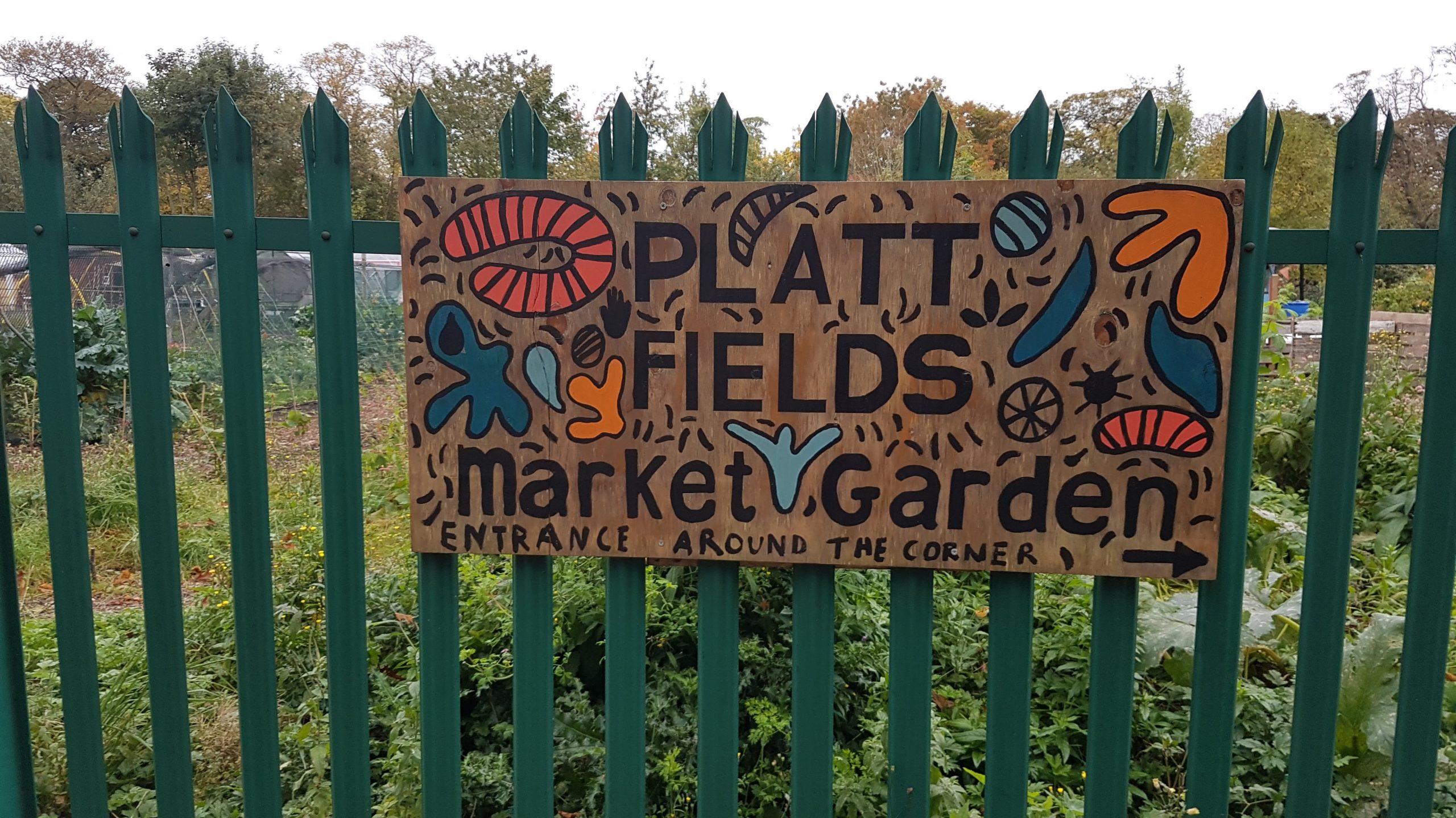
While operating at a larger scale than is possible at Tregaron’s available site, the Platt Fields Market Garden in Manchester provides a good example of the use of a disused Council-owned leisure asset (in this case a bowling green) for community growing.
The space is now managed by social enterprise Manchester Urban Diggers (MUD) and is a successful example of community-supported agriculture (CSA). The garden runs a vegetable box scheme, employs hundreds of volunteers and welcomes visitors to the site on Saturday morning when fresh produce is on sale.
Case study image: Platt Fields Market Garden, Manchester