Lampeter
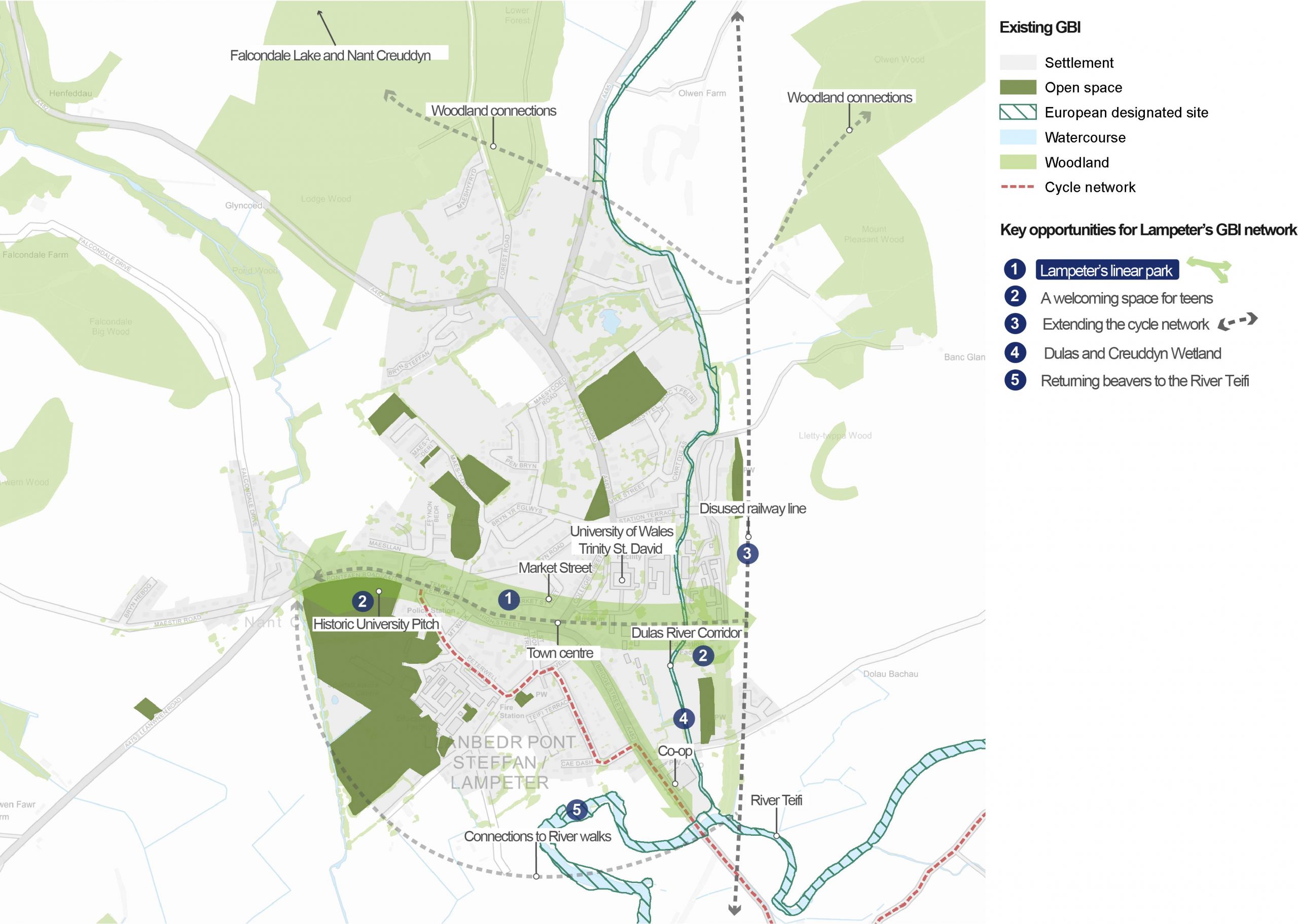
Overview of GBI opportunities in Lampeter
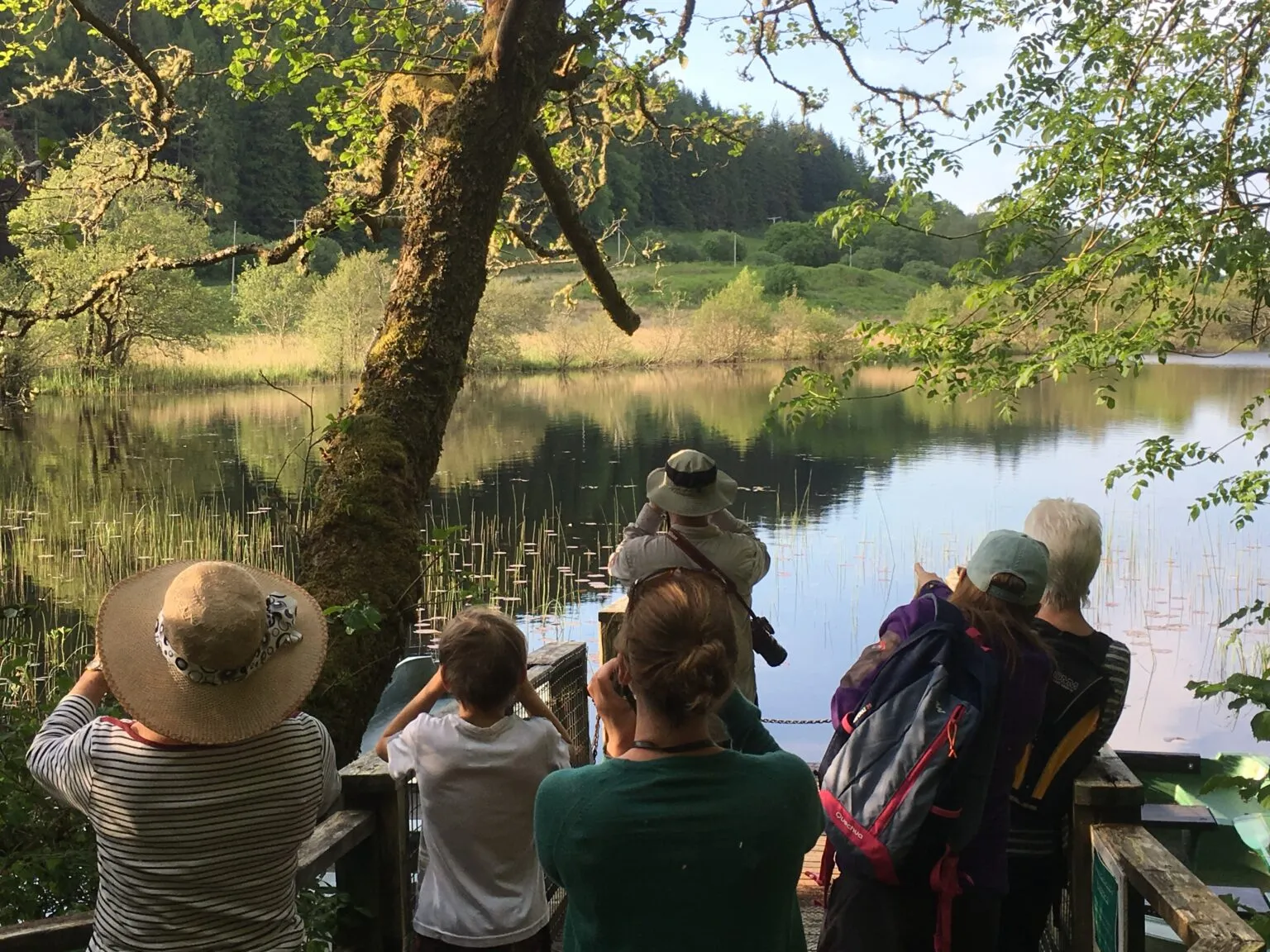
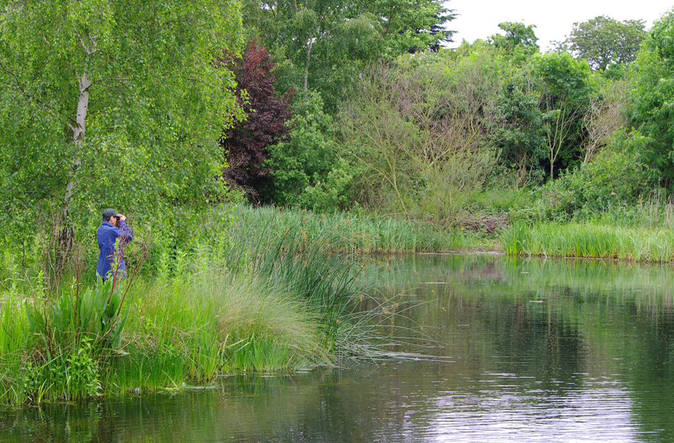
An overview of Lampeter
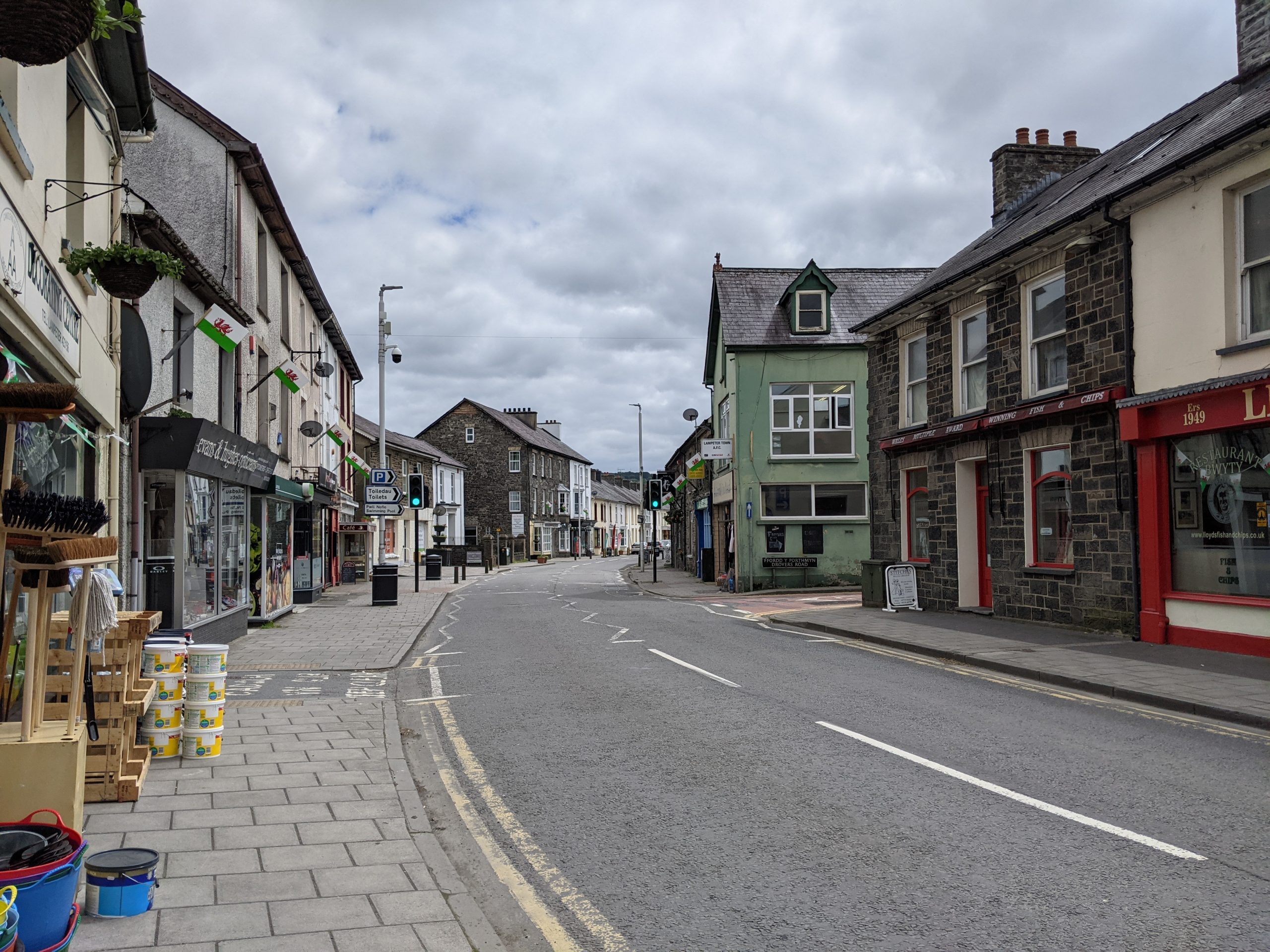
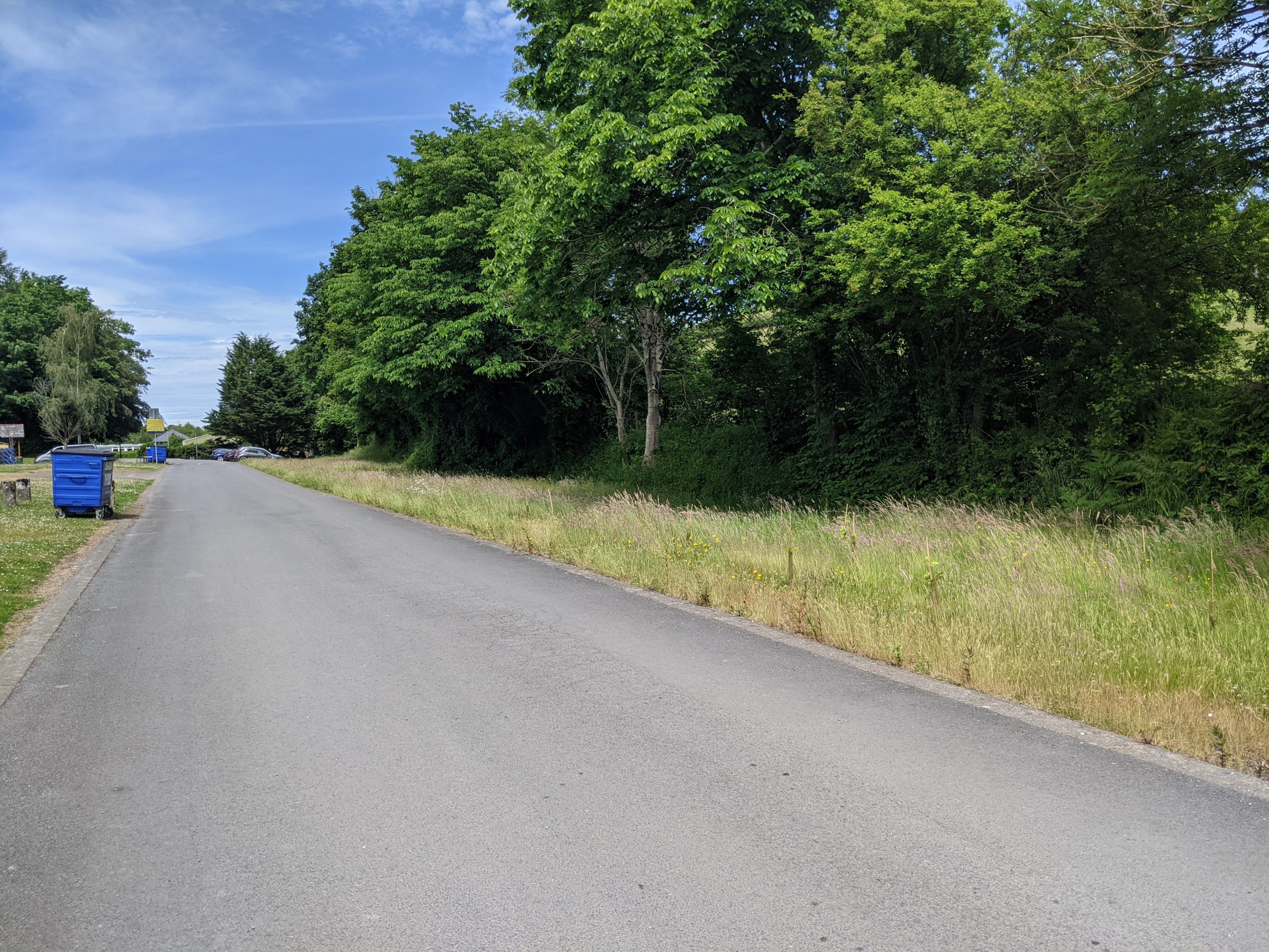
A street in central Lampeter
Lampeter lies in the middle reach of the Teifi valley. The Teifi is a key feature in the wider landscape, running through a patchwork landscape of agricultural fields, wet pastures, woodland blocks and willow carr.
The town occupies low lying ground on the northern bank of the Teifi. To the north and west, the hills provide a rural wooded backdrop. Two tributaries to the Teifi (Nant Creuddyn to the west and the Afon Dulas to the east) have carved valleys between these hills.
According to the 2011 census, the town has a population of around 3,000. It grew around the medieval Peter’s Church and Stephen’s Castle – giving it the Welsh name Llanbedr Pont Steffan. It was later granted a charter to hold a market and became an important rural centre on the drovers road and is associated with the Welsh Woollen trade.
St David’s College was founded in the 19th century and is now a university in its own right. This makes Lampeter the smallest university town in the UK. Today, the university is involved in the regeneration of Lampeter town by leading projects in the community that aim to build a more sustainable future for the town.
‘Blue assets’ make up much of the town’s GBI network. The Teifi and Dulas rivers are both part of the Afon Teifi SAC and SSSI designations. The rivers are home to a number of important fish species, otter and water vole.
The Dulas is also noted as an important spawning territory for salmon and Nant Creuddyn provides a link to Lake Falcondale in the north.
Active travel connections in the surrounding area include the Aberaeron to Lampeter promoted trail for walkers. The town is also on the route of Sustrans National Cycle Network Route 82, which provides a continuous cycle link to Llandysul and Cardigan in the south, and up to Tregaron and Aberystwyth in the north (however much of the route is on-road).
There are some blocks of ancient woodland surrounding the town, however, the presence of coniferous plantation limits the biodiversity value of some of the woodland.
Lampeter has been identified as part of the Teifi Valley Regional Growth Area in Future Wales: The National Plan 2040.
“When working on the Place Plan for Lampeter, it was difficult to highlight any one particular defining feature that the town could lean into as part of its identity and branding. There are many brilliant natural amenities in the area, but none so dominant that can be marketed as to benefit the town and surrounding area.”
– Stakeholder, online survey
See Appendix B for a summary of all stakeholder comments.
What are the key challenges facing Lampeter?
Condition of natural habitats: Currently less than 14% of the GBI assets in Lampeter meet the SINC (Sites of Importance for Nature Conservation) standard, many of these areas are associated with freshwater habitats. Tree cover in the town is primarily made up of amenity trees and the town has a low level of woodland cover. Much of the woodland around Lampeter is made up of coniferous plantations, with limited value for biodiversity and carbon storage. Better management of woodlands and river corridors for habitat value is a priority for Lampeter.
Local economy and public realm: There are a number of long-term empty properties along Lampeter’s high street. In order to reinvigorate the high street, Lampeter will need to be marketed in a way that draws in visitors and encourages locals and visitors to stay in the town centre. This might include introducing more public play spaces close to the town centre, improving active travel links between the town and the university campus, and reducing car dominance within the town centre.
Flood risk: The Teifi floodplain dominates the southern approach to the town. The river is associated with an area at high risk of flooding, which extends up the Dulas valley. Some of the university buildings are at high risk of flooding. The majority of the town remains outside of the floodplain, however, the most recent severe flood event in 2018 led to the town being cut off from the south. It also led to the flooding of the Co-op supermarket, associated car park and nearby business properties. Natural Flood Management (NFM) opportunities should be explored to ensure that any flood defences work in harmony with the natural assets of the town.
Water quality: The key challenge associated with water quality along the Teifi relates to its quality for fish. The river is assessed to be of moderate quality for fish due to human impact. The most recent assessment of river quality against phosphorous targets indicated that the river stretches at Lampeter performed well when compared with maximum target levels. However, the cumulative loading on the river means that by the time it reaches Llandysul it starts to exceed these targets.
Walking and cycling: Recreational routes are limited within Lampeter. This limits access to the town’s highly valued green and blue assets. Maintenance of existing routes has been highlighted as a challenge, where work is needed to ensure they are usable by a wide range of people for walking, cycling and wheeling in and around the town.
Sense of place: The rich cultural history of the town and its links to Welsh identity could be better supported through improvements to the GBI network. Lampeter is an important location along key routes through Wales. Promoting this could be linked to other promotion of wider recreational routes.
Flagship project: Lampeter’s Linear park
For more information on this project, see the dedicated Lampeter Linear Park flagship project page.
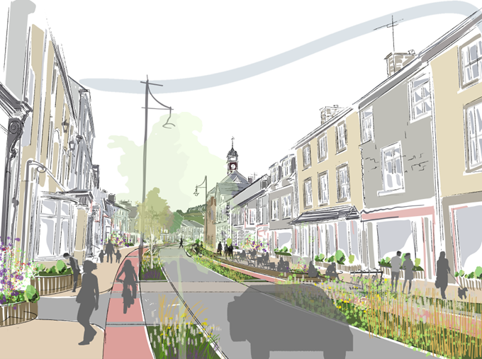
Purpose: To create a ‘linear park’ of green, people-friendly streets through Lampeter. The route would provide a key connection between the university grounds, local schools and green spaces.
Project 2: Co-designing a space for teens
Purpose: To create a green space where young adults can socialise, play and feel a sense of ownership over their public space.
Playing fields by Pontfaen Road
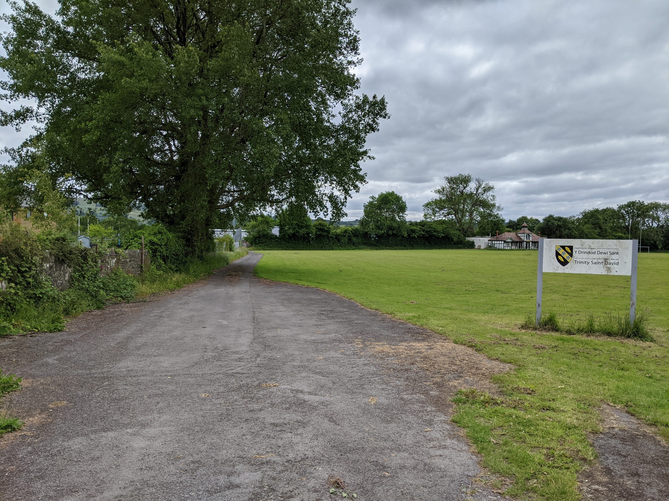
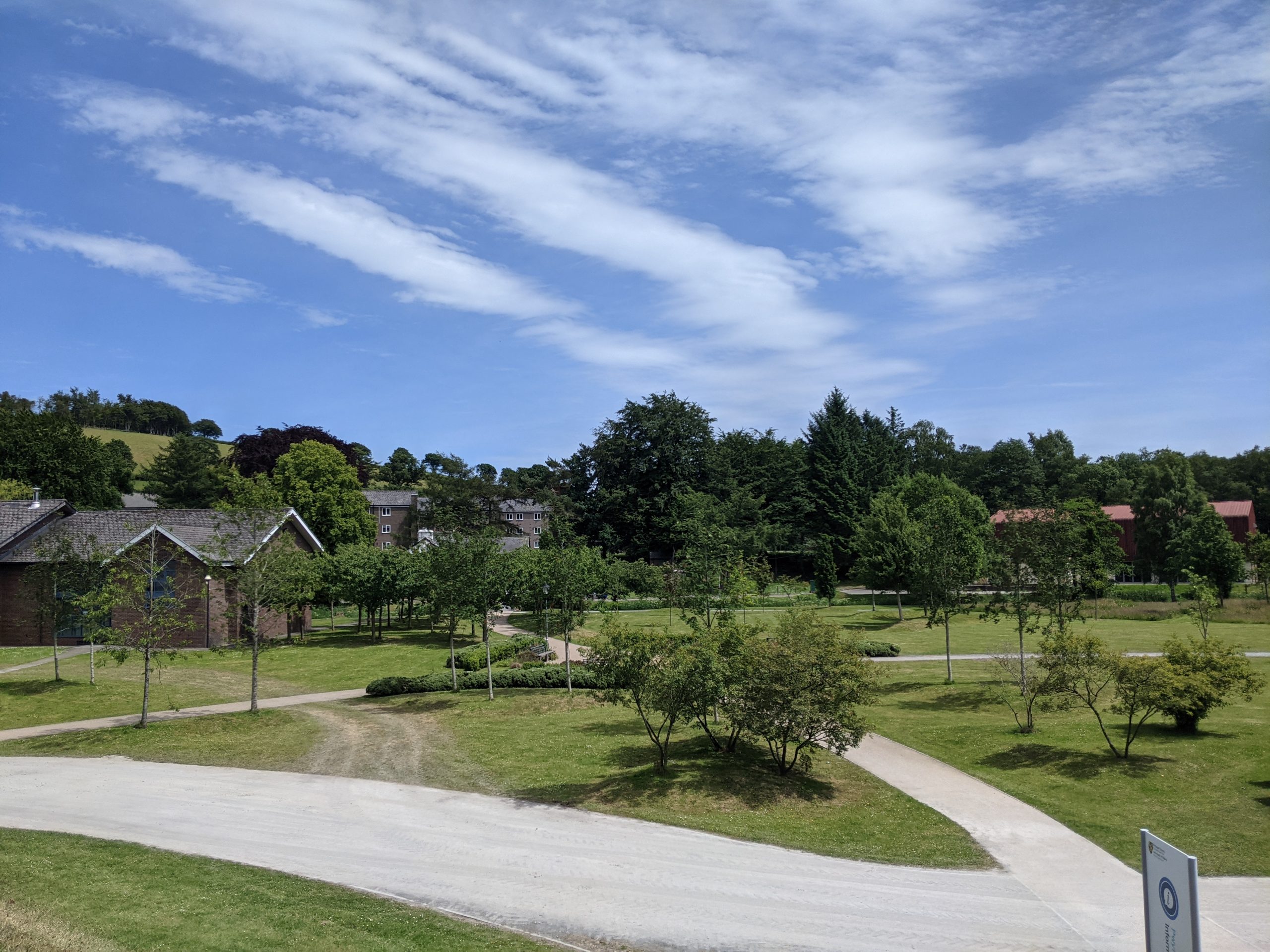
University grounds
Potential partners: Ceredigion County Council, Lampeter Town Council, local community of young people, local schools, Canolfan Tir Glas, University of Wales Trinity St. David.
Description: In order to overcome any perceived problems of ‘antisocial’ places, young people need green spaces where they can feel comfortable to socialise, play and enjoy a sense of ownership. A welcoming space for young people is an important wellbeing resource to combat rising mental health problems.
The key to success with these spaces is careful co-design to ensure a space reflects the needs of all users. This should start with asking local schools and community groups what they want to see in their local spaces. Stakeholders in Lampeter are already in early discussions about potential locations for a skate park. This idea could be expanded to create a multifunctional social space.
A welcoming space for teens can include a wide range of functions, activities and spaces. These spaces need not be overdesigned but should allow for a degree of ‘comfortable chaos’ so young people have a degree of flexibility in the space. Informal seating, hammocks, picnic tables and deck chairs are all potential features. Further options are walls for murals, graffiti and art, flexible spaces for fitness workouts and spaces which can be used for games, crafts, dance practice or music.
Natural features could be used to create quieter, more mindful areas. Seating should be included on the periphery of public space, where less confident teens can access public space.
Young people are becoming increasingly interested in gardening and engaging with the natural environment. As an illustration, the education team of Hull City of Culture worked with a group of 14 to 16-year-olds excluded from mainstream school to create a den structure to act as a hub for young people within one of the city’s allotments.
Further discussions with landowners will be needed to identify a site which can be accessed along safe pedestrian routes and where noise and amenity conflicts will be minimal. The university has expressed an initial interest in helping Lampeter town council identify a site for a skate park.
Inspiration from elsewhere…
Make Space for Girls campaigns for facilities and public spaces for teenage girls. Their research has found that facilities that are desired by teenage girls can include: better lighting, wider entrances to play areas, smaller subdivided sports areas, seating areas arranged in groups rather than lines, and circular paths around the perimeter of a park. However, their key recommendation is always to ask the girls what they want from the places in which they live.
The Shade project in Waltham Forest (London) transformed an empty piece of land within a local estate by working and speaking with 60 young people. The young people helped to map the area to identify what was important, before collaborating on designs and even helping to build the site. The site is now a revived space for everyone, with seating, planters, a stage and a table tennis table.
Case study image: The Shade Project (Build Up)
Project 3: Extending Lampeter’s cycle network
Purpose: Converting sections of disused railway to traffic-free cycle routes. This would better connect Lampeter town centre to nearby villages and the wider National Cycle Network. Creating and restoring additional habitat along cycle routes would also create a strategic green corridor for wildlife and pollinators.
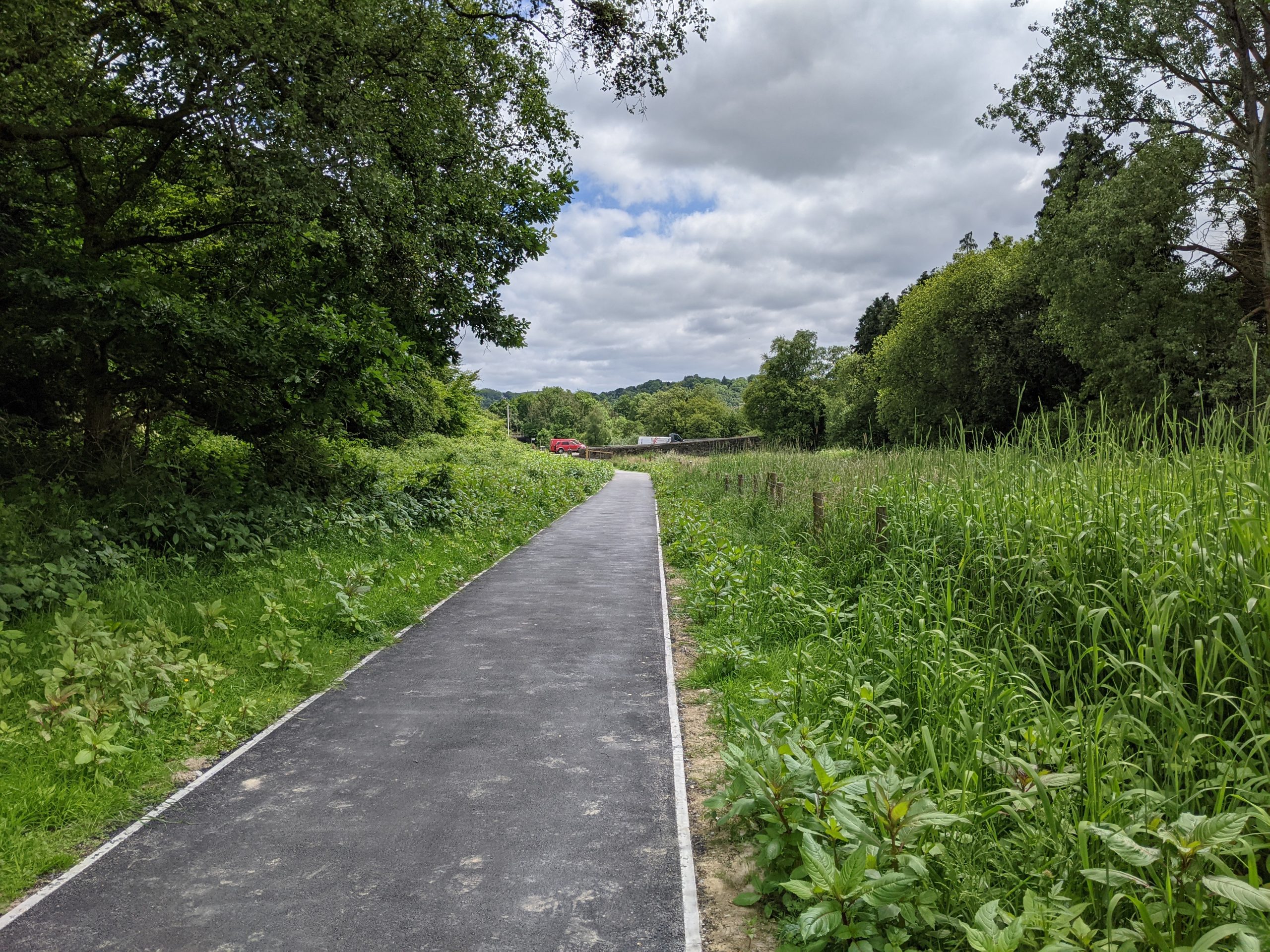
Dulas riverside path
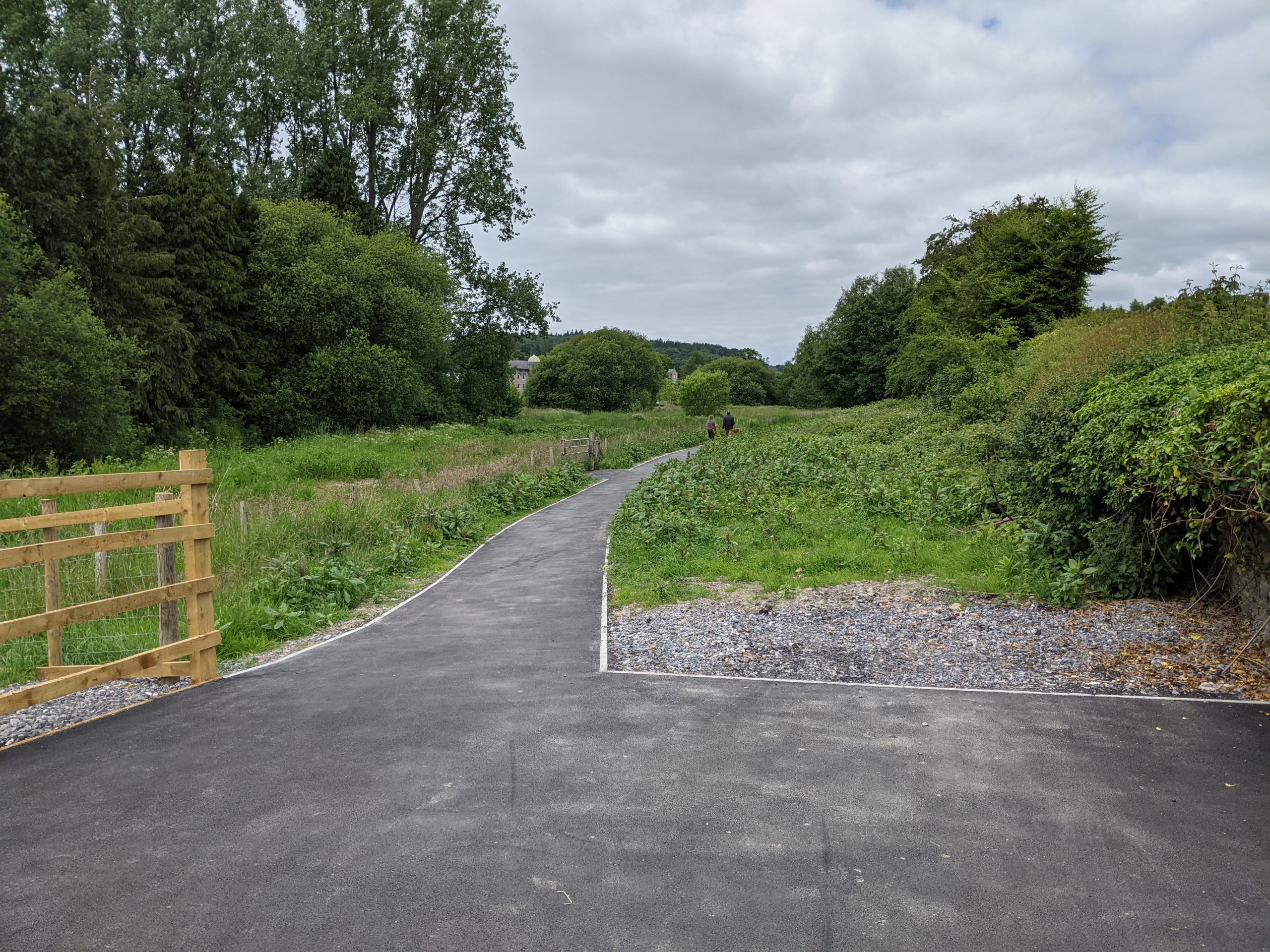
Lampeter's disused railway line borders the university grounds and neighbouring fields
Potential partners: Natural Resource Wales, Sustrans, Ceredigion Disability Centre, Walking for Wellbeing, Lampeter Town Council, Ceredigion County Council’s Active Travel Strategy for Welsh Government
Description: Converting Lampeter’s disused railway lines into traffic-free cycle routes could create an unbroken trail from Lampeter to the National Cycle Route 822. This in turn would link Lampeter to the coast in Aberaeron, as well as to the Ystwyth Trail to the north.
Both routes are being explored as part of Ceredigion County Council’s Active Travel Strategy for Welsh Government.
Creating traffic-free routes would benefit the wellbeing and safety of the local community, many of whom navigate narrow lanes by bike in order to access nearby towns and villages and to local beauty spots. Priority should be given to improving access along Lampeter’s existing riverside paths and to local green spaces and creating links outside of the town to destinations such as Falcondale Lake and Long Wood Forest.
The biodiversity value of these routes could be maximised by maintaining hedgerows and introducing wildflower planting along the borders of the trails – helping to support and connect wildlife and pollinators across Ceredigion.
Extending popular trails in Ceredigion to Lampeter would encourage more walkers and cyclists in the area to visit businesses in the town. The town could then be more successfully marketed as a base for exploring Ceredigion. This would expand the hospitality offer in the town. Improved (and consistent) wayfinding along the trails and into the town centre would provide further support. All ‘cycle routes’ should be appropriate trails for walking, cycling and wheeling (in a wheelchair or similar).
Walking and cycling through the town could be improved by reallocating space to walkers, cyclists and wheelers, with separated cycle paths and wider pavements on busy roads. Improved maintenance of ‘back routes’ through the town would also support this agenda.
Inspiration from elsewhere…
The Mawddach Trail is a scenic, nine-mile cycle path with excellent traffic-free hard surfaces that stretches from the historic town of Dolgellau in Snowdonia to the popular seaside town of Barmouth. The path is well used and runs along the old railway line.
Case study image: Mawddach trail (Discover North Wales)
Project 4: Dulas and Creuddyn wetlands
Purpose: To create wetland habitats to improve the health of the Nant Creuddyn and Afon Dulas corridors. Benefits would include greater biodiversity, improved water quality, reduction of flood risk in Lampeter, and the creation of access to the wetland as acommunity wellbeing resource.
The Dulas riverside path
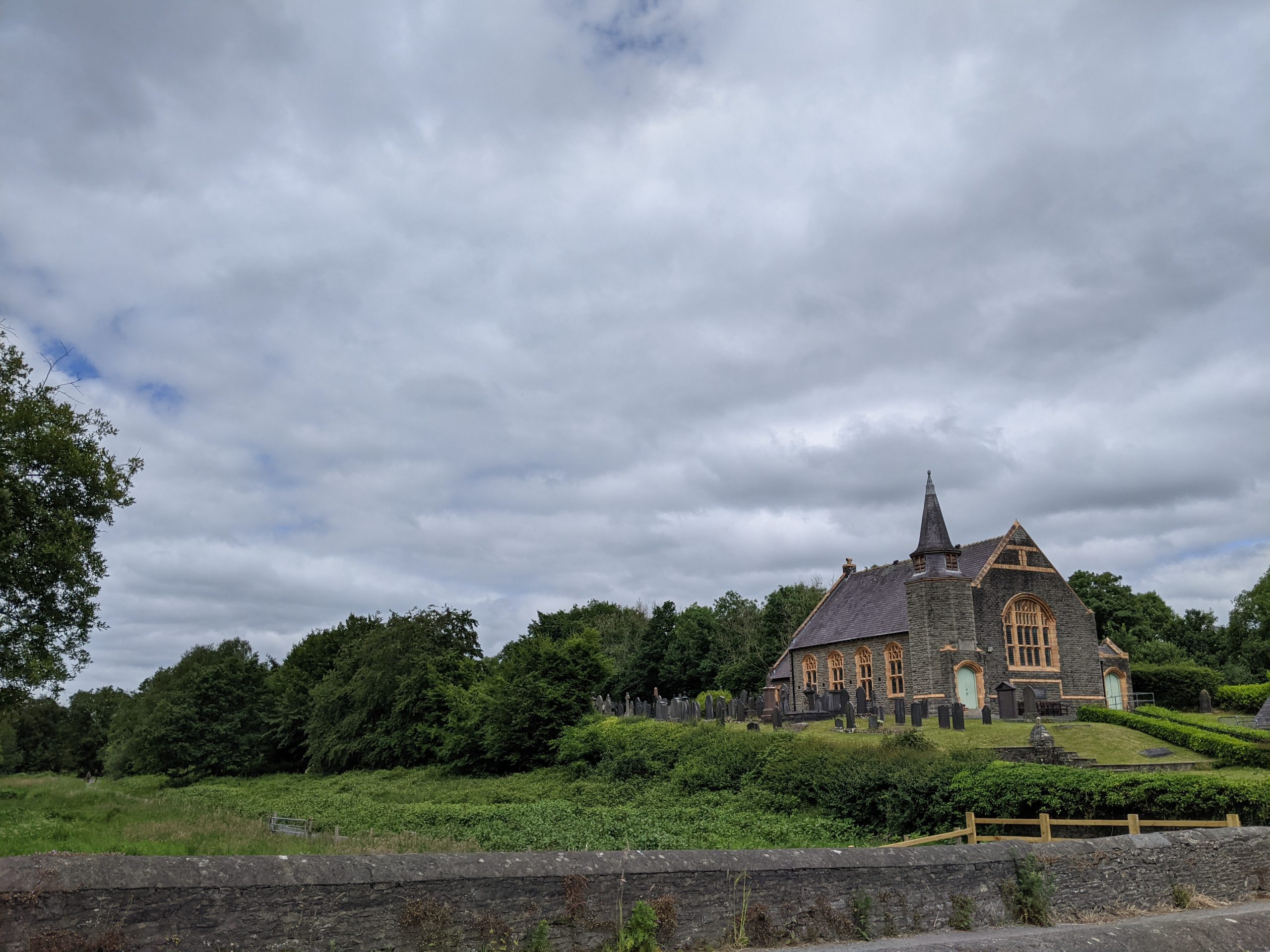
The Brondeifi Chapel
Potential partners: Natural Resource Wales, Welsh Water, Environmental Record Centre for West Wales, Walking for Wellbeing, Welsh Wildlife Centre, Lampeter Town Council , Wildfowl and Wetlands Trust, University of Wales Trinity St. David , local schools, Canolfan Tir Glas, Co-op, Wye and Usk Foundation.
Description: A site has been identified to the south of University of Wales Trinity St. David (north of Brondeifi Chapel) to create a wetland. The site is part of a natural floodplain upstream of the Afon Teifi, on the Dulas River corridor, and forms part of the university estate. Interest has already been expressed by stakeholders to explore educational uses, community uses and biodiversity enhancements on the site.
The university and town council recently joined efforts to formalise a new river path past this site, from the Co-op to the university grounds. Boardwalks connecting to the river path could be introduced to provide access to the wetland site and a well-being programme could be explored with the university and with local schools. Education boards could be developed in partnership with local nature groups to create a small nature trail through the wetland.
Formalising the floodplain into a wetland is one way to create a ‘biodiverse super system’. This is because wetlands can support such a large number and variety of species. Wetlands are created with “soft engineering” to create a series of ponds and flooded spaces that form an ecosystem for planting wetland shrubs, grasses and trees. They slow the flow of water, which naturally reduces surface water flood risk downstream of wetland sites.
Creating a wetland would also reduce the level of nutrients downstream of the Afon Teifi, including the level of phosphates. As water slowly flows through the wetland, naturally occurring processes absorb, transform, sequester, and remove phosphates, nitrates and other chemicals.
The area between the town’s sewage works and the Nant Creuddyn tributary may provide an opportunity to incorporate an additional area of wetlands. These could be used to further treat the effluent and remove nutrients. Aside from flood risk benefits, this could help contribute to an improvement in the health of the Teifi, both in the area of Lampeter and further downstream.
Immediately downstream from the site, the Co-op supermarket and car park was badly affected by flooding in 2018. As part of a wider scheme, there is further potential to retrofit the Co-op site to incorporate rain gardens, tree planting and other features to help absorb rainfall and minimise the runoff from surrounding hard surfaces.
Inspiration from elsewhere…
The Integrated Wetlands project in Herefordshire has been implemented to address the problem of nutrient (specifically phosphorous) loading on the River Lugg SAC – similar to those problems encountered along the Teifi.
The project includes the construction of a new system of wetland on land next to the Welsh Water sewage works at Luston. These wetlands receive water from the sewage works and provide additional treatment of the water before it is allowed to flow into the Lugg. This approach could be replicated on the land between the Creuddyn and Lampeter’s sewage works, providing multiple GBI benefits.
The ‘SuDS for Schools’ program, run by the Wildfowl & Wetlands Trust, introduced mini wetlands in ten schools in a North London catchment found to be at risk from surface water flooding. They also became places where students could play and learn outdoors. As a result, the schools became hubs for reconnecting the local people with their river. A similar programme could be led by local schools in Lampeter as part of a large-scale wetland project, focussing on reconnecting young people with the Afon Dulas.
Case study image: An urban wetland (the Wildfowl and Wetlands Trust)
Case study image: Children at Hollickwood Primary School gardening at a "SuDS for schools" project
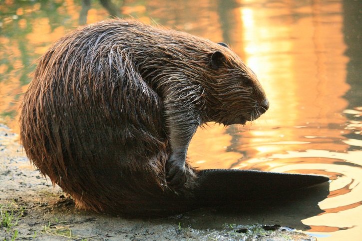
Project 5 – Returning beavers to the Afon Teifi
Purpose: To build on efforts to bring back the once locally extinct beaver to Wales, helping to create diverse wetland habitats through their function as natural ecosystem engineers.
The River Teifi (by the Co-op)
Potential partners: Natural Resource Wales, Welsh Water, the Wildlife Trusts (through the Welsh Beaver Project).
Description: Beavers are themselves a nature-based solution. By gnawing down trees and building dams, beavers open up the woodland around them, allowing pioneering, light-hungry plants to grow. Beaver dams reduce the waterflow of rivers and streams and flood the local area, creating the basic requirements for complex wetland habitats to form.
For this reason, beavers are known as a ‘keystone species’. Their activities benefit a wide range of other animals and plants. Other direct benefits of beaver populations include:
- The cleaning and filtering of pollutants out of the water.
- Storing extra freshwater in newly created wetlands.
- Storing carbon within settling organic sediment.
- Creating a network of slower moving rivers and standing water that acts as a flood defence.
The beavers of the Afon Teifi in Wales were discussed by the scholar Gerald of Wales in the late twelfth century. Today, there are plans to reintroduce the Eurasian Beaver to Wales for the first time in 800 years.
Feasibility studies have found that the entire main course of the Teifi (from Cors Caron downstream) is suitable as beaver habitat. Returning beavers to the Teifi would not only provide the residents of Lampeter an opportunity to spot and enjoy one of Britain’s rarest and most charismatic mammals. It would also serve as an economic asset to boost the prospects of wildlife tourism in the local area.
Further studies are required to examine the practicalities of reintroducing beavers to the Teifi. To support a license application to Natural Resources Wales, more detailed proposals are required on translocation and release. These should consider: a suitable receptor site, the size of release population, donor stock, safe release, long-term monitoring and ongoing funding.
This process should be supported by close engagement with the local community. The existing Beaver Management Network could be used to help manage the beavers and address any issues arising from conflicts with human activities.
Inspiration from elsewhere…
In 2021 a family of three beavers were reintroduced to Montgomeryshire Wildlife Trust’s Cors Dyfi Nature Reserve. The donor population were sourced from Scotland under a license from NatureScot. This five-year pilot project is part of the Dyfi Catchment Natural Restoration Project, which aims to restore the natural environment of the river and improve water management. Although not a full reintroduction into the wild, having beavers at a visitor hub like Cors Dyfi is helping to raise awareness about beaver behaviour and how beavers can actively support ecosystem restoration.
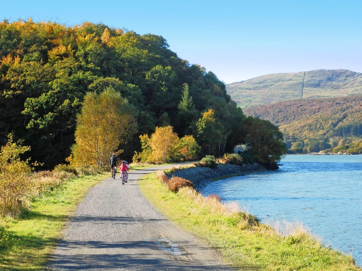
Between 2009 and 2010, 16 beavers were released into Knapdale Forest as part of the Scottish Beavers Trail, the first licensed reintroduction of a mammal to the UK. In 2017 a Reinforcement Project helped the original population become more genetically diverse. Bringing back beavers to mid-Argyll has boosted local biodiversity and local business through tourism opportunities. The Knapdale population is a clear illustration that in the right location and with the right permissions and consultation in place, beavers can flourish without creating human conflict.
Case study image: A beaver yearling Grooming Alhambra Creek (Forestry and Land Scotland)
Case study image: Spotting a beaver at Barnluasgan Heart of Argyll Wildlife (Scottish Wildlife Trust)