Principle 4: Strengthening resilience to climate change
How can GBI help to make us more resilient to climate change?
GBI plays a dual role in relation to climate change.
Firstly, the provision of greenways and spaces which encourage walking and cycling over car use can reduce carbon emissions.
Secondly, GBI can play a key role in mitigating and adapting to the pressures of climate change. Habitats of various types can be used to “sequester” carbon – that is, draw excess carbon in from the atmosphere.
Certain kinds of habitat can also act as natural defences against risks associated with climate change – notably flood risk and high temperatures.
What does national and regional policy say?
Addressing climate change impacts and decarbonisation are crucial to achieving the objectives of the Environment (Wales) Act (2016) and the Well-being of Future Generations (Wales) Act 2015.
The Environment (Wales) Act 2016 requires the achievement of an overall 80% reduction in greenhouse gas emissions by 2050. The Well-being of Future Generations (Wales) Act 2015 sets seven Well-being Goals which provide a shared vision for Wales to work towards, that include the development of a low carbon economy.
‘Future Wales’ The National Plan 2040 sets the direction for future development in Wales. Policy 8 (Flooding) promotes nature-based solutions to flooding as a preference over engineered solutions wherever possible – highlighting the role of the GBI network.
Resilience to climate change is included as one of the National Placemaking Outcomes as part of Planning Policy Wales. It highlights the key role of the planning system in tackling the climate emergency – including protecting ‘carbon sinks’ and using open spaces to adapt to impacts.
In relation to flood risk in particular, in 2019 the Flood and Water Management Act (2010) came into effect. Schedule 3 requires all new developments over 100 square metres to include SuDS features that meet requirements in terms of water quantity, quality, amenity and biodiversity. The National Strategy for Flood and Coastal Erosion Risk Management in Wales (2020) sets out how these risks should be managed more widely and who is responsible. In 2021, the Welsh Government built on this legislative base and began requiring that climate change is a factor in assessing future plans for development. This reflects the fact that flood risk and coastal erosion in Wales is increasing as a result of climate change.
Technical Advice Note (TAN) 15 relates to development and flood risk and covers advice on using development plans and development control to mitigate flood risk.
The increasingly prominent role of SABs (the SuDS approving bodies) in Wales indicates the degree to which flood resilience has risen towards the top of the policy agenda in Wales.
What does local policy say?
In March 2020, Ceredigion County Council declared a climate emergency and made a commitment to become a net zero carbon local authority by 2030.
The Council followed this up in 2021 with a Net Zero Carbon Action Plan – which provides a framework for taking action, securing further funding and lobbying Welsh and national government to provide the necessary support and resources.
The Action Plan identifies several actions for future green infrastructure including:
- Development and implementation of a Tree Strategy.
- Exploring the feasibility of tree planting and similar measures, along with identification of land for planting.
- The development of a Green Travel Plan.
In 2020, the Council assessed Ceredigion’s existing green infrastructure. The assessment identified the following objectives related to climate change:
- To increase the provision of woodlands and restoration/expansion of peat bogs.
- To reduce the impacts of flooding – particularly in the target areas of Beulah, the River Leri at Talybont, the River Aeron above Tal-sarn, and Cwm Slaid.
The Mid Wales Area Statement identifies the challenge of mitigating and adapting to a changing climate as one of the biggest issues “of our time”, and one that requires immediate, effective action.
In particular, it highlights that coastal areas are facing an ever-increasing threat from rising sea levels and flooding in low-lying areas, as well as hotter and drier summers and low groundwater levels. This could lead to significant and irreversible effects on the environment. It also places emphasis on building a greater local understanding of climate change.
Ceredigion’s Shoreline Management Plan (SMP) provides a large-scale assessment of the risks associated with coastal processes and presents a policy framework to reduce these risks in a sustainable manner into the 22nd century.
In terms of carbon storage, the Area Statement seeks opportunities for carbon capture and storage through mixed-product, well managed woodlands. It seeks to protect existing woodland habitats that are already storing significant carbon.
Finally, Policy DM11 (Designing for Climate Change) of Ceredigion’s existing Local Development Plan requires any new development to provide evidence of resilience. Development in the flood zone must be justified in light of resilience and adaptability to the effects of flooding. The long-term sustainability of all development must be considered during decision making.
What are the challenges and pressures this GBI strategy needs to address?
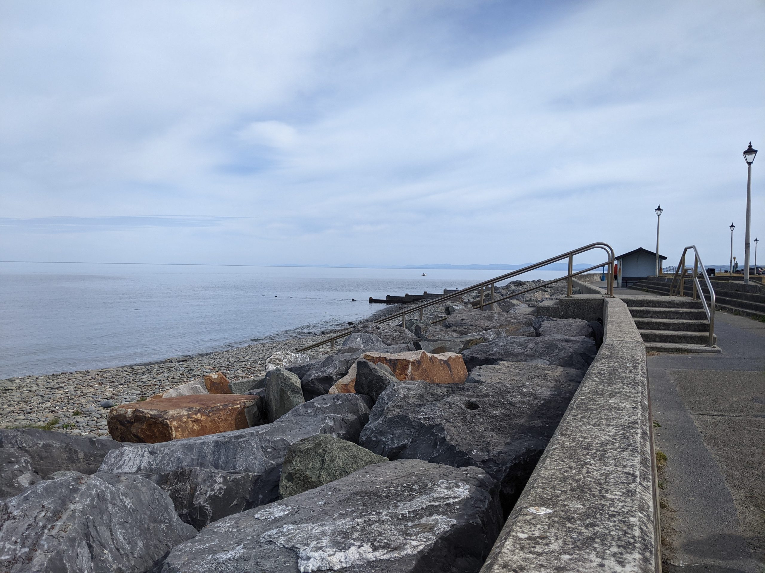
Image: Woodland area outside Aberystwyth

“Flooding is very important – very close to river and when there is heavy rainfall, people get nervous. There does not currently seem to be a lot of work going on”
– Stakeholder comment (workshop)
The inevitable effects of climate change are likely to bring a range of implications for Ceredigion. Prominent among these is flood risk – a key concern of stakeholders. Increased risk of flooding will be a major impact of climate change – this includes risks from rivers, the sea, urban surface water run-off and inadequate land drainage, and run-off from fields
The Ceredigion Wellbeing Assessment highlights that a number of communities are at risk of flooding In Ceredigion. The total estimate of properties at risk of flooding (2019) was 4,697. This amounts to around 15% of all properties in Ceredigion.
Flood risk is likely to come from a range of sources. Of this 15%, approximately:
- 45% are at risk of surface flooding
- 37% of these properties are at risk of River flooding
- 15% of these properties are at risk of tidal flooding.
Particular risk of surface water flooding is found in the towns of Lampeter and the east of Tregaron.
This flood risk highlights the need to adapt to climate change by working with the water cycle rather than against it in Ceredigion. While climate-related impacts are inevitable, the GBI network can be used to significantly mitigate flooding issues – using sustainable urban drainage systems (SUDS) and addressing surface-water pressures on the sewer network.
This will require us to view catchments as a whole system. With this in mind, we can use GBI to drive improvements within and around settlements to decrease flood risk and increase flood resilience (in line with TAN 15).
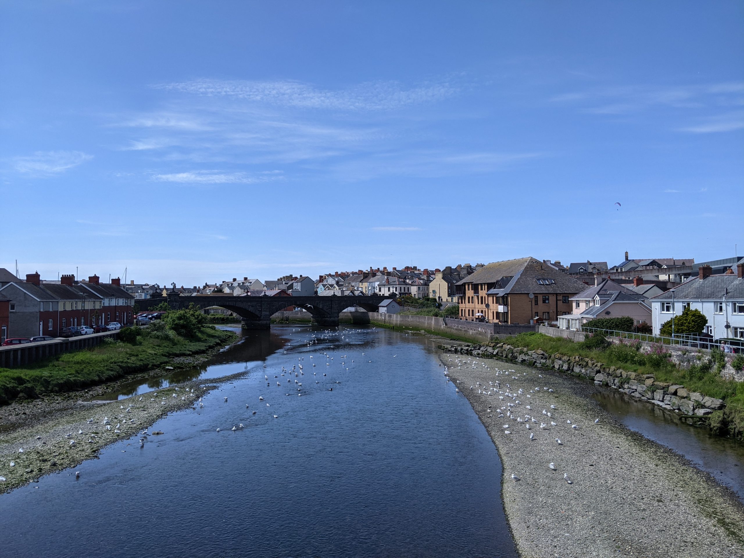
Image: River flowing through the centre of Aberystwyth.
Climate change also poses a risk to water resource management. Ceredigion’s climate is typically wet. As a result, historically there has been little emphasis on spare water storage capacity. This is likely to leave less resilience in water supply infrastructure for periods of severe drought when they occur.
This could lead to disastrous consequences for aquatic wildlife, including endangered fish such as salmon.
Biodiversity and the health of Ceredigion’s ecosystems are already significantly impacted by climate change and likely to become more so (see Principle 1). This further highlights the importance of improving habitat connectivity in order to boost resilience to change.
Finally, Ceredigion’s existing habitats offer an important opportunity to combat climate change through carbon sequestration, among other functions. In particular, the County’s peatland bogs (including the blanket bog habitat at Cors Caron) provide a carbon sink of national importance. They will also aid water purification and flood control.
Summary of key issues
- Significant risk of flooding across the County – most notably surface water flooding, followed by river flooding and tidal flooding.
- The need to work with the water cycle rather than against it in combatting flooding, using GBI to drive improvements which increase flood resilience and help the County to adapt to the inevitable impacts of climate change.
- Climate change also poses a threat to water resource management, given projections of increased drought.
- The need to increase habitat connectivity to help ecosystems and wildlife adapt to changes in the climate.
- The importance of Ceredigion’s habitats (particularly peatland bogs) as “carbon sinks” for climate change mitigation.