Aberteifi (Cardigan)
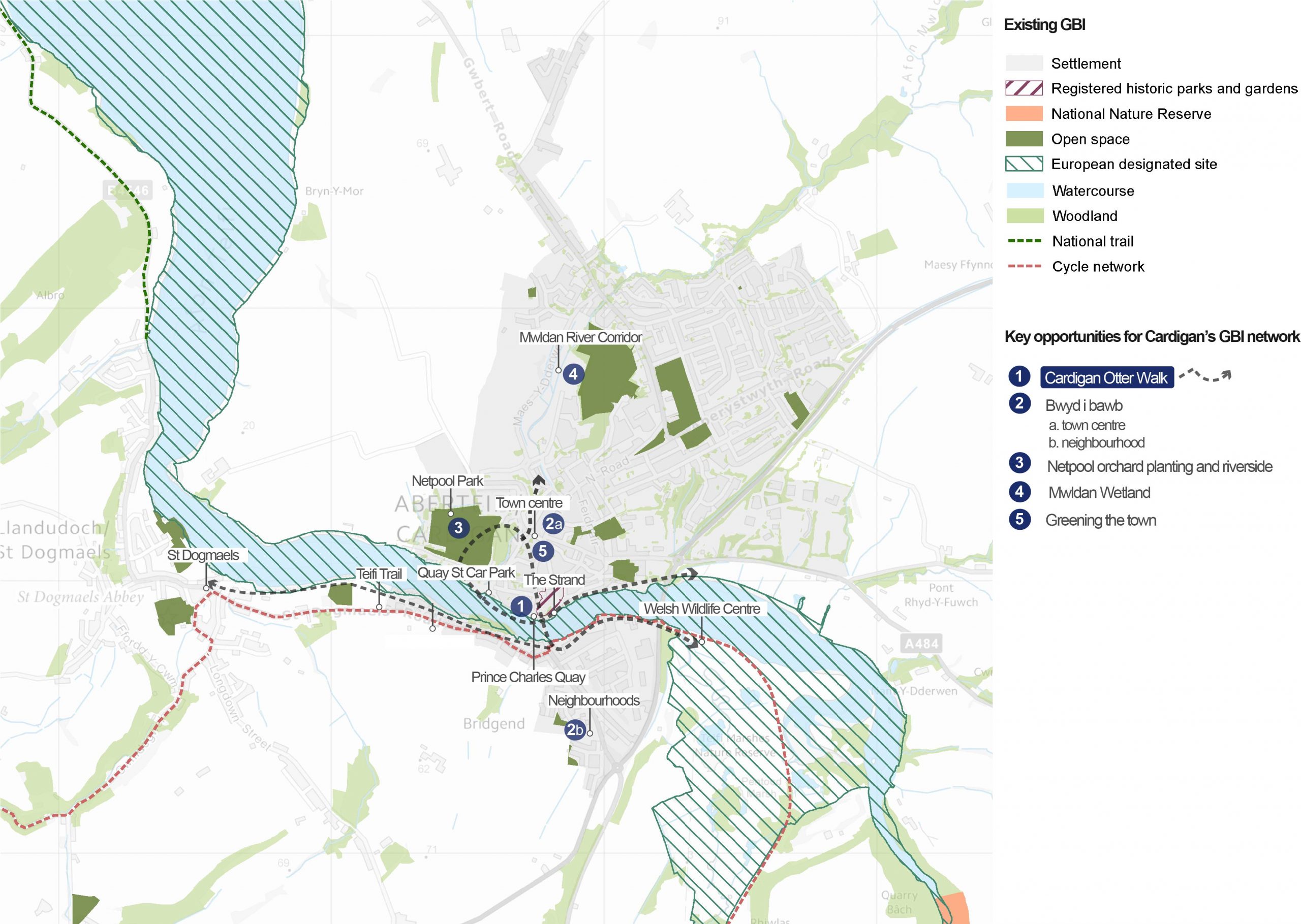
Overview of key opportunities for Aberteifi’s GBI network
An overview of Aberteifi
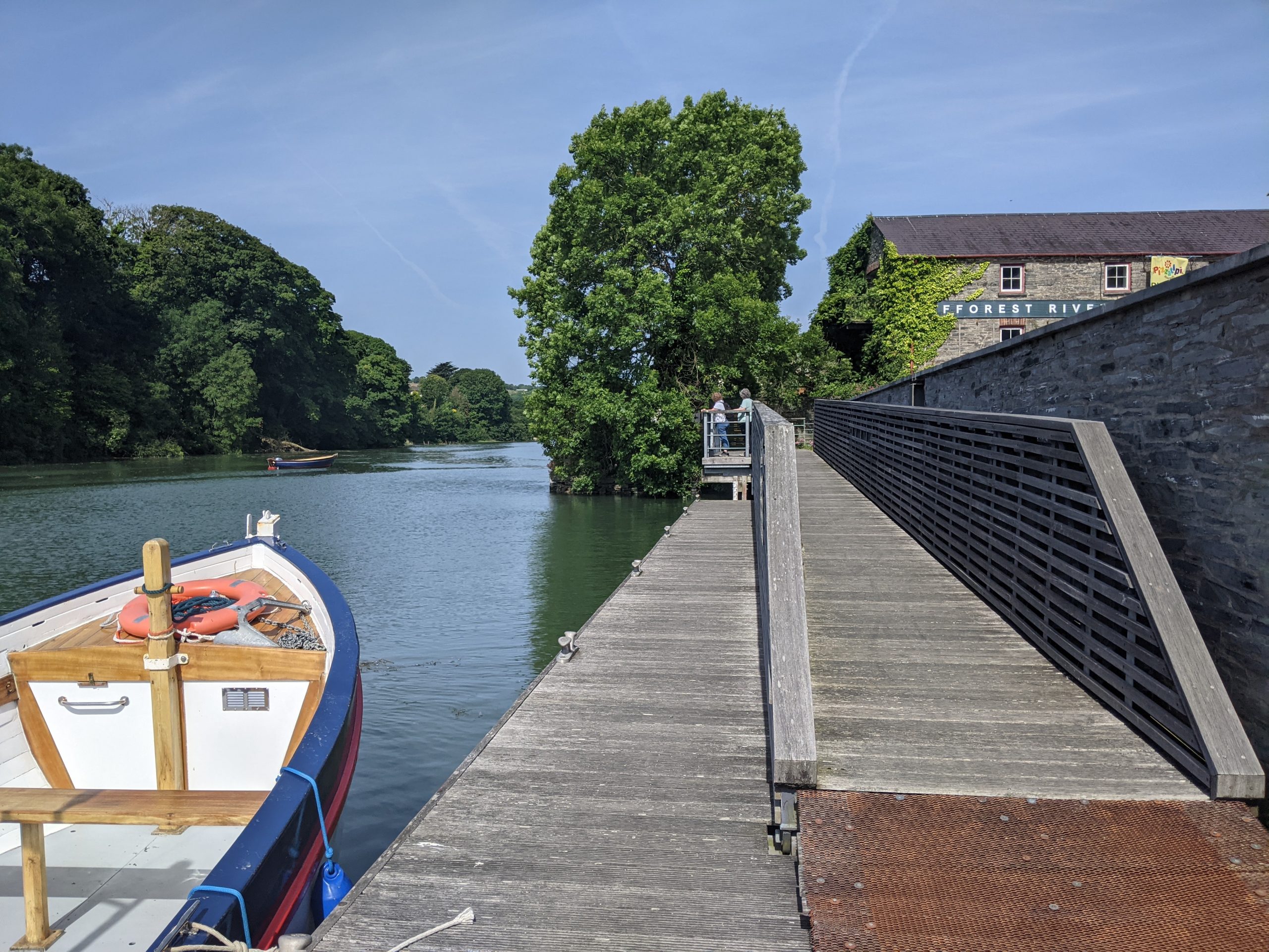
Prince Charles Quay overlooking the Teifi
Aberteifi (Cardigan) sits on the northern bank of the Afon Teifi estuary and acts as a gateway to the wider Teifi Valley. The town gets its name ‘Aberteifi’ from its location at the mouth (aber) of the Teifi.
The river emerges from incised wooded valleys to the east and opens out to the sea in the west, between rocky headlands. Undulating hills enclose the settlement, creating an intimate setting.
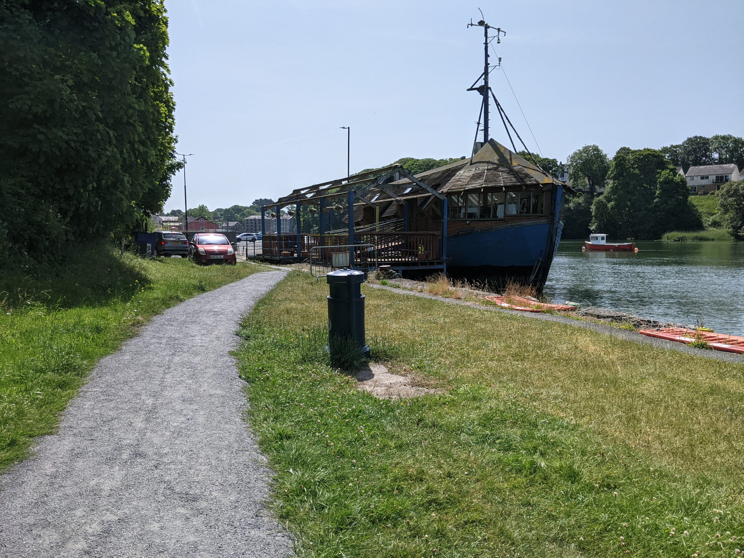
Aberteifi’s maritime location has had an important influence on its development. The settlement originally grew around a Norman castle, which was built to defend the river passage. By the 17th Century, Aberteifi was recognised as one of the most important ports in Britain. Today, it is the second largest town in Ceredigion with a population of just over 4,000.
The town’s “blue assets” have shaped biodiverse habitats in the surrounding countryside. These include locally important estuarine and floodplain marshes.
Active travel routes provide connectivity into the wider landscape. These include coastal paths towards Aberteifi Bay and a disused railway to the Cilgerran Welsh Wildlife Centre and Teifi Marshes. Aberteifi’s location near the coast also makes the town a key destination for tourists.
Future Wales: The National Plan 2040 identifies Aberteifi as being within the Teifi Valley Regional Growth Area.
“Cardigan is a beautiful market town steeped in history.”
– Stakeholder, online survey
“There are some wonderful spaces in Cardigan that could be developed into community orchards and planting spaces to give people the opportunity to grow food, pick food, for free. I would like the flower tubs and baskets to be full of edible plants and berries for people to be able to pick.”
– Stakeholder, online survey
See Appendix B for a summary of all stakeholder comments on Aberteifi.
What are the key challenges facing Aberteifi?
Flood risk: Some areas of the town adjacent to the Teifi are at high risk of flooding from rivers and the sea. Surface water flooding is also a problem in some areas (including the area around Morgan Street). A key challenge is how to improve flood defences without detracting from the quality of public space along the Strand. The rivers and coast should be nurtured as an attractive, accessible asset rather than viewed as a threat.
Wellbeing and deprivation: Aberteifi is home to some of the most deprived areas in Ceredigion. Two of the town’s three wards sit within the 10 to 20% most deprived wards in the County, according to the Welsh Index of Multiple Deprivation (see interactive map). The provision of green space within the town is concentrated north of the Afon Teifi. The Teifi Ward, South of the Afon Teifi, has both the poorest access to greenspace and the highest levels of socio-economic deprivation. Creating equal access to green space must be a priority. This should also focus on providing better connectivity between existing green spaces.
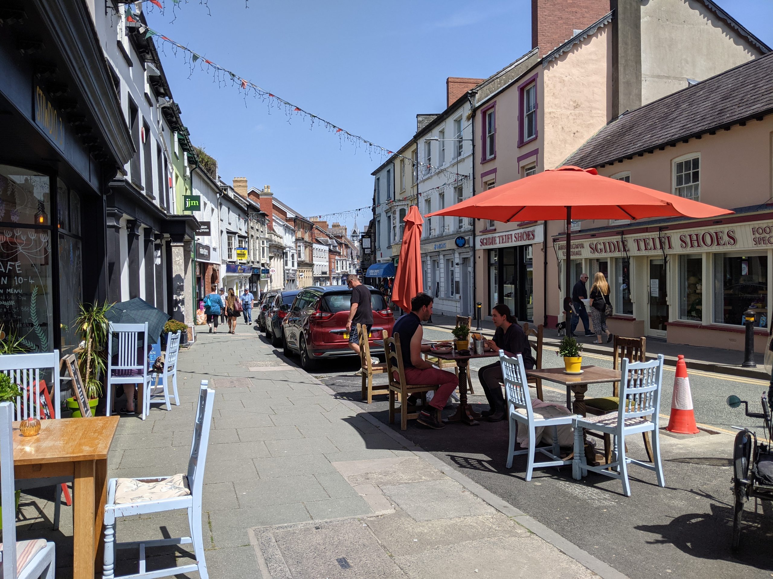
Walking and cycling: Aberteifi benefits from good connections on the edges of the town to the Teifi Trail and the Wales Coast Path. However, Aberteifi’s town centre green spaces and riverfront are poorly connected by walking trails, and there are poor connections to nearby towns such as St. Dogmaels. As a result, daily travel through the town is dominated by cars. There is a need to make walking and cycling more accessible and attractive in Aberteifi. However, the promotion of active travel routes needs to be balanced with the need to keep the High Street accessible for appropriate vehicles and public transport.
Tree cover: There is a reasonable level of tree cover throughout the settlement. However, this is primarily found in lower density residential areas, commercial areas and informal open spaces. The town centre and areas on the edge of town have limited tree cover. The town’s Mwldan Ward, for example, currently has only 2% woodland cover and was ranked by NRW as one of the lowest levels of tree cover in Ceredigion. Tree cover and woodland connectivity needs to be extended to join up the green network.
Air quality: While not severe when set against national standards, Aberteifi has the poorest air quality of the main settlements in Ceredigion. Ceredigion’s GI Assessment identifies that the background PM10 levels are over 10. 5µg/m2 – as a result of both combustion engine cars and industry. GBI can play a role in mitigating this air quality, through planting, increasing tree cover and the promotion of walking and cycling.
Flagship project: The Aberteifi Otter Walk
For more information on this project, see the dedicated Cardigan Otter Walk flagship project page.
Purpose: To improve Aberteifi’s connection with the Afon Teifi, to increase the biodiversity and quality of greenspace along the riverfront and to encourage walking to local green spaces.
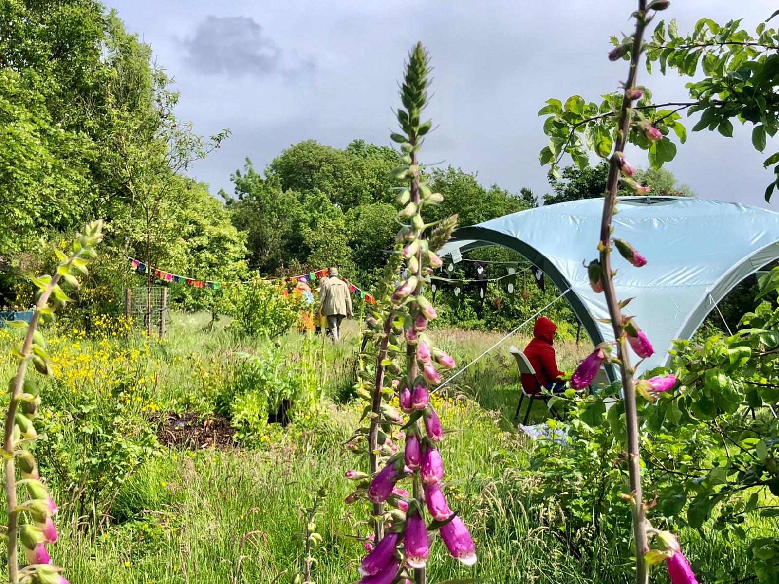
Project 2: “Bwyd I Bawb” community food growing
Purpose: To encourage community food growing and sharing and to create a cheerful network of edible planting through the town centre and Aberteifi’s more deprived neighbourhoods.
4CG car park
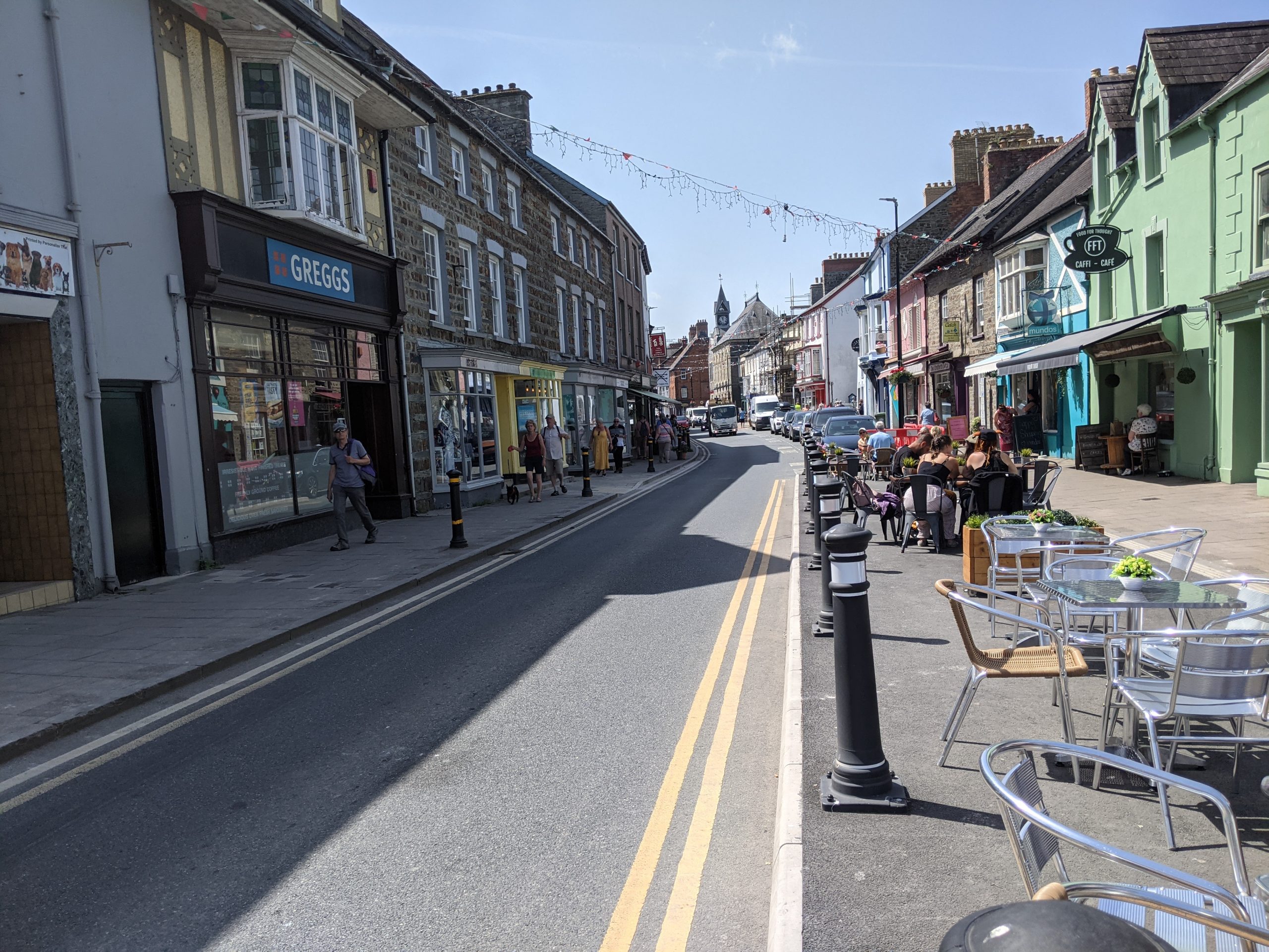
High Street and Pendre
Potential partners: Ceredigion County Council Tackling Hardship Strategy and Action Plan, Men2Men, Cardigan Scouts, Area 43 Youth Charity, Jig-so Children’s Centre, Men’s Sheds, Ceredigion Disability Centre.
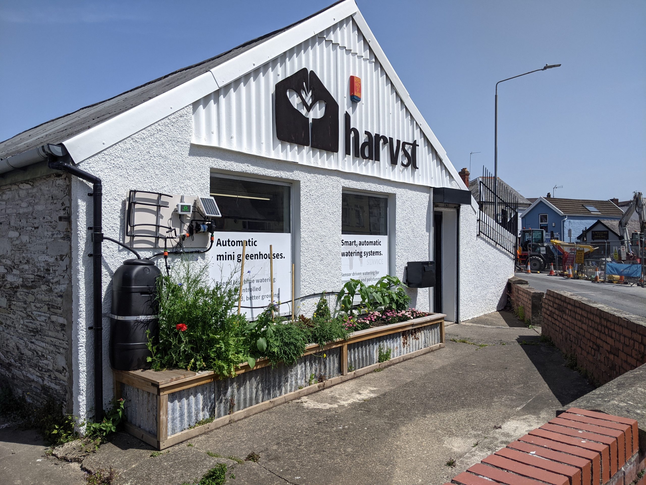
Description: Aberteifi already benefits from significant local enthusiasm to drive a community food growing scheme in the town centre. There is also a desire to pilot suburban food growing schemes in lower income neighbourhoods of the town.
Local food growing has multiple benefits. It is an important wellbeing resource, an educational tool to help communities learn how to grow food and about local food systems and has great value for pollinators and local biodiversity.
In the town centre, “edible” window boxes could be displayed on shopfronts and larger planters introduced at intervals along the one-way street system. This could start on main streets such as Pendre, High Street and Priory Street. Community groups within Aberteifi could be tasked to create sustainable wooden ‘Bwyd i bawb’ window boxes and planters. Seed swapping stations should be introduced in the town, as could water butts to collect rainwater for the maintenance of planters and to address surface water flooding.
Outside the town centre, a neighbourhood food growing scheme should be piloted in one of Aberteifi’s lower income neighbourhoods in partnership with the Tackling Hardship Strategy and Action Plan. A neighbourhood scheme should be led by the local community and supported by groups who can share knowledge, funding, time or resources. Initial local interest should be explored in neighbourhoods including Golwg y Castell, Ridgeway, Bro Teifi, Maesglas or Bron y Dre.
Inspiration from elsewhere…
In nearby Lampeter, the Incredible Edibles project has introduced planters outside local supermarkets with herbs, salads, edible flowers, vegetables and fruiting plants for people to help themselves to.
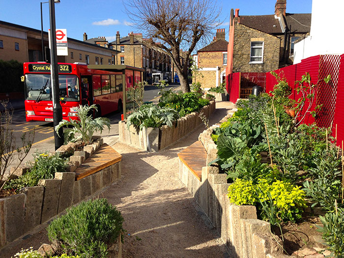
‘Edible bus stops‘ have been introduced as part of London’s transport network. Lessons from this scheme could be used to green bus stop roofs and seating areas at both stops and interchange. This would activate underused spaces, giving them a purpose and a more welcoming public space.
The Squash community food garden in Toxteth (Liverpool) started by transforming streets in the neighbourhood using food growing planters and fruit trees. It later expanded by planting community food gardens in underused green spaces. Finally, the project also built a community food hub that acts as a local cafe, community event space, seed swap, food shop and provides lessons in seasonal, cheap healthy cooking.
University of Wales Trinity St. David’s Tir Glas project is currently planning a community food hub in the town centre. As this project progresses, local knowledge, skills and resources should be shared between the two schemes.
Case study image: The Lampeter "Incredible Edibles" community food planters
Case study image: Edible bus stop in London (Carbon Gold)
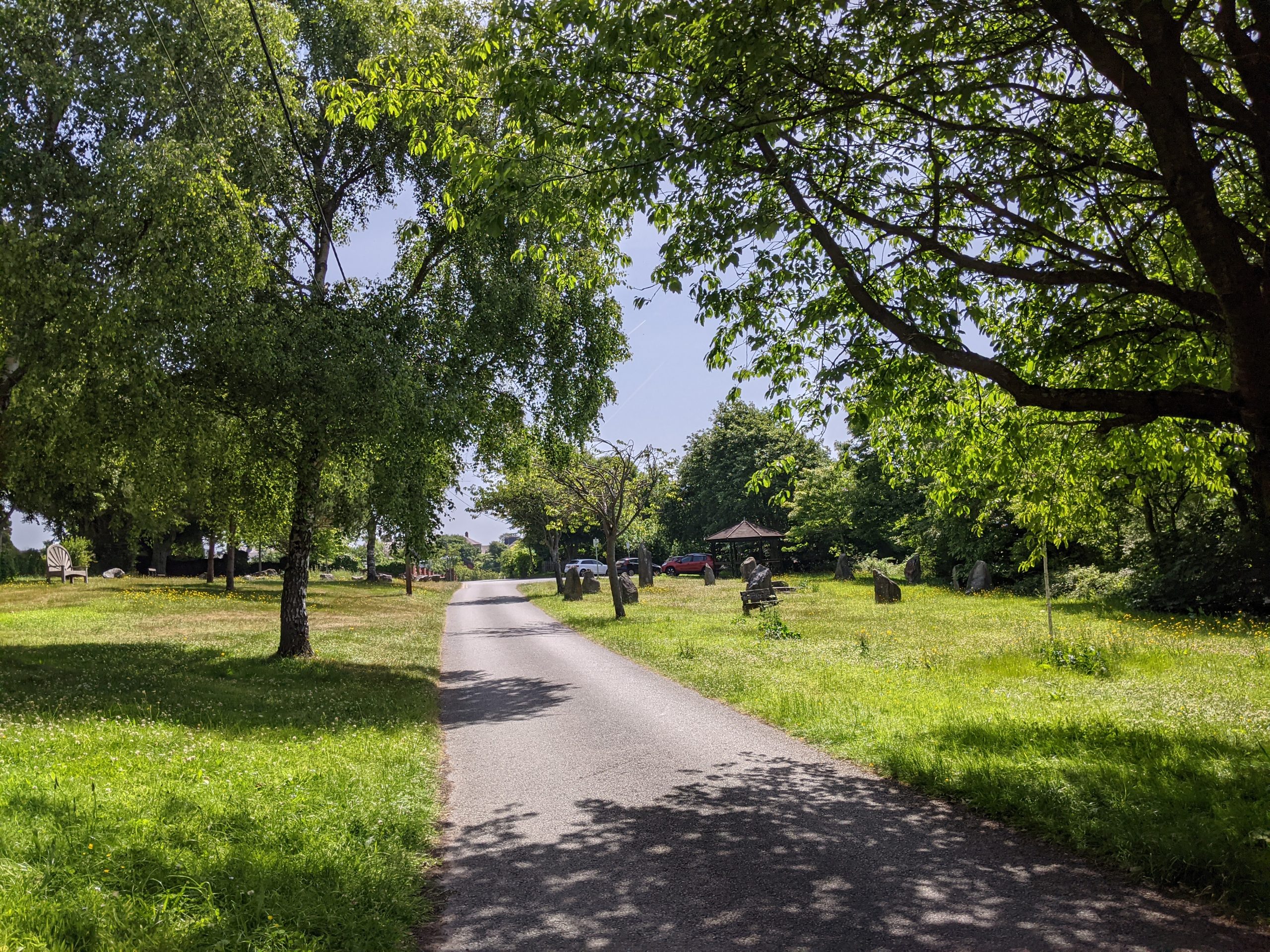
Project 3: Netpool orchard and riverside
Purpose: To increase biodiversity and expand the range of community uses at Netpool Park.
Green spaces in Netpool
Potential partners: Woodland Trust; Natural Resources Wales, local schools, community groups, the Orchard Project, Cardigan Scouts, Area 43 Youth Charity, Jig-so Children’s Centre.
Description: Local stakeholders have identified space for planting a community orchard at Netpool park. This could potentially be sited around one of the wilder borders between the playing fields, the graveyards and the main park area. A community orchard would provide a wellbeing resource for the community and additional planting would enhance flood resilience and biodiversity of the site.
The borders of the playing fields are currently mown up to the banks beyond which it becomes less managed woodland and shrub. Planting orchard species should not incur the loss of any existing mature tree species but could be planted among existing species by clearing areas of scrub. This would retain the wilder natural look of the site while activating and managing the wilder areas for community benefit.
Relaxing current mowing regimes and planting local wildflower species where the banks around the playing field are currently mowed, would improve the biodiversity of the site. It would connect pollinator corridors and encourage more use of the park by adding attractively planted spaces.
Netpool Park could also celebrate its position on the Teifi. The area immediately adjacent to the riverbank could be planted with wildflower meadow species, with a small clearing left for picnic benches and to create a quiet green riverside space. Where the railings currently overlook the river, the concrete paths and concrete remains of a bandstand could be replaced with a permeable surface, planting could be focused around a new seating area overlooking the river, and more informal play elements such as climbing logs and boulders for scrambling or informal seating could be introduced.
Inspiration from elsewhere…
Orchards are one way of both expanding tree cover and providing multiple functions within the GBI network. In particular, they can help contribute to the ‘edible planting’ referenced in Project 2.
The Orchard Project, aims for every household in the UK’s towns and cities to be within walking distance of a productive, well cared for, community-run orchard.
Their model involves providing expert advice and training community groups in orchard management skills for long-term sustainability. In doing so, they hope to strengthen communities, improve wellbeing and build resilience. The harvesting period provides an opportunity for community events and for volunteers and local children to come together and raise awareness about local food systems.
Case study image: Alexandra Park Food Forest (The Orchard Project)
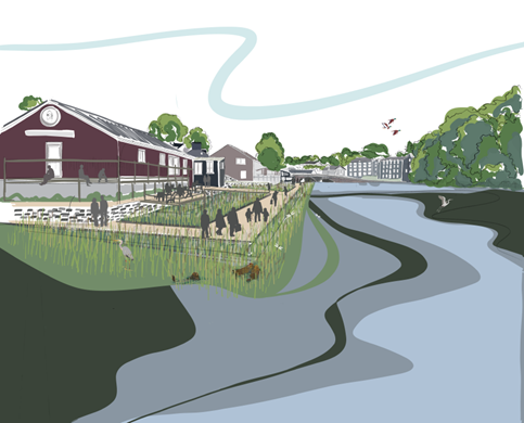
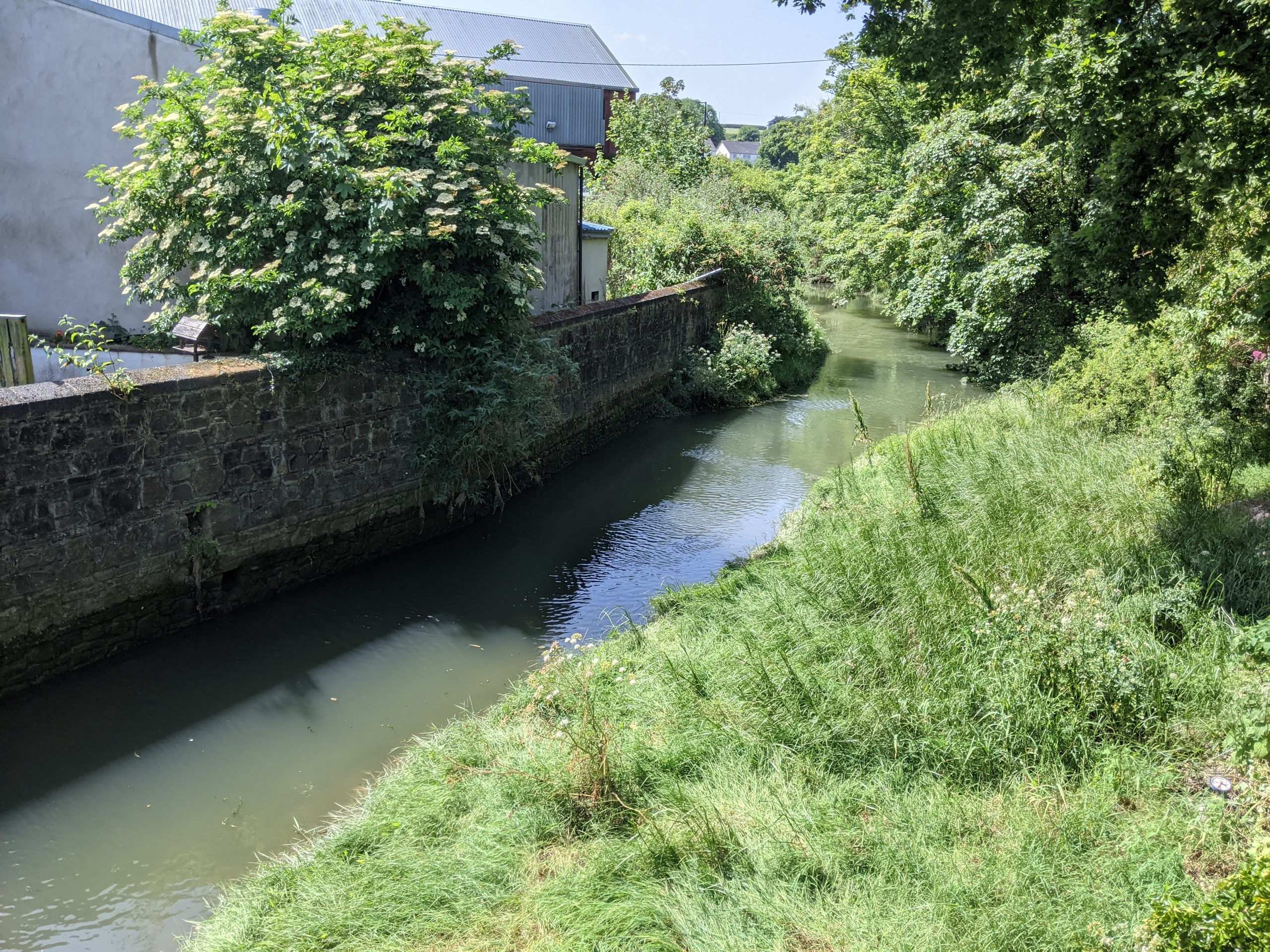
Project 4: Mwldan wetland
Purpose: To improve the health of the Mwldan river corridor, to create a wetland habitat to improve biodiversity and to reduce flood risk in Aberteifi. The wetland could also be used as a wellbeing resource for the local community.
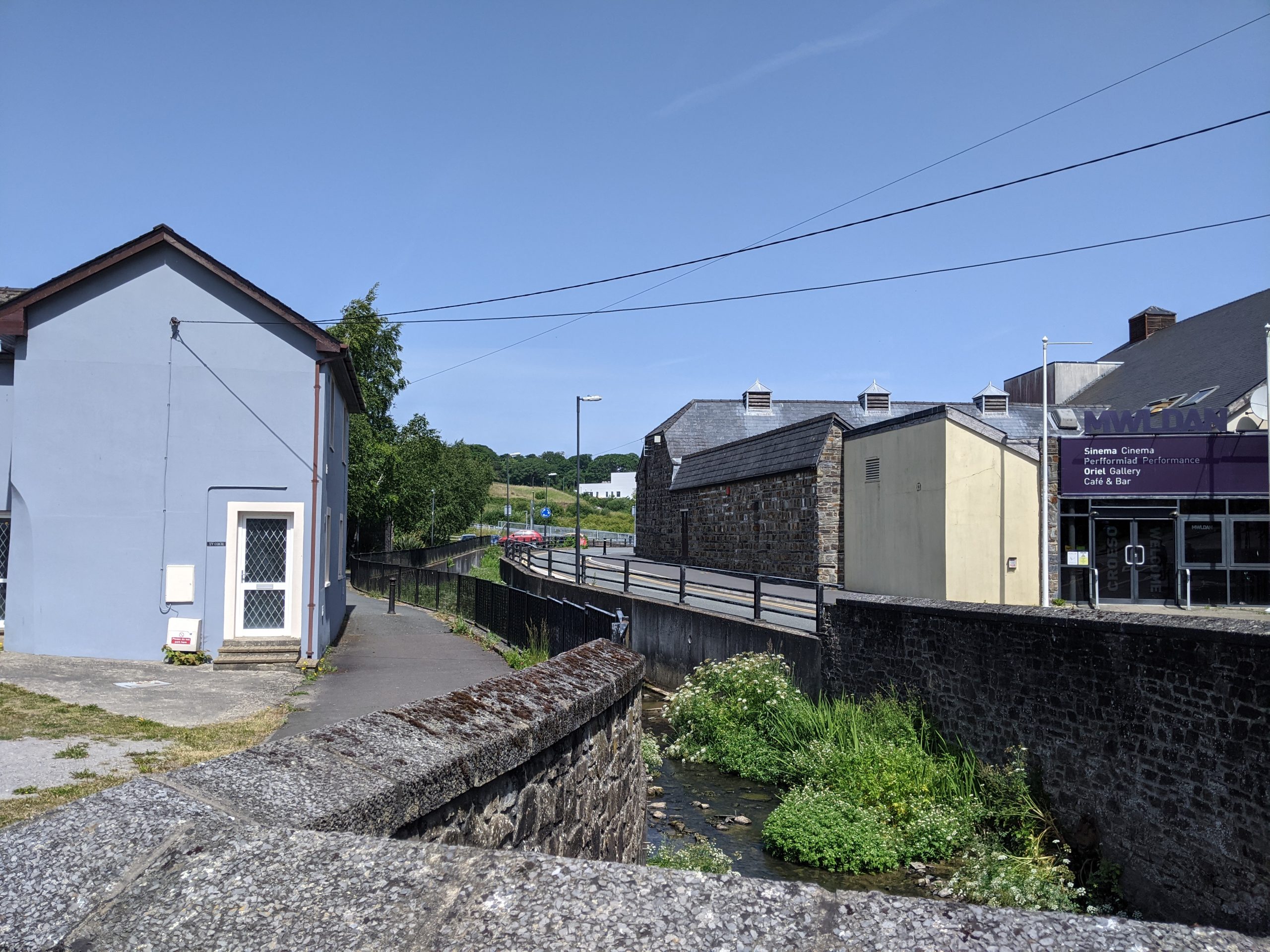
Mwldan river corridor
Purpose: To introduce nature-rich planting features through Aberteifi’s town centre that will connect biodiversity and tree cover and improve the experience of moving through and using the town.
Potential partners: Natural Resources Wales Flood Defence Scheme for Cardigan, Dŵr Cymru / Welsh Water, Cardigan Nature Watch, Environmental Record Centre for West Wales, Walking for Wellbeing, Welsh Wildlife Centre, Aberteifi Town Council and Biodiversity Subcommittee, Wildfowl and Wetlands Trust, local schools, ICC Health Centre, NHS Green Social Prescribing.
Description: Stakeholders in Aberteifi are in early discussions to identify a site upstream of the Afon Mwldan (between the new ICC Health Centre and the pumping station) to transform into a wetland.
The Afon Mwldan is culverted under most of the town centre. However, it is at high risk of flooding where it is “daylighted” in the Maes Mwldan area and in Quay Street Car Park.
Wetlands are one way to create a ‘biodiverse super system’. This is because wetlands can support such a large number and variety of species. They are created using “soft engineering” to create a series of ponds and flooded spaces that form an appropriate ecosystem for planting wetland shrubs, grasses and trees. They slow the flow of water, which naturally reduces surface water flood risk downstream of wetland sites.
Creating a wetland habitat on land upstream of Aberteifi would have significant benefits for the town. It would help to balance the nutrient health of the river corridor and boost the town’s flood defences. As water slowly flows through the wetland, naturally occurring processes absorb, transform, sequester, and remove phosphates, nitrates and other chemicals.
Boardwalks could be introduced to access the wetland site and a wellbeing programme could be explored in partnership with the Integrated Care Centre (located to the west of the site) and with local schools (located to the east of the site). These include Cardigan Junior School, Secondary School and College.
Inspiration from elsewhere…
The Integrated Wetlands project in Herefordshire has been implemented to address the problem of nutrient (specifically phosphorous) loading on the River Lugg SAC – similar to problems encountered along the Teifi.
The project includes the construction of a new system of wetland on land next to the Welsh Water sewage works at Luston. These wetlands will receive water from the sewage works and provide additional treatment of the water before it is allowed to flow into the Lugg. This approach could be replicated in Aberteifi, providing multiple GBI benefits.
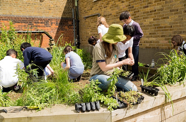
The ‘SuDS for Schools’ program, run by the Wildfowl & Wetlands Trust, introduced mini wetlands in ten schools in a North London catchment found to be at risk from surface water flooding. They also became places where students could play and learn outdoors. As a result, the schools became hubs for reconnecting the local people with their river. A similar programme could be led by local schools in Aberteifi as part of a large-scale wetland project, focussing on reconnecting young people with the Afon Mwldan.
Case study image: Children at Hollickwood Primary School gardening at "SuDS for schools" project
Case study image: an urban wetland (Wildfowl and Wetlands Trust)
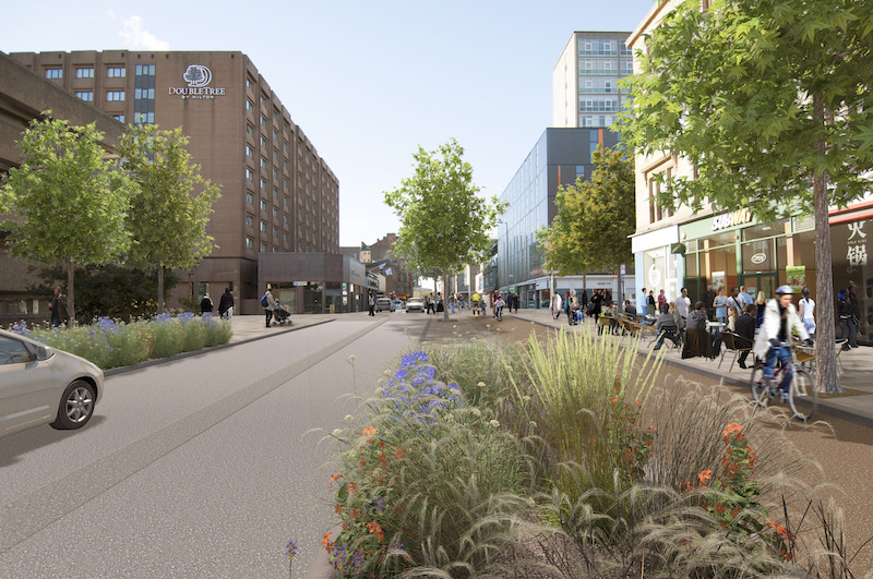
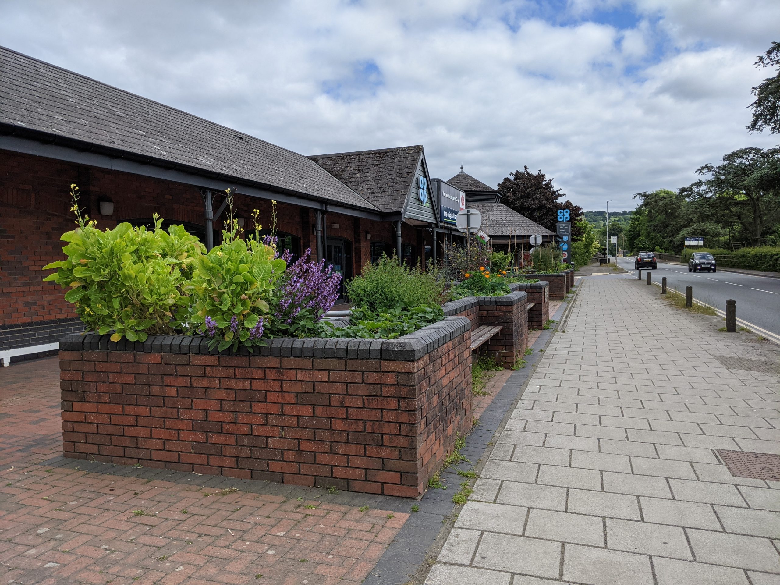
Project 5: Greening Aberteifi town centre
Purpose: To introduce nature-rich planting features through Aberteifi’s town centre that will connect biodiversity and tree cover and improve the experience of moving through and using the town.
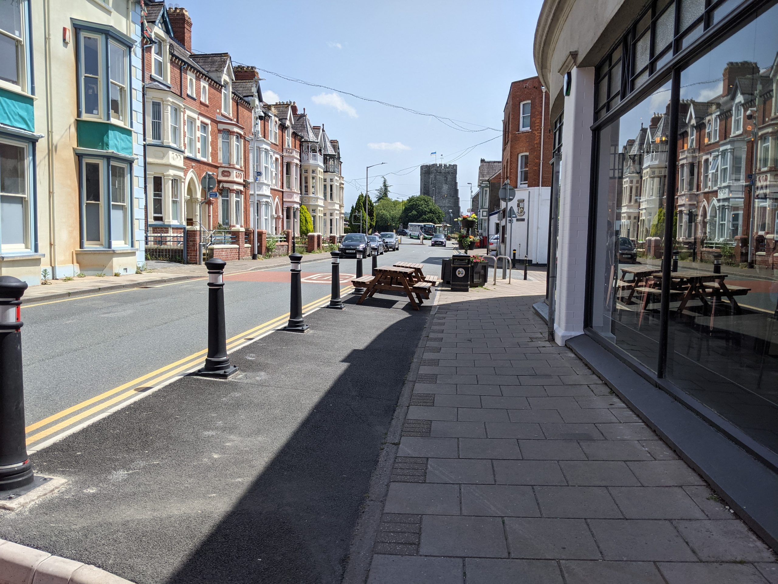
High Street and Pendre in Aberteifi
Priory Street
Potential partners: 4CG, Aberteifi Town Council, Ceredigion County Council, local businesses, Men’s Sheds, Ceredigion Disability Centre, Sustrans.
Description: The one-way system currently being trialled in Aberteifi has created opportunities to enhance the quality and walkability of public space in the town centre. Reallocating space more permanently would improve access and movement through the town, creating a more successful thoroughfare along Pendre Street and High Street with dropped kerbs and unified paving (in line with guidance from Manual for Streets).
Multifunctional urban greening should be an important element of this reallocation of space. “Rain garden” borders could be introduced in place of kerbs and bollards, creating attractive routes through the town. It is important that these features go beyond ornamental value to deliver multiple benefits, primarily by slowing the flow of water runoff in elevated sections of the town centre and creating a wildlife corridor through the urban area.
Seating integrated with planters and street trees could be introduced along wider sections of roads, such as Pendre Street and Priory Street. Some car parking spaces can be reallocated as ‘parklets‘ for the use of businesses as seating, particularly during the summer months. Planters or structural planting could be used to enclose roadside seating spaces away from moving vehicles.
Urban greening features should also be prioritised along Cardigan’s network of pedestrian walkways and cut-throughs. Key routes include:
- Through the 4CG car park.
- The riverside route alongside the Mwldan Theatre and Cinema and near Mwldan Business Centre.
- Along Ebens Lane, The Arcade and Market Lane.
This improved connectivity would help to create stronger access between the town, the riverside and surrounding residential areas.
Inspiration from elsewhere…
Glasgow Avenues is a key initiative led by Glasgow City Council and Sustrans to rethink the city’s main streets, putting people at their heart. By redressing the balance between vehicles, pedestrians and cyclists, the city found ways to make streets of every size more “people friendly”.
It was important to separate and manage vehicle and pedestrian traffic and to make the wayfinding through the streets clear. The project also used greenery and paving to make streets and the wider neighbourhood more attractive, more sustainable and more economically competitive.
Case study image: Visualisation of Glasgow Avenues 'rain garden' border (Glasgow Avenues)