Aberystwyth
Overview of GBI opportunities in Aberystwyth
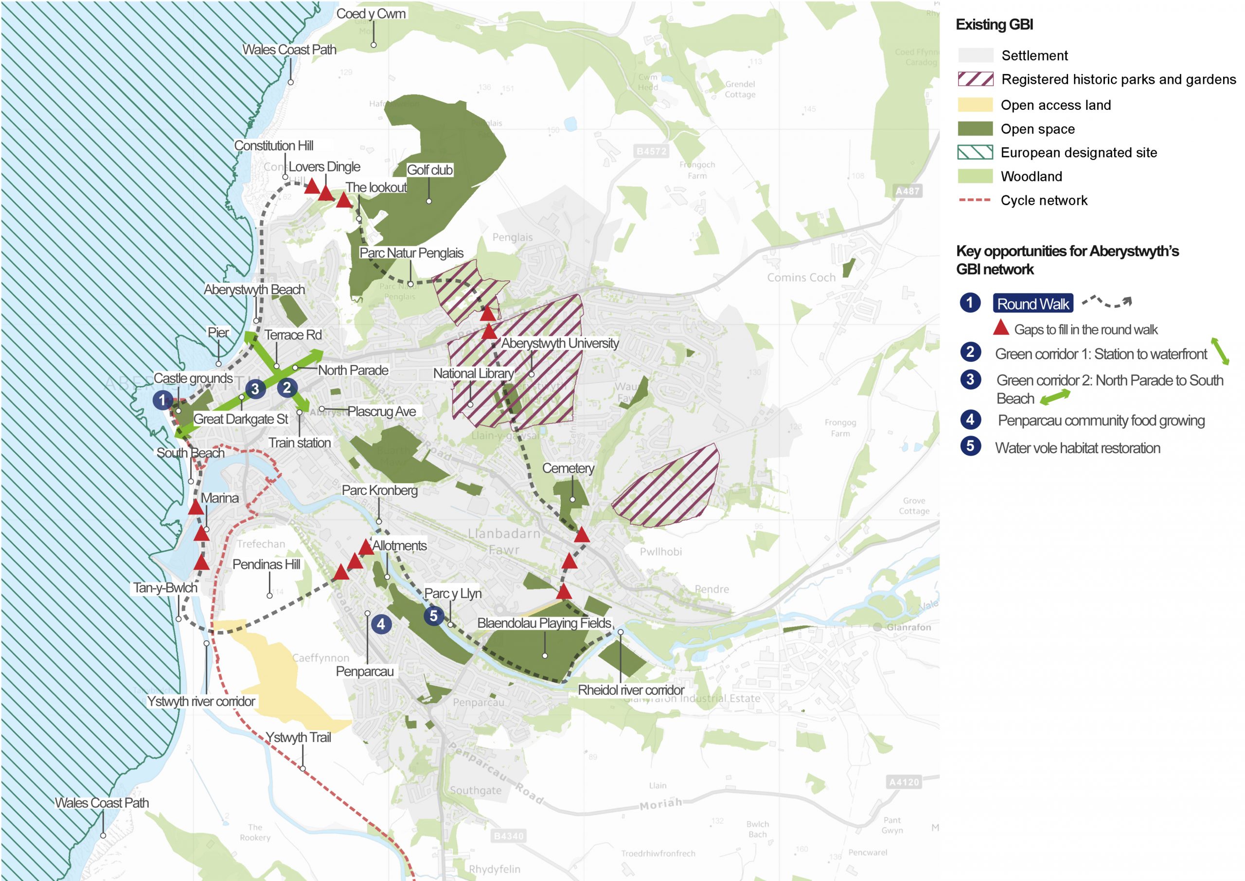
An overview of Aberystwyth
Aberystwyth is the largest settlement in Ceredigion. According to the 2011 census, it has a population of over 18,000. It has an important role as a university, market and seaside town. It is also the County’s administrative centre. The town is located where the Rheidol and Ystwyth rivers meet, nestled between rolling hills and impressive cliffs to the north, east and south.
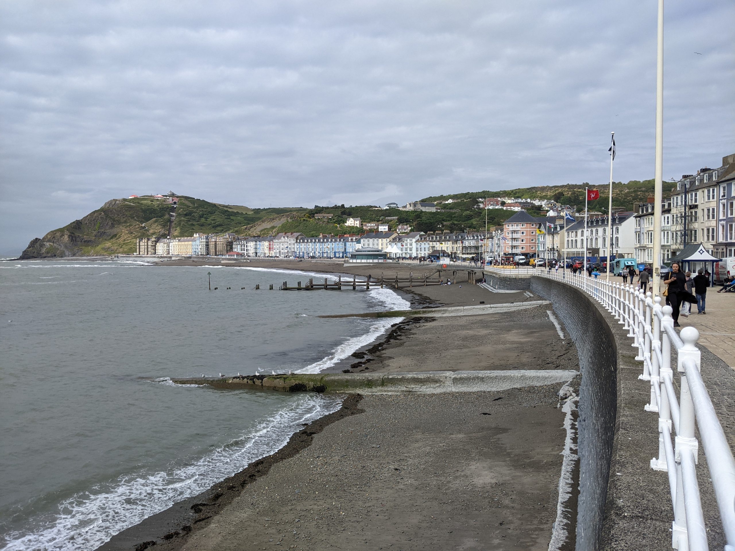
Aberystwyth’s historical development was strongly influenced by its defensive position surrounded by hills. As a result, the town boasts both the remains of a large Iron Age hill fort at Pen Dinas and the medieval Aberystwyth Castle. More recent growth came as a result of its popularity as a Victorian seaside resort. It also benefits from a marina, university and train station.
Aberystwyth’s coastal location is an important draw for tourists. It is also home to important coastal habitats. Cardigan Bay is designated as a Special Area for Conservation (SAC) and the coastal cliffs to the north and south are identified as Important Bird Areas.
Aberystwyth includes notable areas of open space and nature value. These include the local natures reserves (LNR) of Pen Dinas in the south, Parc Natur Penglais in the north and the ancient woodland at Coed Y Cwm to the north of the town. There are Historic Parks and Gardens in the north of the town, associated with the National Library, Parc Natur Penglais and the Penglais and Llanbadarn campuses of Aberystwyth University.
Active travel links into the settlement include the Ceredigion Coastal Path, National Cycle Routes 81 and 82 and the Ystwyth Trail (part of which is a National Cycle Route).
Aberystwyth is one of the Regional Growth Areas identified in Future Wales: The National Plan 2040.
What are the key challenges facing Aberystwyth?
Flooding: Aberystwyth town centre does benefit from flood defences and these provide some protection from river flooding. However, recent history shows that flood events continue to impact the town. Flooding is caused by three different mechanisms – sea, river and surface water. Flooding from the sea poses a risk to the seafront, up the Rheidol floodplain and in the area of North Parade in the town centre. Riverine flooding is concentrated on the floodplain of the two rivers – the Afon Rheidol and Afon Ystwyth. Surface water flood risk is concentrated in the built-up areas, where sewers frequently overflow. Notable storm events took place and caused damage in January 2014 and August 2020.
Water quality: The headwaters of the Rheidol and Ystwyth rivers are in an area of historic metal mining. As a result, the two rivers have been assessed as Moderate to Poor quality under the Water Framework Directive. The legacy of metal mining has also had an impact on the quality of floodplain soils, where high magnitude flood events cause the remobilisation and redistribution of heavy metal contaminants, which can be very high in concentration.
Access to green space: Aberystwyth has relatively high levels of green space and local nature reserves. However, there is a challenge in ensuring these are actively used by communities and accessible to all. There is also high demand for additional growing space among local communities.
Tree cover: Overall, Aberystwyth has relatively high tree canopy cover compared to the rest of Ceredigion – averaging over 18% across the town. However, coverage is unequally distributed across the town. In particular, Aberystwyth Rheidol 1 ward has only 1% canopy cover. This is the lowest level within the built up areas in Ceredigion, according to NRW’s 2016 Town Tree Cover report. Stakeholders have raised concerns over the recent loss of large trees – highlighting the need to manage and protect the legacy Victorian and Edwardian trees and plan for the next generation.
Tourism opportunities and local economy: There is more to be done in Aberystwyth to make the most of tourism opportunities. The Aberystwyth Place Plan highlights the need to showcase the town’s Welsh identity through iconic buildings, cultural heritage and an attractive public realm which reflects the character of the town.
Flagship project: Aberystwyth Circular Nature Trail
For more information on this project, see the dedicated Aberystwyth Circular Nature Trail flagship project page.
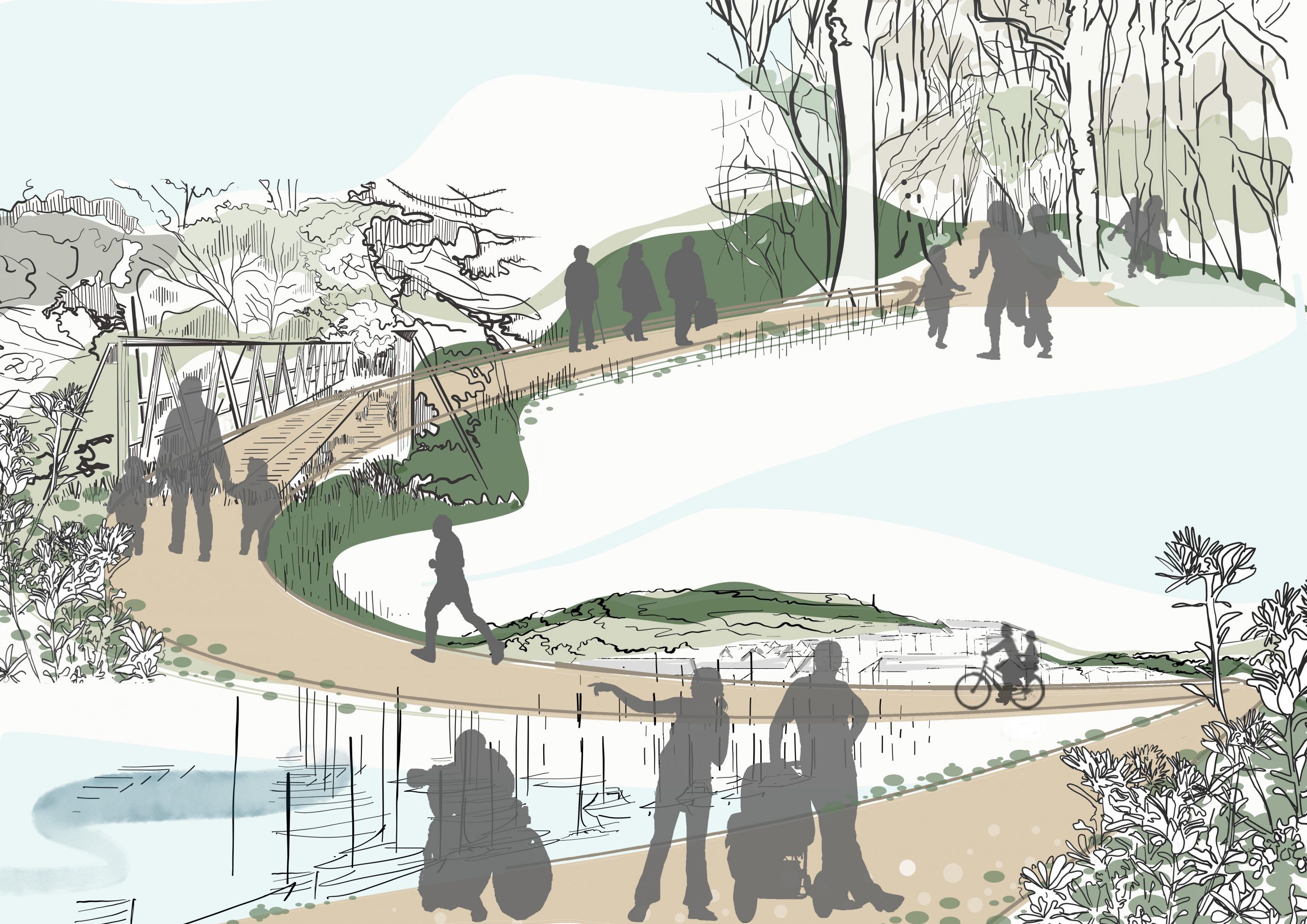
Purpose: To connect Aberystwyth’s waterfront, green spaces and woodlands on a circular walking route and nature trail. The route aims to improve connectivity for both people and nature.
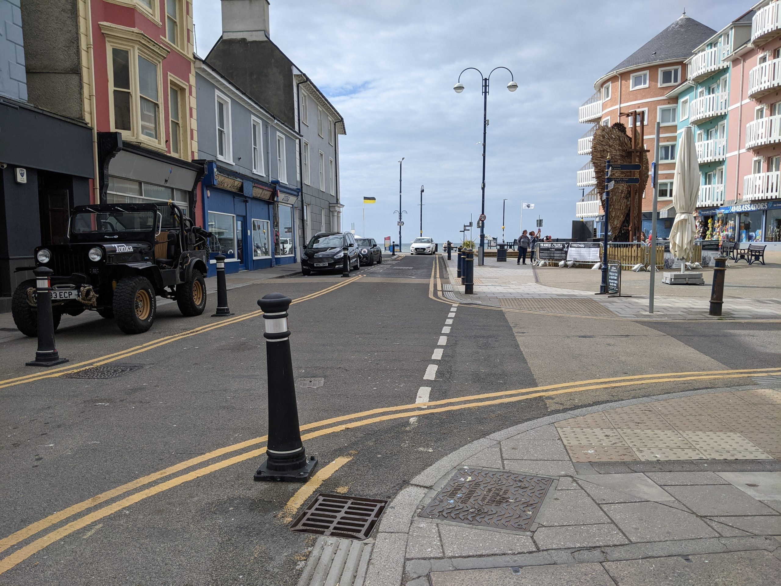
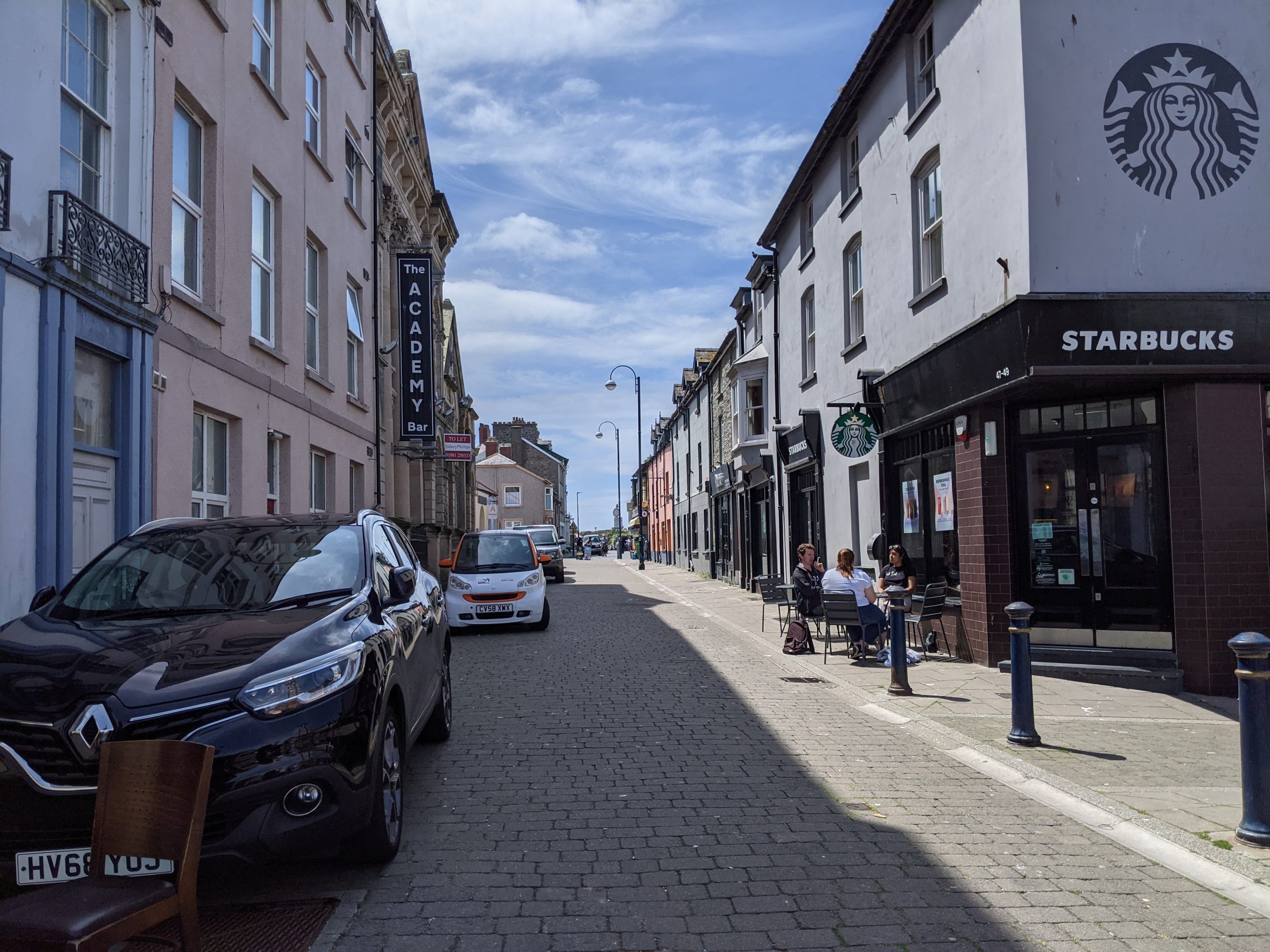
Project 2: Town centre green corridor (Railway station to waterfront)
Purpose: To create a ‘green corridor’ from the station to the waterfront quarter, through the town centre and onto the seafront. This will encourage walking and cycling for journeys within the town, create a greener public realm in the town centre, enhance the quality of experience through the town and alleviate surface water flooding through the integration of SuDS.

Potential partners: Local businesses, Aberystwyth Town Council, Aberystwyth Rail Group, local schools, Eco Hub Aber
Description: This green and blue ‘spine’ through the town centre would connect the station to the seafront. It would follow Terrace Road and would use structural planting of street trees and “rain garden” borders in place of existing railing and bollards.
A ‘green gateway’ to Aberystwyth should be created at the railway station and through the bus interchange (see mobility hub proposals). This would create a clear sense of arrival in Aberystwyth, a town surrounded by green hills, wildlife and the sea.
The outcome of ongoing pedestrian trials along Terrace Road will determine whether this location will become a pedestrian route, a traffic calmed route or otherwise.
“Meanwhile parks”, or “parklets”, should be used to expand seating for businesses and to provide space for planters while the pedestrian route is under discussion. In this way, local businesses can feed into the conversation about the final scheme.
Planting and seating should be combined in existing public spaces at King Square and in new public spaces at the intersection of Terrace Road and North Parade. This would create social spaces and encourage visitors to linger. Community ownership of the planting in these spaces would make sure they are well maintained and become a source of pride in the town.
Opportunities to join up the route with the well used school route along Plascrug Avenue would extend the benefits of a green corridor.
Multifunctional features which would enhance the route should include: wayfinding (consistent with strategies for walking routes elsewhere), playful elements, pollinator-friendly plant species, rain gardens and street tree planting.
Tree planting in particular would help to increase woodland connectivity between the two LNRs of Pendinas and Parc Natur Penglais.
Inspiration from elsewhere…
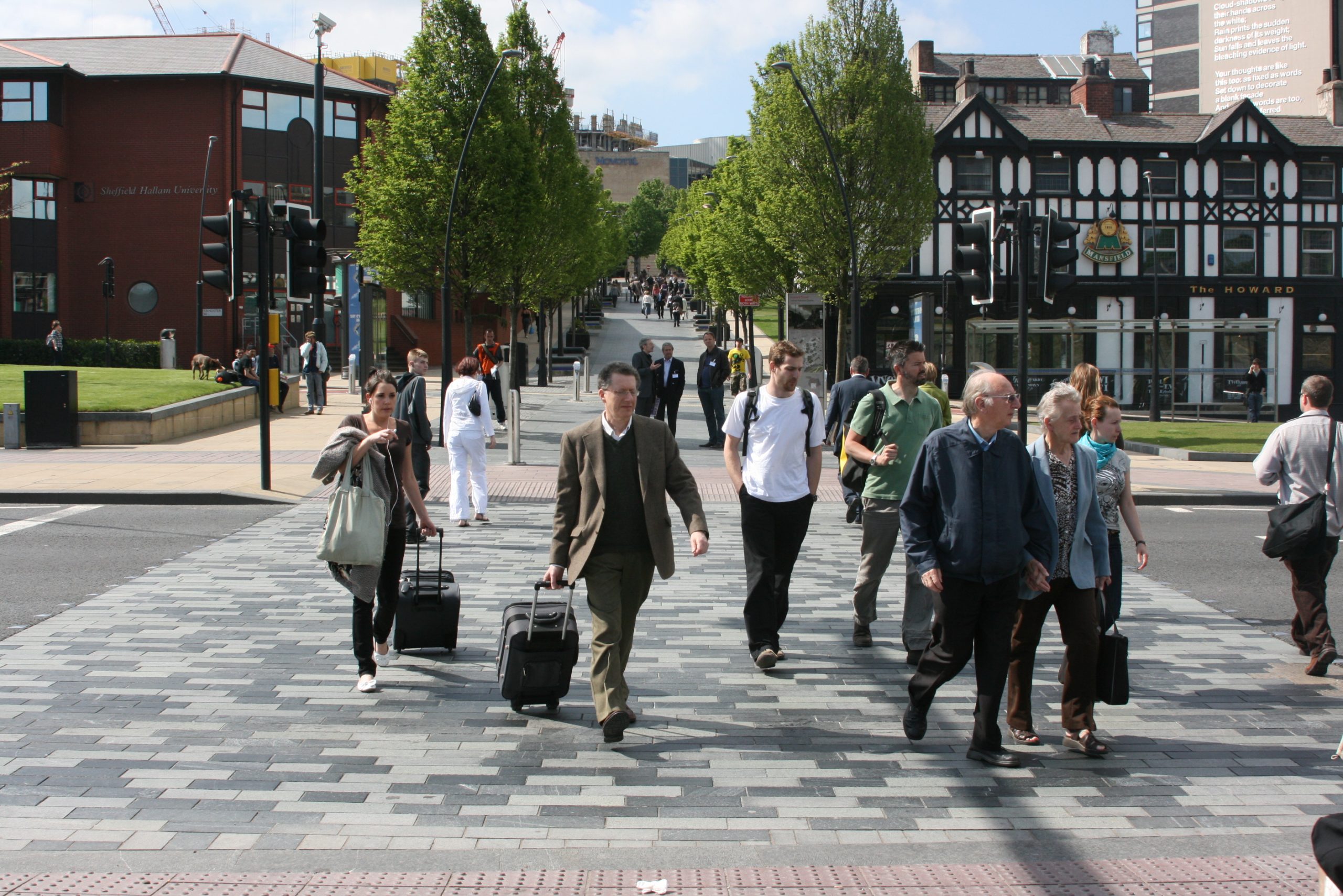
Sheaf Square in Sheffield is an example of a heavily used cross-city route connecting the city, residential suburbs, and local green spaces. It transformed a previously poor ‘sense of arrival’ at the station and has since become a highly valued public space and transport interchange. It provides inspiration for how Aberystwyth’s Station could be reimagined as a new hub.
Sheaf Square also provides an example of how local heritage can be used as an anchor for reimagining these ‘gateways’. The design references the geology, landscape and history of Sheffield.
Newly surfaced pedestrian crossings and walkways encourage walking and cycling, as part of the wider ‘Gold Route’. The route links a series of public spaces throughout the city. Plascrug Avenue should be carefully integrated in a similar way.
Case study image: 'Gold route' to Sheaf Square (Academy of Urbanism)
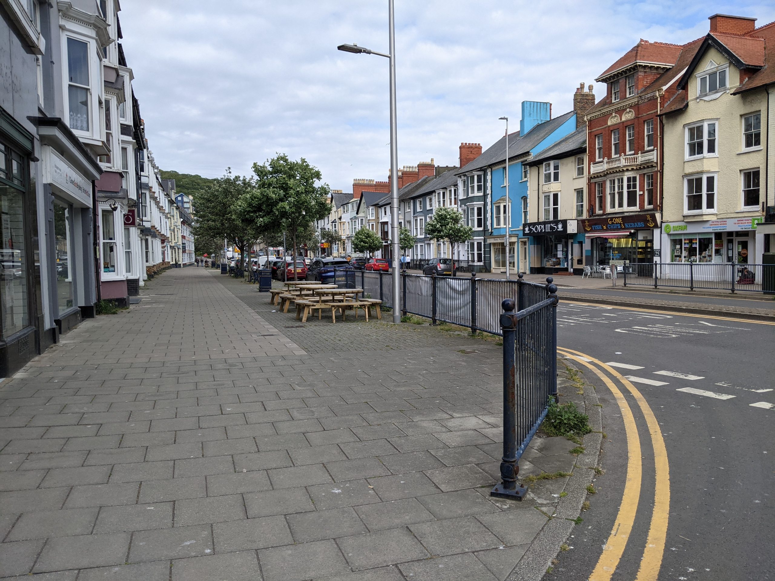
Project 3: Town centre green spine (from North Parade to South Beach)
Purpose: Creating a ‘green corridor’ from North Parade to South Beach, to encourage walking and cycling, enhance the public realm, support the visitor economy and encourage urban wildlife.
Potential partners: Local businesses, Aberystwyth Town Council, local community groups, Tyfu Aber Grow – Aber Food Surplus, The Orchard Project
Description: This green corridor would connect: North Parade – Great Darkgate Street – the ‘Food quarter’ – Castle Grounds and South Beach. It could be delivered through a mixture of structural planting of native trees, rain garden borders and street planters along Great Darkgate Street. This would be continued with wildflower planting through the castle grounds connecting to South Beach. New tree planting could connect with existing street trees on North Parade and improve wildlife connections out to Parc Natur Penglais.
North Parade is an area at high risk of surface water flooding. Incorporating “rain gardens” along the route would enhance the streetscape while enhancing climate resilience.
Great Darkgate Street’s market hall and Michelin Star restaurant are part of an emerging ‘food quarter’ identity in this area. Sensory vegetable and herb planting could help to support this identity by using orchard and fruit tree species, herb window boxes and vegetable planters.
Creating an attractive green streetscape on Great Darkgate Street would support the visitor economy by promoting café culture and increased footfall.
Inspiration from elsewhere….
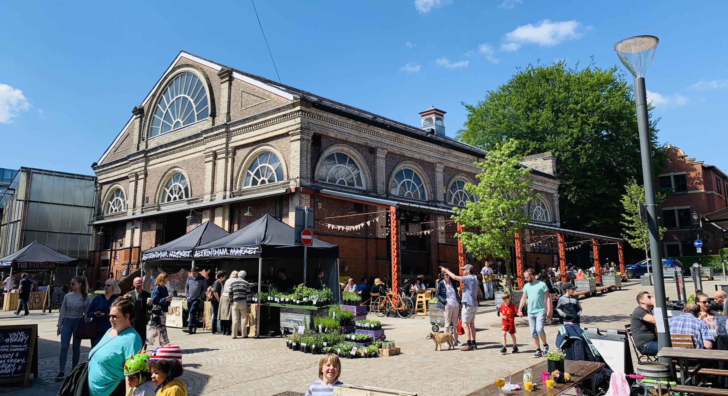
Greening the streets around Altrincham market in a suburb of Manchester was key to the regeneration of the towns’ market hall and wider area.
Altrincham is now developing plans to extend planting and public realm improvements through the town centre streets.
Case study image: Altrincham market hall
Project 4: Penparcau community food growing
Purpose: To encourage community food growing and sharing by creating a cheerful network of edible planting through Aberystwyth’s more deprived neighbourhoods.
River flowing through the Penparcau neighbourhood
Potential partners: Ceredigion County Council Tackling Hardship Strategy and Action Plan, Tyfu Aber Grow – Aber Food Surplus, Penparcau Planting Project, Penparcau Community Forum, The Orchard Project, Tir Coed.
Description: Penparcau already benefits from significant local enthusiasm for community food growing, led by the Penparcau Community Forum. There is significant interest in piloting suburban food growing projects.
This neighbourhood scheme seeks to build on the foundation of support among the local community. The community should play an important role in sharing knowledge, funding, time and resources.
Community food streets (also known as ‘incredible edible neighbourhoods’) often start with identifying unused and unloved open spaces on a street or in a neighbourhood. These areas are then used for the planting of vegetable beds, raised planters, fruiting trees or small orchards.
The Penparcau Community Forum have already begun to establish a community hub. Further support to formalise this would help the hub to share tools, bring volunteers together and raise awareness – through events focused on food sharing, seed swapping or pop-up neighbourhood meals. Connections with local schools could also be made. Collectively, this would drive local enthusiasm for planting and growing.
Local food growing has multiple benefits. It can be a powerful wellbeing resource, an educational tool for understanding local food systems, and a great way to bring different members of the community together. Introducing trees, planted vegetable beds and food planters also brings colour, pollinators and greater biodiversity to public spaces.
In Penparcau, funding for larger structural planting projects would help to transform car dominated streets into a green neighbourhood that provides a more sensory experience for local people.
The Penparcau neighbourhood is also a key corridor linking Aberystwyth town centre to Pen Dinas Hill and Tan-y-Bwlch – giving this project the opportunity to better connect the neighbourhood with local destinations such as the harbour redevelopment, farmers market, the station, and other key hubs.
Inspiration from elsewhere…
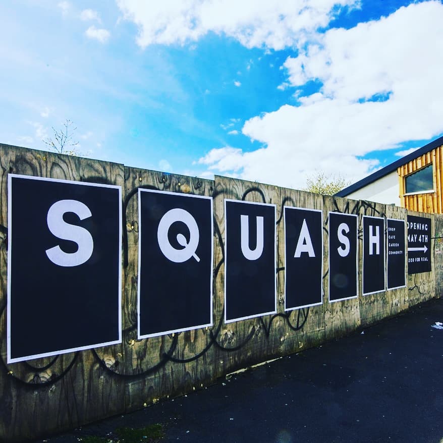
The Squash community food garden in Toxteth (Liverpool) started by transforming streets in the neighbourhood using food growing planters and fruit trees. It later expanded by planting community food gardens in underused green spaces. Finally, the project also built a community food hub that acts as a local cafe, community event space, seed swap, food shop and provides lessons in seasonal, cheap healthy cooking.
Incredible Edible neighbourhoods have grown in popularity, after the first one was set up in Todmorden.
Case study image: Squash community garden sign
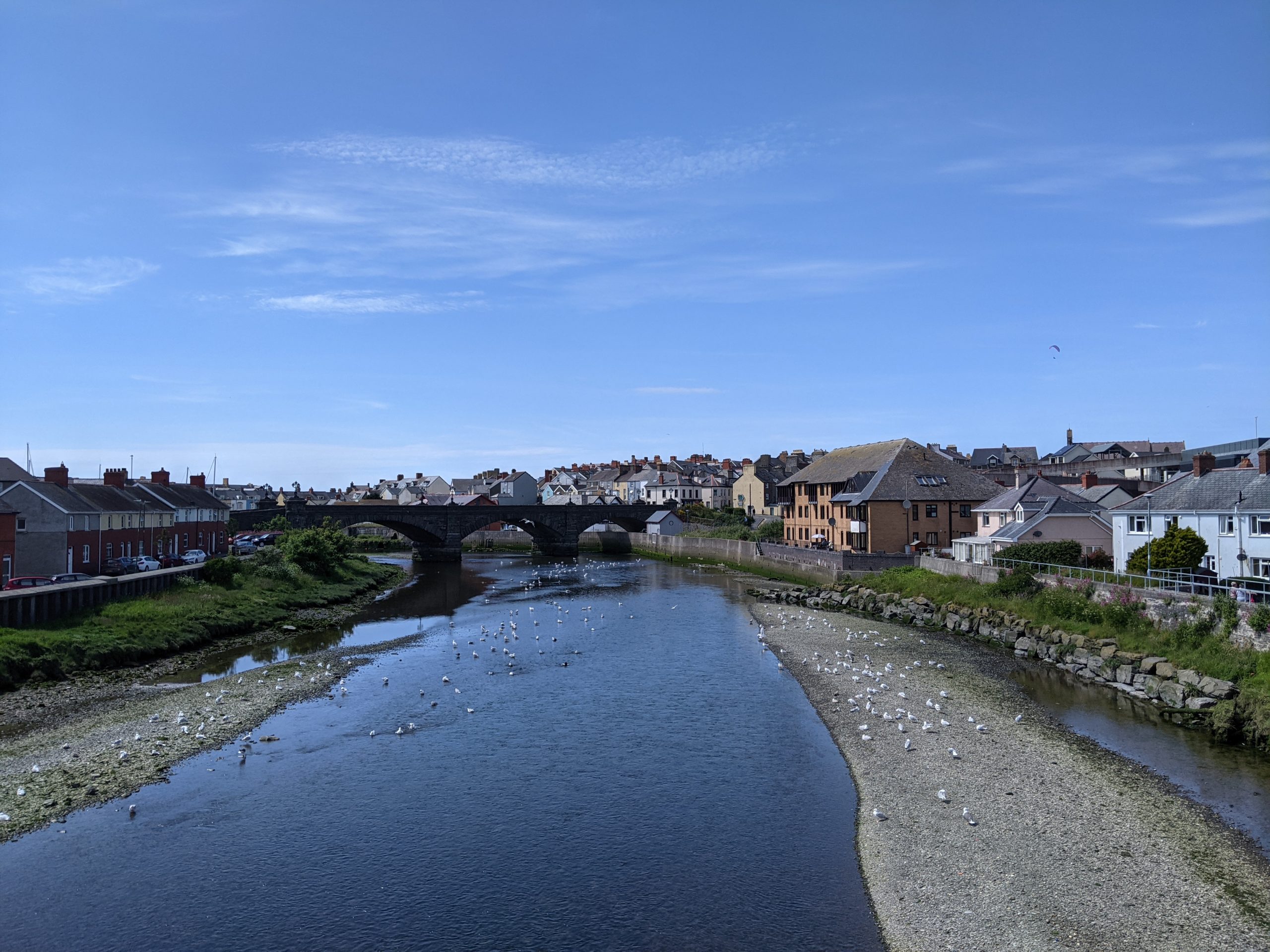
Project 5: Water vole habitat restoration
Purpose: To buffer and connect water vole habitats on the Afon Rheidol to restore thriving populations.
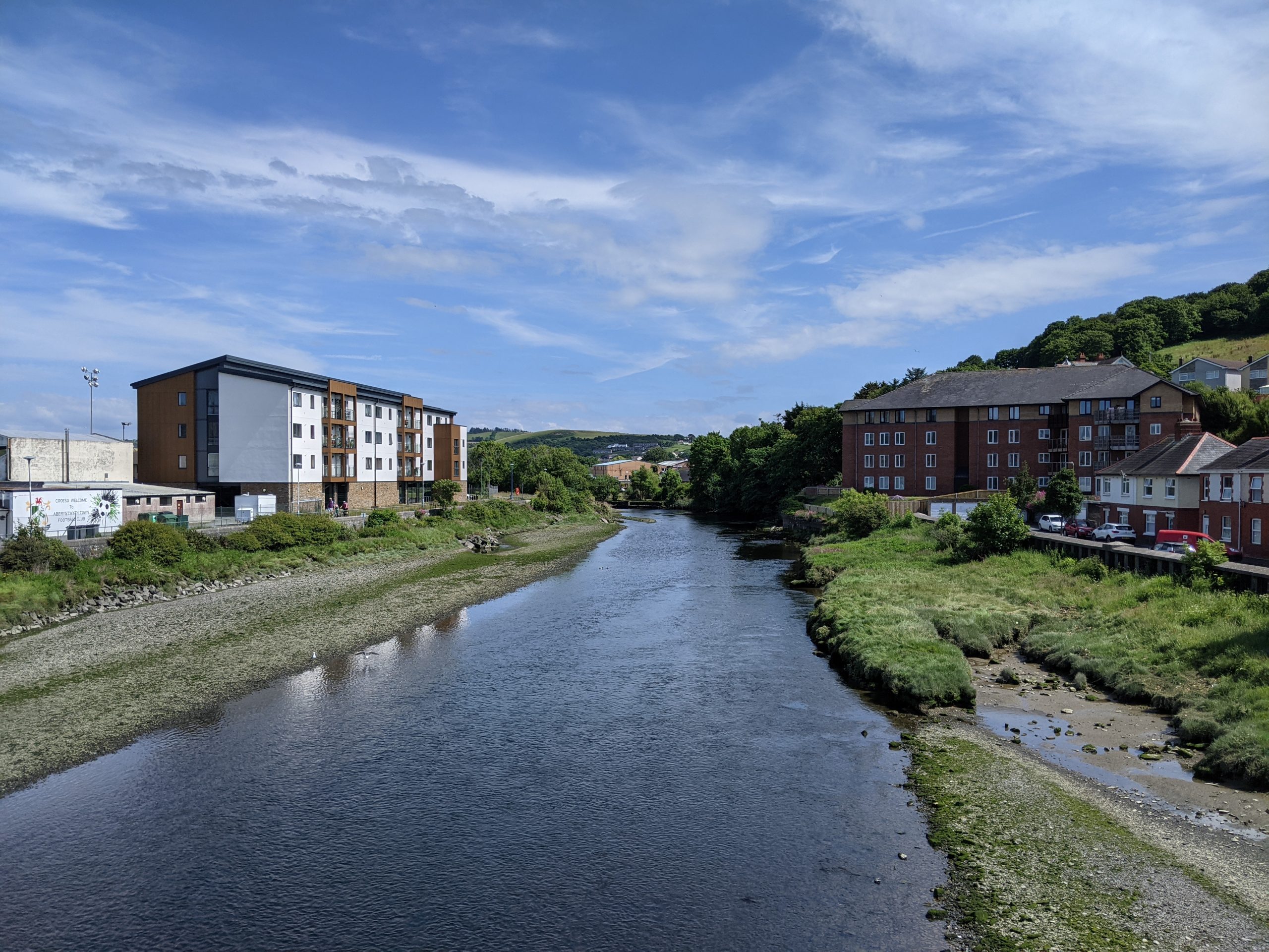
Rheidol river corridor
Potential partners: Natural Resources Wales, Dŵr Cymru / Welsh Water, Mammal Society
Description: The water vole is a Ceredigion Biodiversity Action Plan species. It is also Britain’s fastest declining mammal. In 2010, surveys found that the number of water voles living in Aberystwyth’s Parc y Llyn area had fallen. This led to work being carried out on a network of ditches and wet areas in the Parc y Llyn area of the town. However, water voles continue to be threatened and are in decline in the local area.
Factors driving the decline include development, insensitive bank protection works, inappropriate ditch management, predation by American mink and the pollution of watercourses. Many of the surviving populations are now isolated in the landscape, making them vulnerable to extinction locally in the future.
It is easy to provide a home for water voles, so that populations can thrive or expand and move into new areas. A water vole will even inhabit a ditch with clean slow flowing water so long as there is plenty of vegetation growing from the banks. One measure, for example, which can provide more suitable and better connected habitat is to not cut river banks through the town to ground-level between March and the end of September (at the earliest).
Restoring connectivity in Aberystwyth should be prioritised between Ceredigion Council’s Parc y Llyn reserve and the Pen Dinas & Tan-y-Bwlch Local Nature Reserve. This can be achieved by opening up ditches through the built-up area of Penparcau.
A community engagement programme would help protect this charismatic species. It could act in combination with the practical habitat management by helping to monitor population numbers so that future interventions can be better targeted. This could involve collaboration with existing initiatives such as the National Water Vole Database and Mapping Project and the planned water vole species recovery plan for Wales.
Inspiration from elsewhere…
The Berkshire, Buckinghamshire and Oxfordshire Wildlife Trust’s (BBOWT) Water Vole Recovery Project launched in 1998 and is the longest standing local project in the UK dedicated to water vole conservation. BBOWT work in partnership with the Environment Agency, the Canal & River Trust and Thames Water.
The project has managed to increase water vole activity by 78% over a period of 10 years. It has done this by monitoring water voles, identifying habitat enhancement opportunities and influencing local landowners to manage sites sympathetically and implement mink control.