People
Why is GBI important for people in Cherwell?
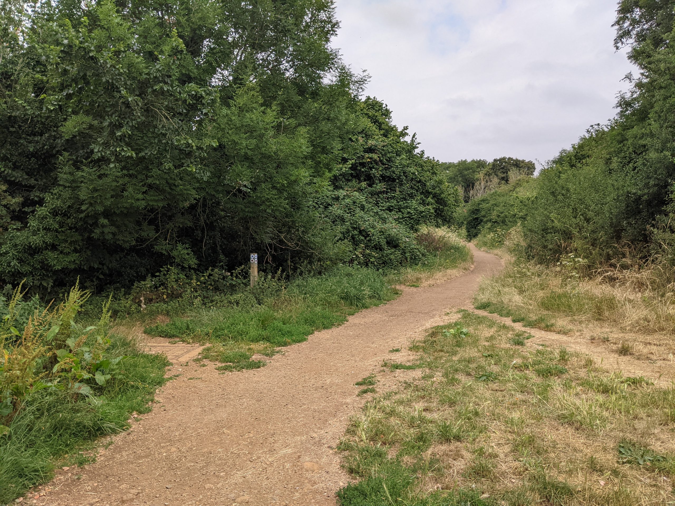
The Salt Way, Banbury
Access to green and blue spaces on our doorstep has long been known to benefit physical health. It is also increasingly linked to positive mental health – whether it is a footpath for a morning dog walk, leafy trees on the local high street, or a local area to play. The experience of the Covid-19 pandemic from 2020 heightened awareness of these benefits.
For young people, opportunities to play outside, particularly in natural surroundings, are found to significantly reduce mental ill health. However, a significantly ageing population also means that our open spaces need to cater for an intergenerational community and the distinct needs of each group.
GBI networks are increasingly recognised as part of preventative health care. ‘Green social prescribing’, for example, works by linking people with local ‘green’ activities, such as walking groups, community gardens and food-growing projects.
There is a strong crossover between the planning of walking, cycling and wheeling infrastructure and the planning of the GBI network. The GBI network can contribute to the ‘greening’ of walking and cycling infrastructure to encourage use. It can also help to provide ‘softer’ greenways and active travel routes as part of the wider network.
Natural spaces are not only a forum for exercise. They also provide opportunities to come together and socialise. This might happen at the scale of a ‘pocket park’ or a larger community garden where people can connect through volunteering.
What does national policy say?
As a result of the ambitions set out in the 25 Year Environment Plan (25YEP), the role of GBI has risen rapidly up the political agenda in the UK. Published in 2018, it outlines the UK government’s support for natural spaces close to where people live and work, and connecting people with the environment to improve health and wellbeing.
The National Planning Policy Framework (2021) emphasises the need for GBI networks and their benefits for local communities. It also requires that planning policies should aim to achieve healthy, inclusive and safe places, including through the provision of ‘safe and accessible green infrastructure’ (Paragraph 92).
The multi-partner Nature Positive 2030 initiative sets out how using nature in this way can provide critical health benefits as well as supporting adaptation to climate change, alongside other benefits. It sets out how the UK can meet its commitments in the global Leaders’ Pledge for Nature.
What does sub-regional policy say?
At a sub-regional level, the Natural Capital in Oxfordshire (2020) report calculates that across the Arc, natural assets provide £507 million in value for recreation (based on 168 million visitors).
The 2020 report Making the case for investment in Green Infrastructure in Oxfordshire demonstrates the importance of GI to economic development, sustainable housing provision and social wellbeing.
Finally, the Oxfordshire Local Transport and Connectivity Plan (July 2022) commits to protecting, maintaining and enhancing GI and improving the connectivity of the GI Network. It also aims to deliver a transport network that achieves and, where possible, exceeds governmental and local biodiversity net gain targets.
What does local policy say?
Cherwell’s Local Plan 2011-2031 contains a number of policies on Green and Blue infrastructure:
- Policy BSC 10: open space, outdoor sport and recreation provision, which encourages partnership working to ensure sufficient quality and quantity of open space and recreation for local communities across the District. It also emphasises ease of access to these spaces.
- Policy ESD 17: Green Infrastructure, which sets out measures through which the district’s green infrastructure network will be maintained and enhanced.
- Policy ESD 10: Protection and Enhancement of Biodiversity and the Natural Environment.
- Policy ESD 11: Conservation Target Areas, which protects and enhances Conservation Target Areas through contributions from new development.
- Policy ESD 13: Local Landscape Protection and Enhancement.
A number of studies have been carried out to assess the quantity and quality of open space, sport and recreation provision in Cherwell.
- Cherwell’s Green Space Strategy and background document (July 2008) highlight the fact that green spaces play a key role in enhancing people’s quality of life. While the existing evidence on open space in Cherwell dates back to 2008, the mapping tool launched as part of Natural England’s GI standards project provides interactive accessibility mapping. This has been drawn on in this Strategy to help to understand access to green space across the District.
- The Open Space and Play Areas Strategy (May 2020) reviews several types of open space throughout the District and found that natural green space is the most used type of green space by residents. Findings from three different consultations found that residents have a desire for more natural green spaces and walking routes throughout the District.
- The Playing Pitch Strategy (2018) forecasts the future needs for sport and recreation within the District up to 2031. The Strategy found that the towns of Bicester and Banbury are likely to have the greatest need for additional pitches for most sports, with specific deficits highlighted for football and cricket.
- The Position Statement on Open Space and Recreation (August 2017) provides an overview of evidence studies that are currently being prepared for open space, sport and recreation. According to emerging findings, Kidlington is in need of additional sports provision including sports halls, swimming pool and grass pitches.
- The Open Space Update (2011) established a set of local standards for open space provision. It found deficits in provision of formal Parks and Gardens and in provision for children and young people. The provision of natural and semi-natural green space and amenity green space was better. However, this provision is not distributed evenly between different settlements and parts of the District.
A number of Local Cycling and Walking Infrastructure Plans (LCWIPs) are being created for settlements in Cherwell. These are 10-year plans to improve and increase walking and cycling – as part of a wider government initiative to encourage walking and cycling (and to support a government target to double cycling nationally).
There are currently LCWIPs in place for Bicester (2020) and Kidlington (2021). At the time of writing, consultation was ongoing for an emerging LCWIP for Banbury.
What are the challenges and pressures in Cherwell?
National mapping of green space and GI by Natural England highlights significant deficits across the District in access to green space and the natural environment. This is particularly clear in the north of the District. Access is slightly stronger on the southern border with other Districts and around Bicester and Cottisford.
This inequity in access to green spaces across Cherwell was highlighted by stakeholders as a contributor to poor health and wellbeing.
Cherwell is generally prosperous, with few areas of deprivation compared to surrounding areas (see the mapped Index of Multiple Deprivation on the interactive map).
However, the more deprived areas often overlap with deficits in access to green space. The Natural England mapping highlights these overlaps particularly in the urbanised areas surrounding Banbury. At a national level, residents in areas with high health inequality are less likely to have access to green spaces.
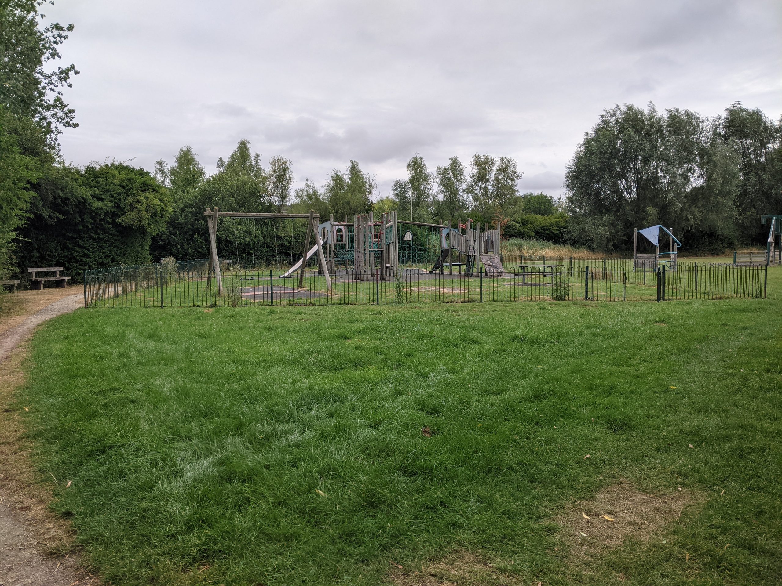
Play area at Langford Meadows, Bicester
Another ‘weak spot’ highlighted by the mapping is in the case of ‘district-scale’ spaces (over 100 hectares) and ‘wider neighbourhood’ spaces (over 20 hectares). This highlights the need for larger scale open spaces that are accessible to the public, such as Country Parks and landscape-scale green corridors or nature parks.
Since 2009 Cherwell has seen an increase in residents aged 50+. As stakeholders highlighted during the development of this Strategy, the District needs to ensure GBI assets are targeted at different age groups and abilities.
Stakeholders also highlighted that access to the open space network is variable across the District and in some areas open space is only accessible by car. According to the 2011 Census, 85% of households in Cherwell have one or more cars.
Stakeholders highlighted the substantial gaps in green transport corridors between settlements, services and facilities. They also pointed to the need for a stronger, better maintained public right of way (PROW) network – joining up to form attractive and meaningful routes.
In rural areas in particular, there are few cycle and footpaths to connect people with neighbouring villages and towns. According to census data from 2011, only 1.8% or journeys to work (full time) were made by bike in Cherwell and 4.2% on foot.
Existing circular routes and walks within the towns/villages and wider countryside can be found on Cherwell District Council’s website. These routes are currently (at the time of publishing) being digitized to help people wayfind and access them. Capital investment in the existing routes is also required, particularly out of towns/villages, as they are often difficult to follow in their existing state due to poor signage, problematic infrastructure (stiles/gates) and overgrowth.
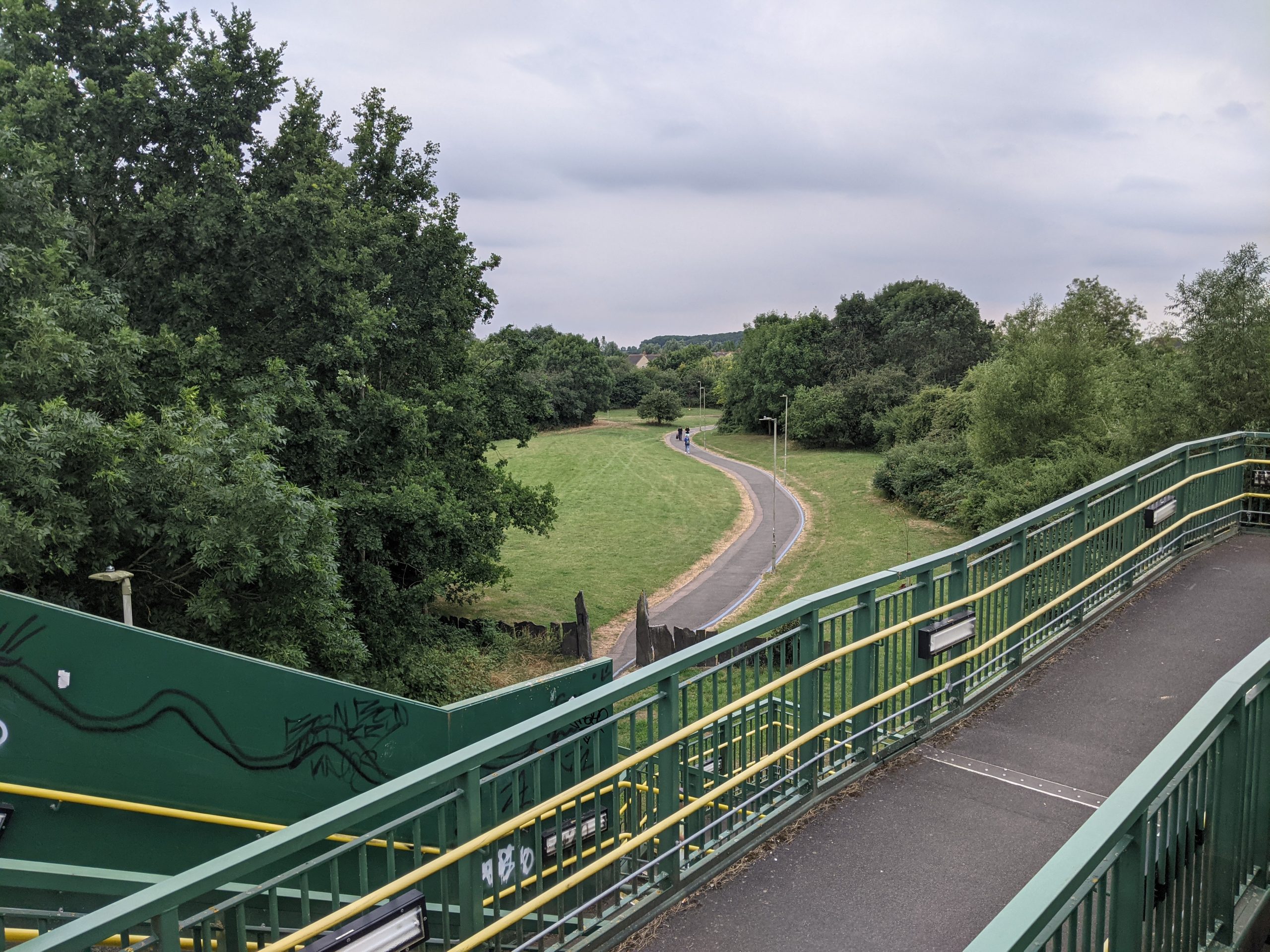
Greenway to Langford Meadows, Bicester
Finally, there are pockets of poor air quality in Cherwell. There are four Air Quality Management Areas (AQMAs) across the District – two in Banbury, one in Kidlington and one in Bicester (see interactive map). Vehicle emissions (particularly nitrogen oxide) generally account for poor air quality in these areas.
People: Summary of key issues
Access to high quality open space: Significant deficits in accessible open space for recreation – particularly strategic scale spaces.
Inequality in access to open space: With ‘hotspots’ in the north around Banbury.
Movement and accessibility: Dependence on the private car to access natural spaces and other destinations.
Walking, cycling and wheeling opportunities: The need for better quality, more connecting networks of routes for walking, cycling and wheeling. Capital investment needed in the existing routes to increase signage, accessible infrastructure and cut back overgrowth.
Ageing population: Cherwell’s ageing population will mean that the GBI network will need to adapt to a wider range of accessibility needs.
Air quality: Pockets of poor air quality, largely as a result of motorised traffic.