Climate Change
Why is GBI important for climate change in Cherwell?
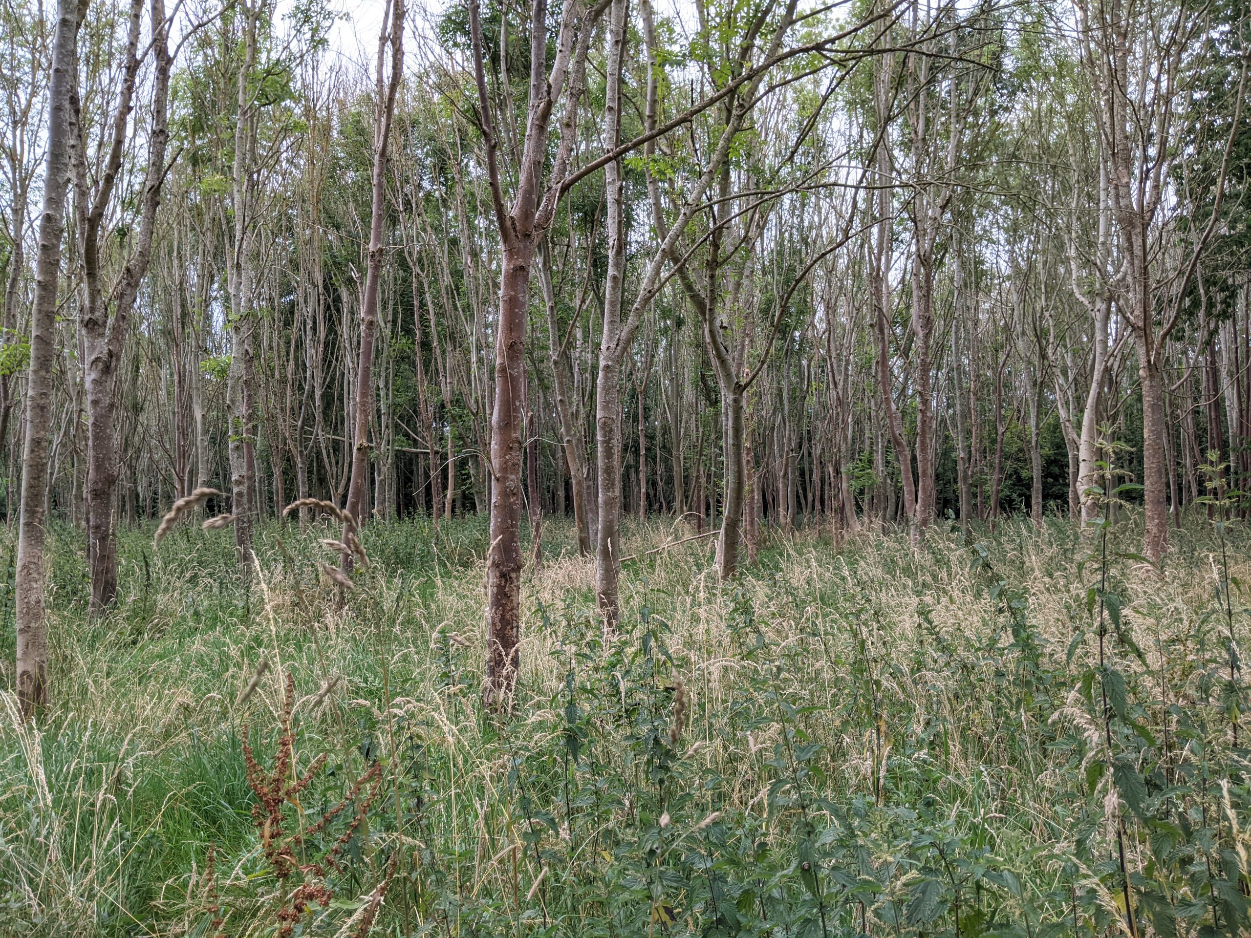
Thrupp Community Woodland, outside Kidlington
Green and Blue Infrastructure (GBI) plays a dual role in relation to climate change. Firstly, the provision of greenways and spaces can encourage walking and cycling.
Secondly, GBI can play a key role in mitigating and adapting to climate change. Habitats of various types can be used to “sequester” carbon i.e. draw excess carbon in from the atmosphere.
Certain kinds of habitat can also act as natural defences against risks associated with climate change – notably flood risk and high temperatures.
What does national policy say?
The UK’s Climate Change Act 2008 (as amended in 2019) sets targets for UK greenhouse gas emission reductions of net zero by 2050.
The government’s 25 Year Environment Plan (25YEP) includes a strong focus on protecting and improving the environment in order to tackle climate change.
The UK government has announced it will invest significantly in tree planting and peatland restoration in England.
The country’s independent Climate Change Committee recommends increasing woodland cover in the UK from 13% to a minimum of 17% by 2050, and ideally, to 19% to ensure the country achieves net zero carbon emissions.
The Nature Positive 2030 report aims to combat climate change and biodiversity loss through the deployment of nature-based solutions for climate change mitigation – notably by restoring peatlands and planting native trees.
The NPPF contains, as part of its environmental objectives, a requirement to mitigate and adapt to climate change. This includes the need to use the planning system to move toward a low carbon economy.
Paragraph 152 of the NPPF states that the “planning system should support the transition to a low carbon future in a changing climate, taking full account of flood risk and coastal change”. To achieve these aims, new development should be planned to ensure appropriate adaptation measures are included (including green infrastructure) and should be designed, located and orientated as to help to reduce greenhouse gas emissions.
What does sub-regional policy say?
The Ox-Cam Local Natural Capital Plan calculates that across the Arc, natural assets provide £70 million of value for climate regulation (by sequestering carbon in habitats like woodland and peatland).
These regional principles also include an aim to increase tree and woodland cover across the Arc from 7.4% to 19%. This target is in line with recommendations from the national Climate Change Committee.
The Tree Policy for Oxfordshire, adopted in 2022, picks this up with a set of policies that include a “presumption in favour of trees” throughout the built environment and the countryside alike.
Oxfordshire County Council created the 2020 Climate Action Framework with the aim of guiding how to tackle the climate crisis through initiatives that build climate resilience and transition to zero carbon by 2050. It seeks to partner with a range of organisations throughout the County.
What does local policy say?
Cherwell District Council has declared a climate emergency and promised to:
- “ensure our own operations and activities are net zero by 2030”.
- “do our part to achieve a net zero carbon district by 2030 and lead through example.”
The 2020 Climate Action Framework (Transforming Cherwell) sets out how the Council intends to achieve this. Some of the key areas related to the GBI network include:
- Transport, connectivity and planning – to increase the number of people walking and cycling in conjunction with healthy place shaping principles.
- Natural carbon management – to take advantage of ‘natural capital’ assets such as soils and woodlands, to protect and store carbon in the natural environment, and to support the ambition to double tree cover in Oxfordshire.
In 2020, a meeting of Cherwell District Council voted to double tree cover in the district by 2045. The ambition will seek to plant millions of trees on up to 3,000 hectares of land, working with private landlords and other community and public sector partners.
In terms of climate resilience, Cherwell’s Strategic Flood Risk Assessment (2017) recommends that Cherwell’s Local Plan should direct development away from areas vulnerable to flood risk and to protect the functional floodplain from development.
What are the challenges and pressures in Cherwell?
A GBI network should support wider transport interventions in helping to create a modal shift away from the private car, and in particular toward walking, cycling and other “active travel” modes – in order to reduce carbon emissions.
Cherwell’s significant car-dependence is a major challenge in this regard. Stakeholders engaged for this Strategy highlighted that the current walking and cycle network is disjointed and of inadequate quality to support this kind of shift (see People pages).
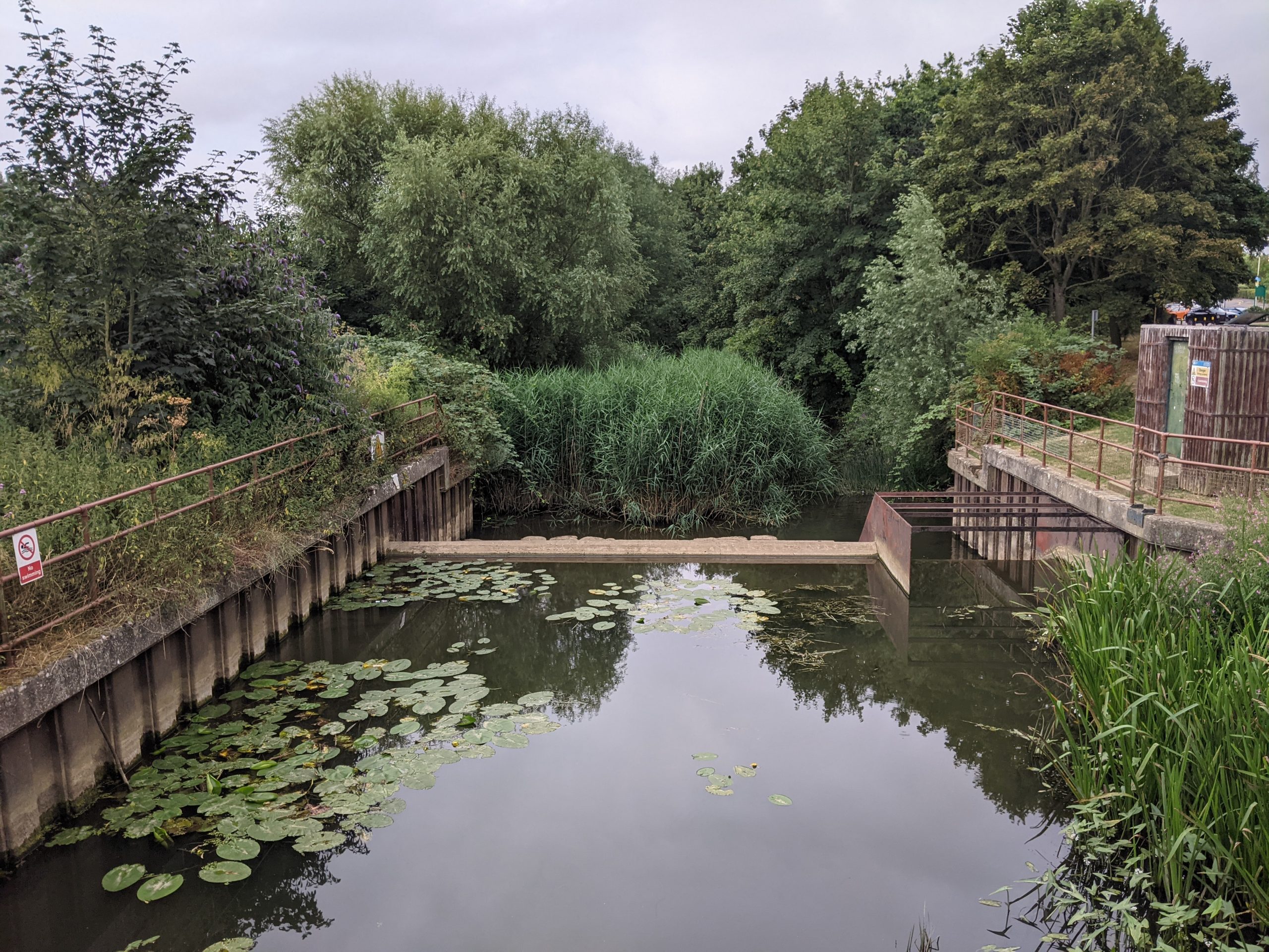
Weir in the River Cherwell as it runs through Spiceball Park in Banbury
One of the most significant impacts of climate change Cherwell is likely to see is flood-related, given that the District contains significant areas at risk of flooding.
These areas specifically relate to the River Cherwell and its tributaries – with the highest risk of flooding in the south of the District. As such, most flooding events within Cherwell are caused by fluvial flooding.
This flooding can interact with the sewage network to have knock-on impacts on water quality. This is a significant concern among stakeholders – with concerns that new development must not create further flood risk.
In terms of climate resilience, Cherwell also scores below average for flood regulation. Both of these factors are partially explained by the relatively low woodland cover in the district – only 5.3%, compared to 9% in the County as a whole (and dramatically below the regional target of 19%).
Stakeholders engaged during this Strategy voiced concerns over the loss of woodland in the District and the need for more support for woodland projects such as Burnehyll Woodland on the outskirts of Bicester.
The Cherwell District Natural Capital Report (2021) sets out the natural capital assets present within Cherwell and the ecosystem services they provide. This shows that Cherwell scores slightly lower than surrounding areas for carbon storage.
The report goes on to note that a natural capital approach could prioritise protecting and restoring native woodland upstream of flood-prone areas, protecting existing trees and hedgerows. The Oxfordshire Treescapes Opportunity Map is a useful tool for identifying the most beneficial places to establish treescapes for the right reasons.
Climate Change: Summary of key issues
Walking, cycling and wheeling opportunities: The current network in Cherwell is not of sufficient quality or connectivity to enable a shift away from the dominance of the private car. The GBI network can support wider transport measures to help promote this shift.
Flood risk: Cherwell, as a District, contains several areas at high risk of flooding, especially along the River Cherwell and its tributaries. Implementing sustainable drainage systems as well as nature-based solutions will assist in the management of flooding and pollution risks.
Woodland cover: Only 5.2% of Cherwell is wooded, which is well below regional and national averages. Restoring native woodland will both support carbon storage and improve the resilience of flood-prone areas.